West Lakes
Circumnavigate Delfin Island on Adelaide's most popular paddling lake — sheltered flat water, year-round access, and a vibrant waterside community.
- Distance
- 6–7 km
- Difficulty
- Easy–Moderate
- Trail type
- Loop
- From Adelaide
- 14 km north-west
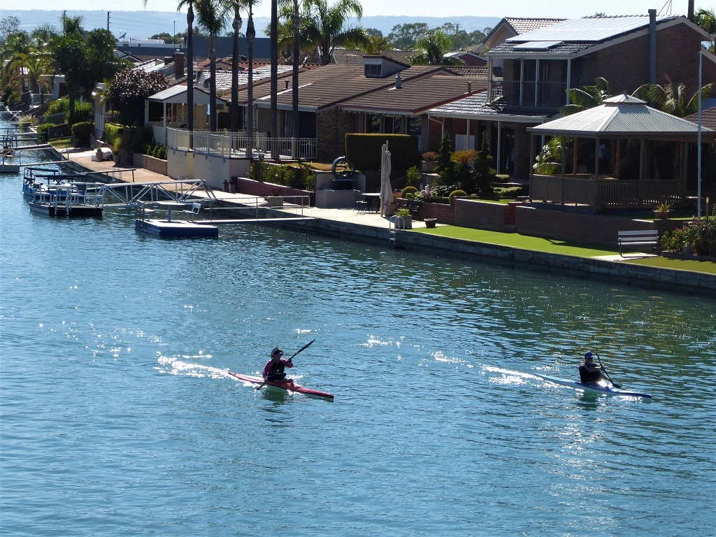
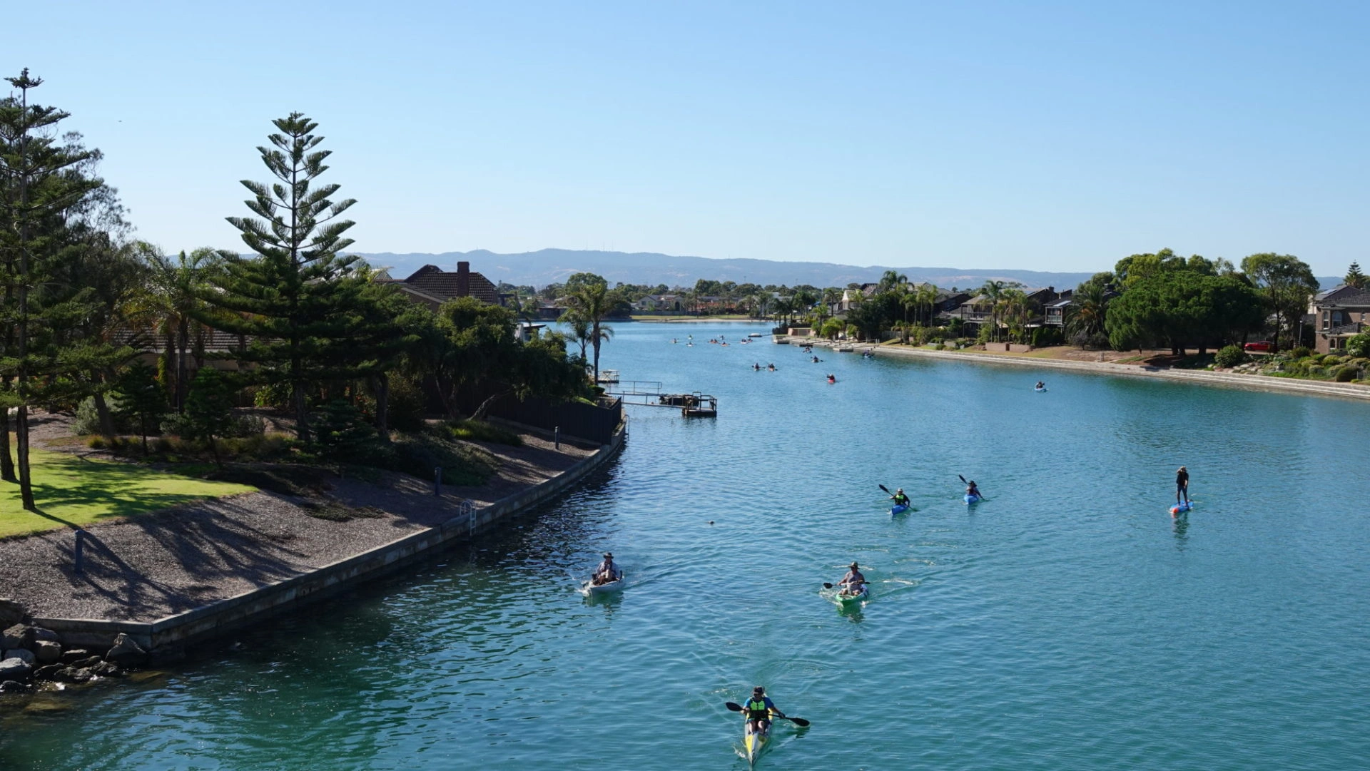
West Lakes is Adelaide's most popular paddling destination — a sheltered saltwater lake in the city's western suburbs where beginners, families, and competitive paddlers share the same calm water. The signature paddle is a loop around Delfin Island: approximately 6–7 km, suited to any flat-water craft, and comfortably completed in under two hours.
About This Trail
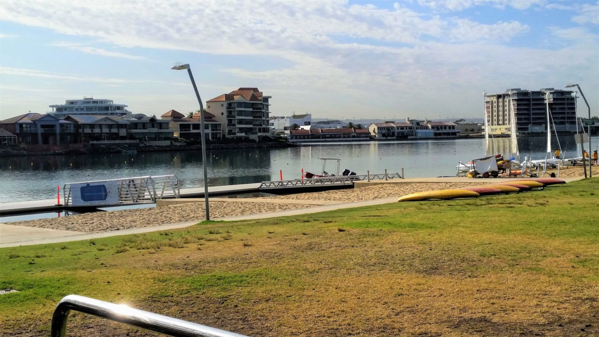
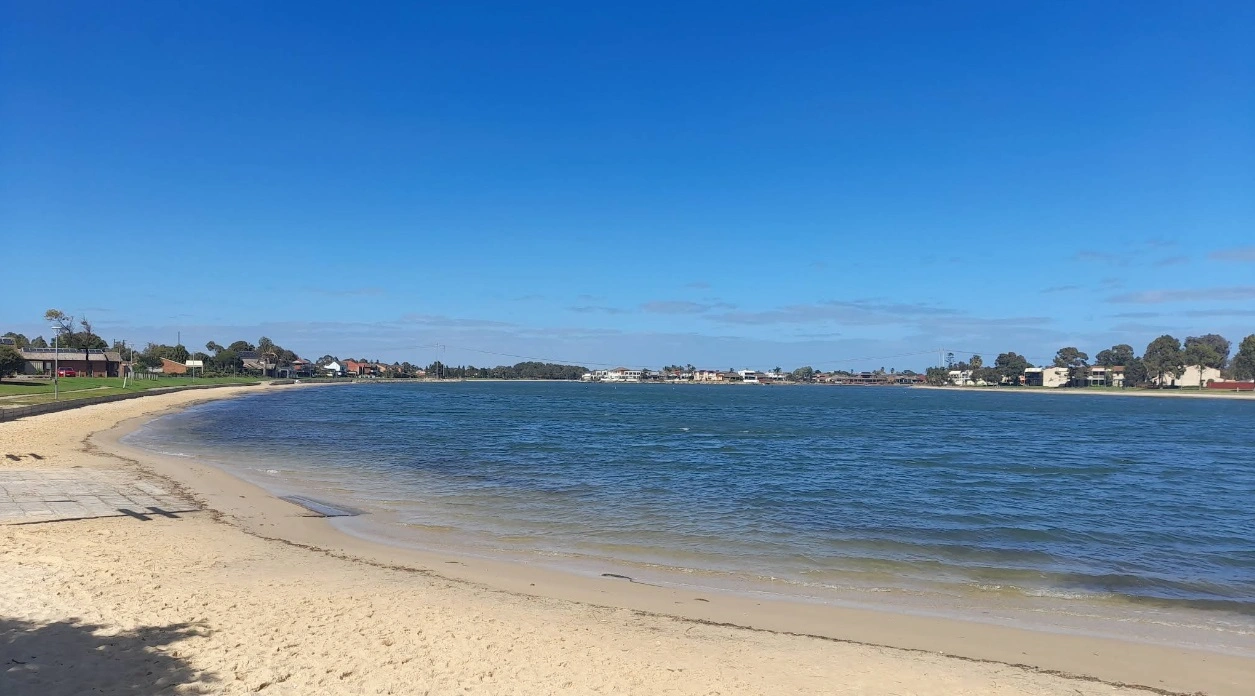
West Lakes is a saltwater lake fed by tidal flows through the Bower Road causeway into the Port River. The lake is the most popular canoeing venue in Adelaide, regularly hosting club, state, and national paddling events. It is home to Paddle South Australia, West Lakes Canoe Club (at Bower Road), the West Lakes Aquatics Centre (Department of Education), and the South Australian Sports Institute Kayak Program on Military Road.
Situated in the middle of the lake, Delfin Island is approximately 6 km in circumference and provides significant wind protection. Novice paddlers can comfortably circumnavigate the island on calm days, or limit their paddle to the northern side of the West Lakes Boulevard bridges on windier days. Power boats are excluded from the lake except safety vessels operating by permit, making it one of Adelaide's safest paddling environments.
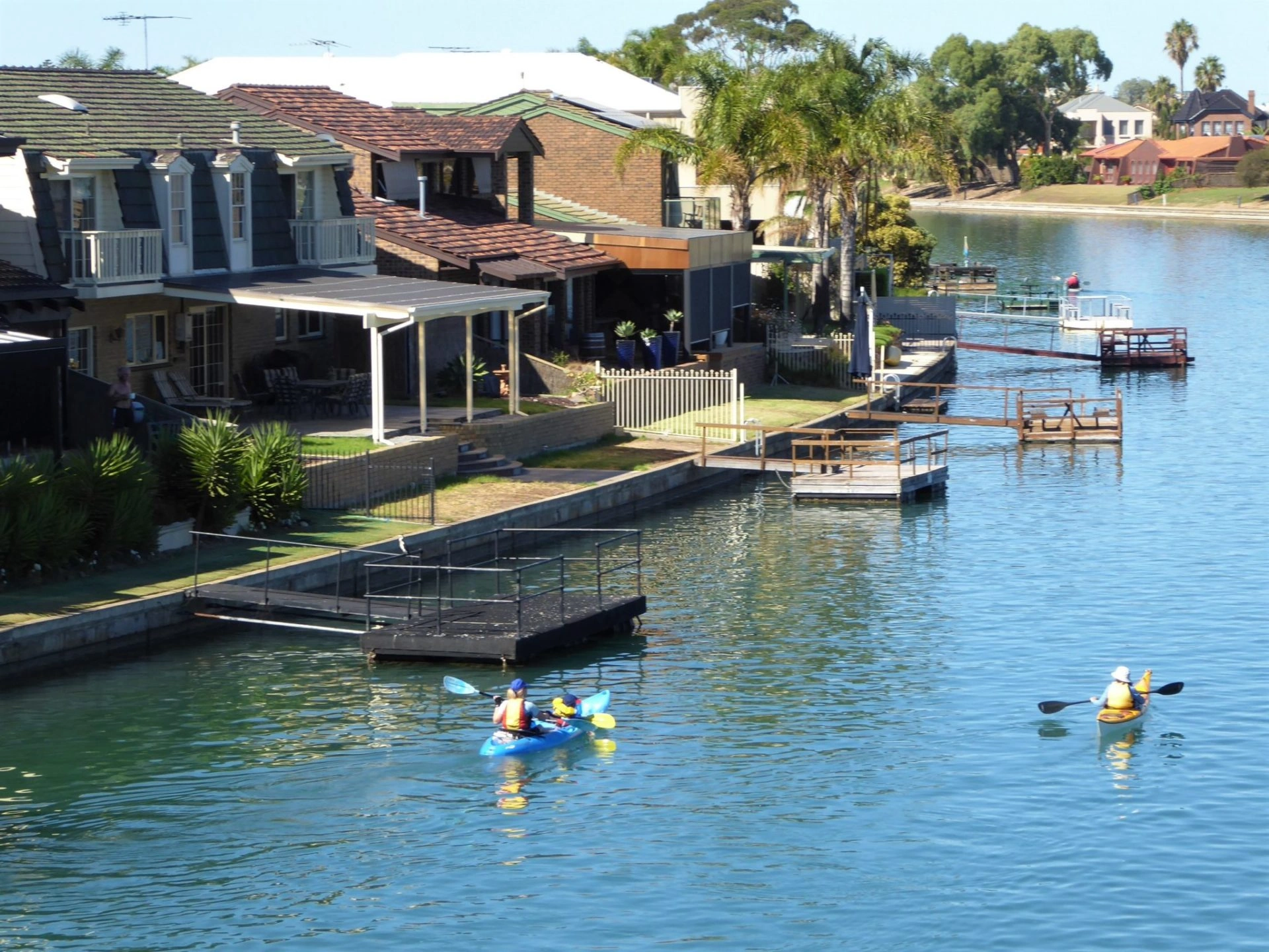
The lake is open to the public and can be accessed from numerous boat ramps and beaches around its perimeter. Craft on the water ranges enormously — sit-on-tops, stand-up paddleboards, rowing sculls, canoes and kayaks all share the water — so remain alert to other users at all times. A number of beaches around the lake offer pleasant rest stops. Coffee and meals are available at OAR Café (Oarsmen Reserve) and at several venues on the West Lakes Mall side of the waterway.

Paddle SA is the governing body of paddle sport and recreation in South Australia. It leads and supports paddling in South Australia and encourages the safe exploration of our waterways.
Paddling Trails South Australia has a range of trails to suit different abilities. Know your ability.
🌐 paddlesa.au →Launch Sites & Route
Three access points give entry to West Lakes, each with parking, toilets, and easy water access. The main launch site is the Aquatic Reserve on Military Road.
| Site | Location | Notes |
|---|---|---|
| Aquatic Reserve | Military Road, West Lakes. GPS: 34.8535 S; 138.4996 E. Beach access to lake. Shady trees, drinking water, public toilets (6am–6pm), outdoor gym, BMX track adjacent. Short drive to cafés on Port Road. | |
| Oarsmen Reserve | Bower Road, West Lakes. GPS: 34.8765 S; 138.4854 E. Boat ramp approximately 200 m from the AM Ramsay Regatta course finish line. Public toilets, shady trees, picnic tables, drinking water. OAR Café on site. Caution: rowing craft travel at speed during regattas and training — maintain a lookout for approaching craft at all times. | |
| Dotterel Drive Park | Dotterel Drive, West Lakes. GPS: 34.8583 S; 138.4965 E. Sand beach access to the lake. Public toilets open 6am–6pm daily. Grassy area with picnic tables nearby. Shady trees. |
Route Description
- Delfin Island Loop (Point A → loop): Launch from the Aquatic Reserve and paddle around Delfin Island. The full loop is approximately 7 km and can be completed in around 1.5–2 hours. Keep to the right-hand side of the waterway. On windier days, stay north of the West Lakes Boulevard bridges.
- Northern Basin (sheltered option): In stronger S–SW winds, restrict your paddle to the northern basin of the lake. The water remains sheltered by the island and is suitable for novice paddlers on most days.
Points of Interest
- A Port Misery (GPS: 34.8592 S; 138.5003 E) — the original port of Adelaide when the colony was first established. The site earned its name from the difficult conditions endured by new arrivals: mangroves, black mud, mosquitoes, and luggage thrown onto a muddy beach exposed to the tide. A commemorative plaque is fixed to a wall at this location.
- B West Lakes Boulevard Bridges (GPS: 34.8716 S; 138.4858 E) — the southern end of Delfin Island. S–SW winds funnel through here and the hard walls in these areas generate clapotis (reflected wave action that creates unpredictable chop). Take particular caution here. A sensible turning point on windier days.
- C OAR Café — Oarsmen Reserve — a lakeside café at the Oarsmen Reserve boat ramp precinct. Good coffee and food, with direct water views. A popular mid-paddle or post-paddle stop.
- D AM Ramsay Regatta Course — the 2000 m canoe and rowing course on the lake used for training and competitive events. Home to Paddle SA and West Lakes Canoe Club. The South Australian Sports Institute Kayak Program is also based here.
The Lake & Environment
West Lakes is a saltwater lake connected to the Port River through the Bower Road causeway. The lake system supports a variety of birdlife including cormorants, pelicans, herons, and migratory waders. The foreshore parks and grassed areas around the lake are well maintained, with mature trees providing shade at the main access points.
The lake is the hub of competitive paddling in South Australia. Club training runs most mornings and evenings, and regattas are held throughout the year on the AM Ramsay course. When a regatta is in progress, access from Oarsmen Reserve may be restricted — check with West Lakes Canoe Club or Paddle SA before planning your visit on a competition day.
History — Port Misery
The waterway at the southern end of the lake adjoins the site of Port Misery, the original landing point for South Australia's first European settlers. New arrivals described struggling through mangroves and black mud, their luggage dumped on a tidal beach. Thomas Horton James wrote in Six Months in South Australia of mosquitoes and eerie tangles of mangroves; Alexander Tolmer wrote of passengers being carried through the mud on the backs of sailors, or struggling through on their own.
The site was quickly abandoned in favour of Port Adelaide once a more suitable location was established. A plaque remains at the original location, accessible by water, marking one of South Australia's most evocative colonial footnotes.