Loch Luna & Nockburra Creek Trail
A short, family-friendly paddle through the sheltered backwaters of Loch Luna Game Reserve near Kingston-on-Murray — reed-lined creeks, abundant birdlife, and the open waters of Loch Luna itself.
- Distance
- 8–10 km return
- Difficulty
- Easy
- From Adelaide
- 216 km north-east
The Loch Luna and Nockburra Creek Trail is a short, easy paddle through the quiet backwaters of Loch Luna Game Reserve — one of South Australia’s most rewarding flatwater paddling destinations. Starting from either the Shueard Road launch or the Kingston-on-Murray Caravan Park, the trail follows Nockburra Creek north into Loch Luna and returns by a different route, making for a varied and relaxed half to full day on the water.
About This Trail
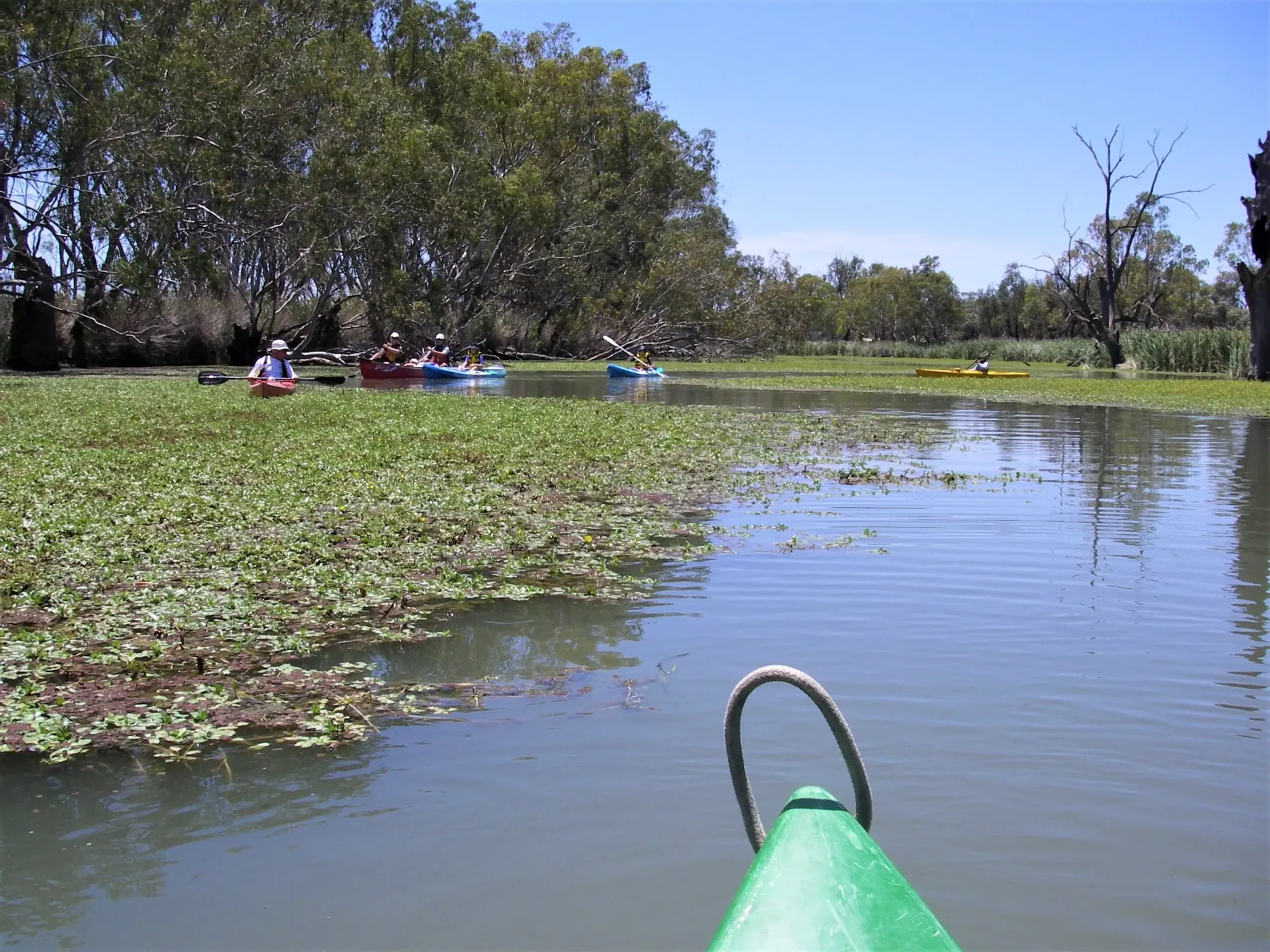
This area is a tangled mass of waterways sitting on the floodplain north of the Murray River, between Cobdogla and Lock 3, visible from the Sturt Highway causeway. Old canoe trail markers exist throughout the system but many are confusing — some routes are now blocked by reeds and weeds. The paddle area is relatively small and compact, and the elevated Sturt Highway causeway is clearly visible from most parts of the system as a reliable orientation landmark.
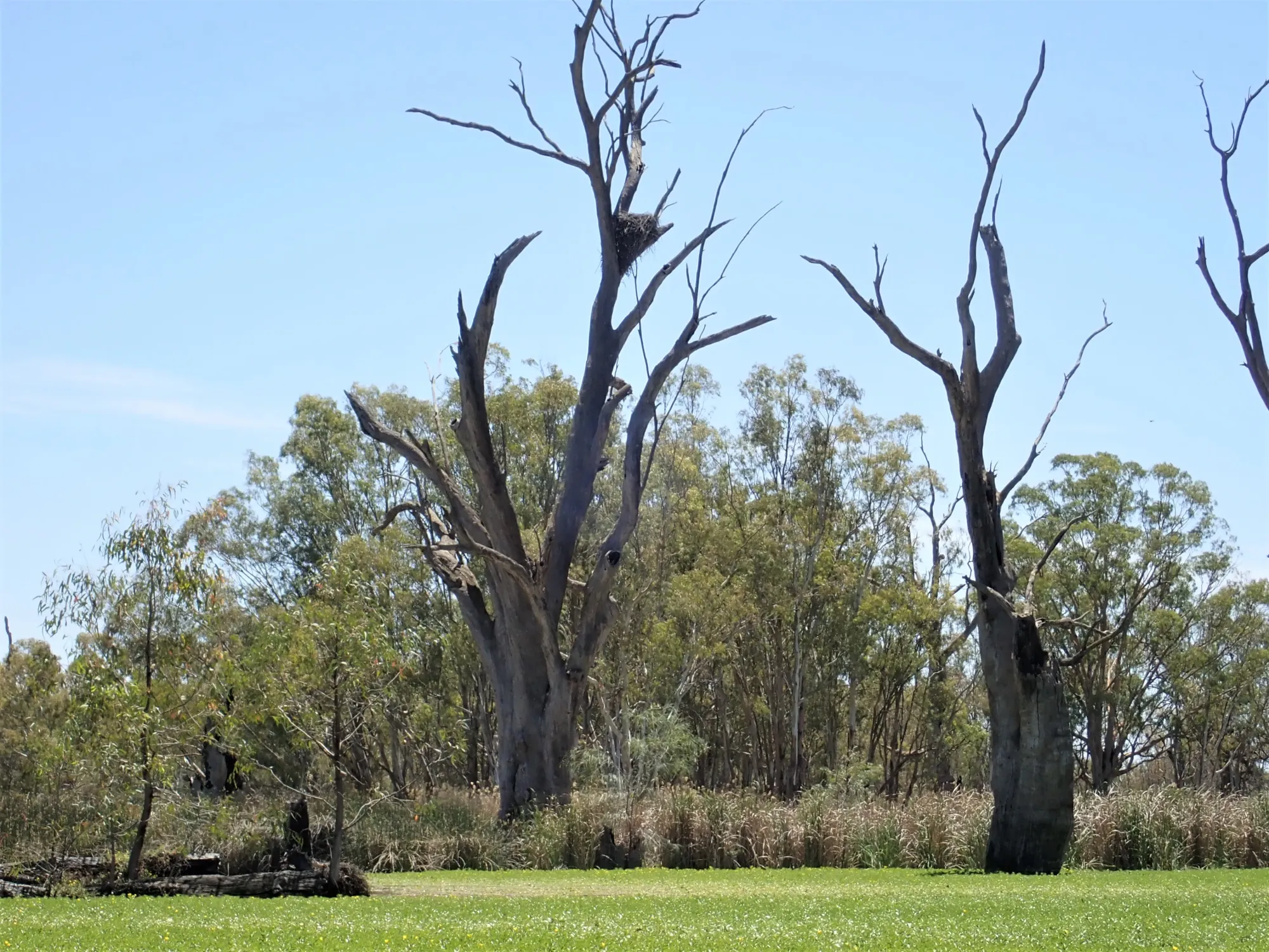
There are two entrances to Nockburra Creek from the creek junction area, both clearly marked by blue signs on trees. Both arms of Nockburra Creek rejoin approximately 0.5 km north. From there, a further kilometre of paddling brings you to Loch Luna itself. The large eagle’s nest tree at Point A (GPS: 34.2162°S, 140.3712°E) is clearly visible for some distance across the floodplain and serves as the key navigation landmark when paddlers feel disoriented.

Paddle SA is the governing body of paddle sport and recreation in South Australia. It leads and supports paddling in South Australia and encourages the safe exploration of our waterways.
Paddling Trails South Australia has a range of trails to suit different abilities. Know your ability.
🌐 paddlesa.au →Launch Sites & Route
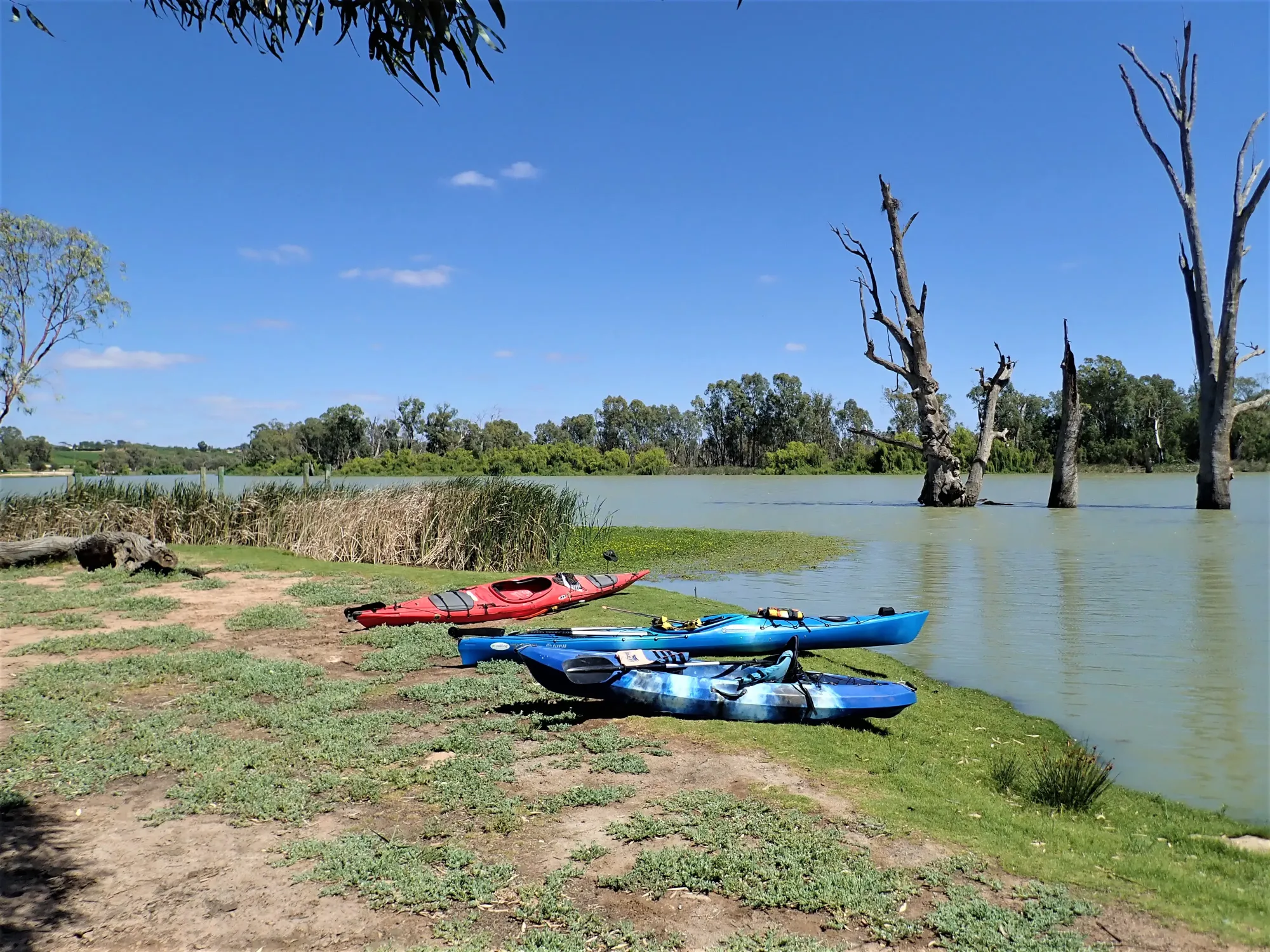
This trail can be started from two launch points. The Shueard Road Launch (Chambers Creek Launch) provides the most direct access into the Nockburra Creek system. The Kingston-on-Murray Caravan Park is the alternative, requiring a paddle upstream along the Murray then into Hawker/Chambers Creek behind Thurk Island before joining the creek system.
| Site | Location | Notes |
|---|---|---|
| Shueard Road Launch | Chambers Creek Launch, off Shueard Road. GPS: 34.2233°S, 140.3770°E. Parking available. No facilities at this launch — full facilities at Kingston-on-Murray Caravan Park nearby. | |
| Kingston-on-Murray Caravan Park | Murray River jetty. GPS: 34.2199°S, 140.3529°E. Full facilities including toilets, showers, canoe hire. Adds distance via Hawker/Chambers Creek to reach Nockburra Creek. |
Route Description
Route from Shueard Road Launch
- From the Shueard Road launch, paddle into the creek system toward the eagle’s nest landmark at Point A (GPS: 34.2162°S, 140.3712°E). The large nest in a dead river red gum is clearly visible for some distance and is the primary navigation reference in this area.
- Follow the blue signs on trees to either entrance of Nockburra Creek (both entrances are clearly marked). Both arms of Nockburra Creek rejoin approximately 0.5 km north.
- Continue north along Nockburra Creek for a further kilometre to enter Loch Luna. Turn left and you will reach the Murray River after approximately 1.25 km — Lock 3 will be visible ahead. You may return from here, or continue for a more varied route.
- For the return loop: go back approximately 1.5 km into Nockburra Creek, taking care to avoid the lake on the left — it is impassable further on, blocked by reeds.
- At Point B (GPS: 34.2025°S, 140.3751°E), turn left and follow this waterway back toward the Chambers Creek area. The eagle’s nest tree will be clearly visible ahead. From Point A, return the same way to the canoe launch.
Route from Kingston-on-Murray Caravan Park
- From the caravan park jetty, paddle upstream (right) along the Murray for approximately 1.8 km. Behind Thurk Island, turn right into Hawker/Chambers Creek — clearly signposted.
- The creek weaves for about 600 m and then divides. Nockburra Creek goes due north — marked by blue signs on trees. Chambers Creek goes south-easterly and is marked by pink tassels. Take the Nockburra Creek branch.
- Follow the same route as described above from the creek junction — both arms of Nockburra Creek, Loch Luna, and the return loop via Point B back to the eagle’s nest tree.
- From Point A, return through the creek to Chambers Creek and back downstream to the caravan park.
GPS Waypoints
- A Eagle’s Nest Landmark Tree (GPS: 34.2162°S, 140.3712°E) — A large eagle’s nest in a dead river red gum, clearly visible for some distance across the floodplain. The primary navigation reference for this trail. If lost, locate this tree and use it to reorient.
- B Return Junction (GPS: 34.2025°S, 140.3751°E) — Turn left here on the return leg to follow the waterway back toward the Chambers Creek area. The eagle’s nest tree at Point A will be clearly visible ahead.
- C Nockburra Creek Inner Junction (GPS: 34.2051°S, 140.3745°E) — Reference point within the inner Nockburra Creek waterway network.
Loch Luna Game Reserve & Environment
Loch Luna Game Reserve is part of the Loch Luna and Moorook Game Reserves system, protecting floodplain wetlands on the north side of the Murray River between Cobdogla and Lock 3. The reserve supports native vegetation dominated by river red gums and river box, with an understorey of lignum, grasses, and sedges. Dense stands of bulrush and reeds border the permanent waterways, while samphire grows on low-lying salt-affected soils.
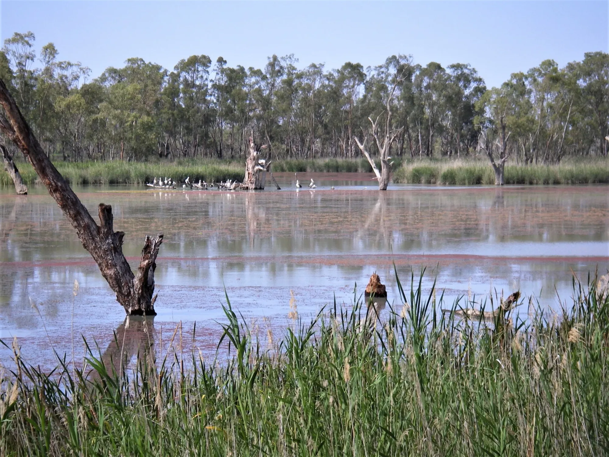
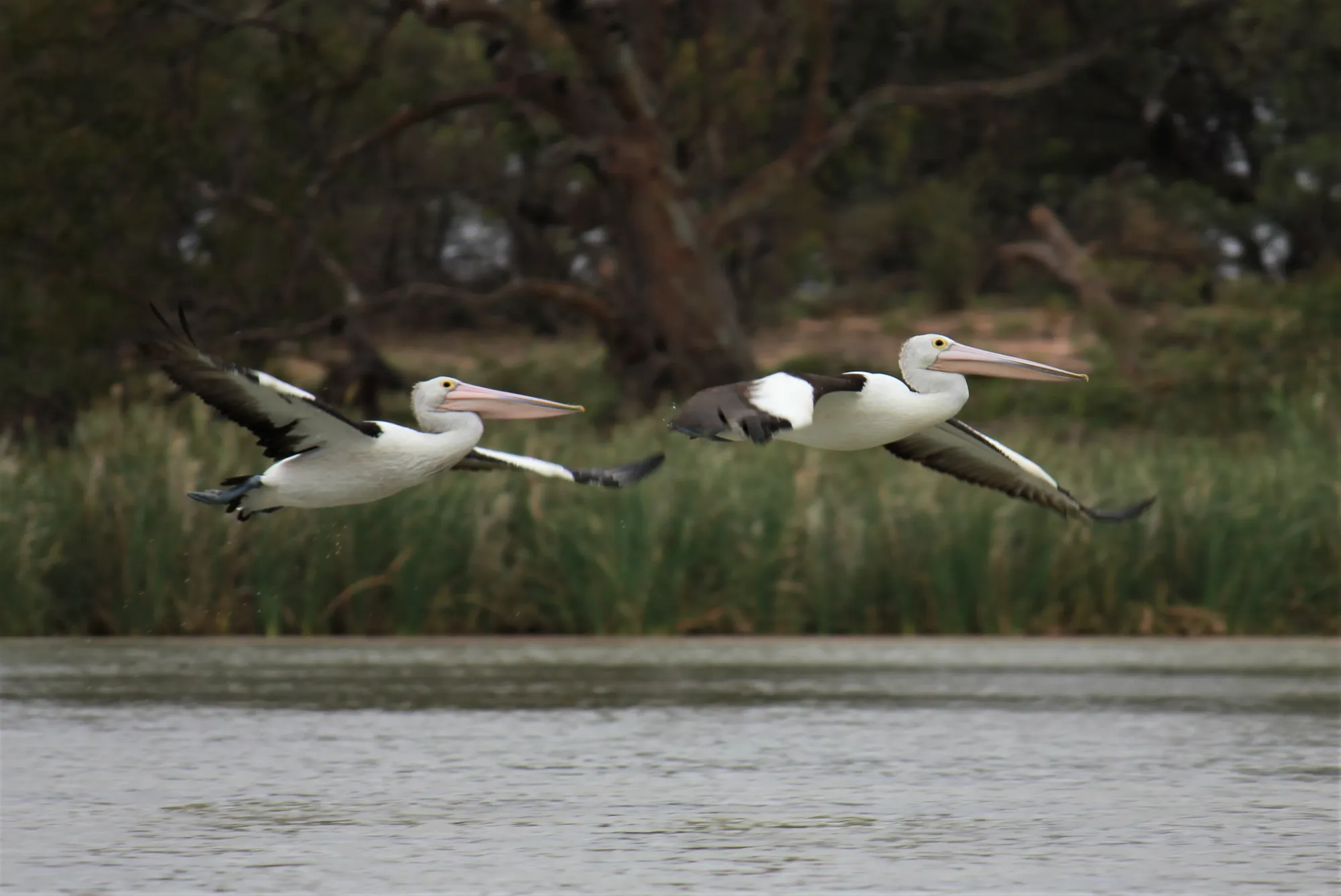
These wetlands are important nesting habitat for numerous waterbird species, particularly during flood periods. Large numbers of great cormorants nest in Wachtels Lagoon. Darters, black swans, pelicans, whistling kites, and reed warblers are all regularly seen. The reserve also provides substantial tortoise nesting habitat. Many towering dead river red gums — killed when water levels were raised by the construction of Lock 3 in 1925 — create dramatic silhouettes at sunrise and sunset and shelter abundant birdlife in their hollows.
Trail Gallery
9 photos