


 https://canoeadventure.com.au/
Canoe Adventures Riverland hire and deliver kayaks in this area.
www.facebook.com/
 Paddle SA is the governing body of paddle sport and recreation in South Australia. It leads and supports paddling in South Australia and encourages the safe exploration of our waterways.
Paddling Trail South Australia has a range of Paddling Trails to suit different abilities.
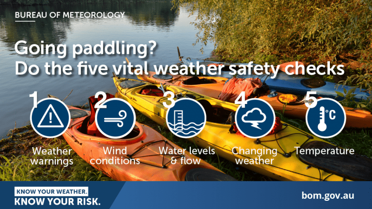
Know your ability.
Paddle SA is the governing body of paddle sport and recreation in South Australia. It leads and supports paddling in South Australia and encourages the safe exploration of our waterways.
Paddling Trail South Australia has a range of Paddling Trails to suit different abilities.
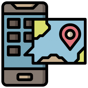
Know your ability.  If you have a smartphone or tablet you can download the free Avenza PDF Map app and have interactive paddling trail maps on hand when you need them. The app uses your device’s built-in GPS to plot your real-time location within the park onto a map. The app can be used without a network connection and without roaming charges. You can also measure area and distance, plot photos, and drop Placemark pins.
A Trip Intention Form is required to be lodged with National Parks
Navigation is important so make note of the GPS points where they are provided and remember to take note of the location of Regulators which will affect the local water levels from time to time as environmental flows are directed to specific regions (Ref: you may wish to subscribe to Weekly Magazine called ‘The Drift’ published by Natural Resources SA – Murray Darling Basin, or email (SAMDBenquiries@sa.gov.au). Always check for current information before departing.
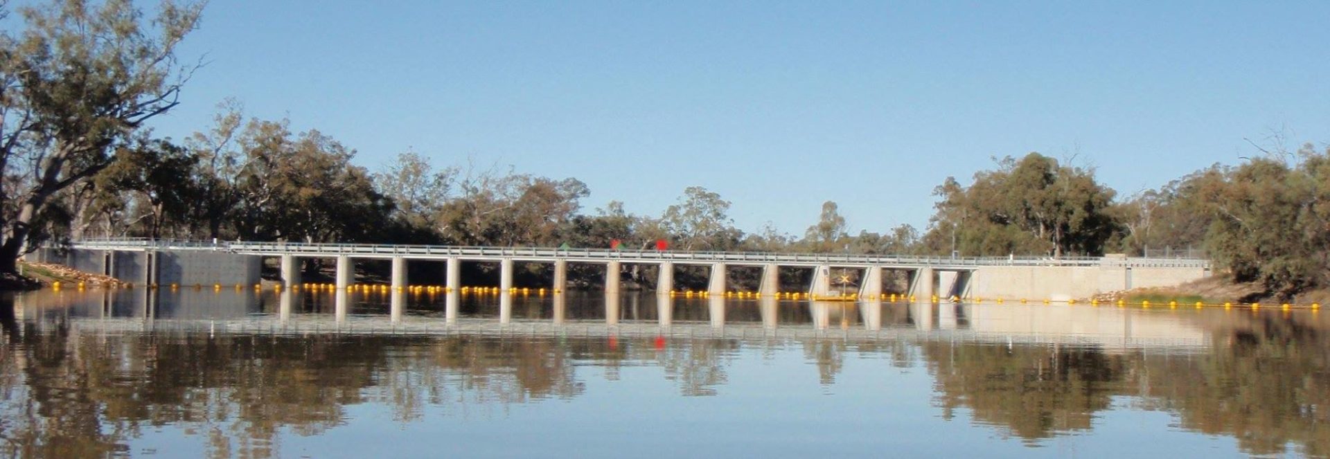
If possible, book your passage through Lock 6 (Phone (08) 8595 8025) before leaving Murtho Rd as phone coverage is poor along the low ground.
The lock is only open 8.00 – 11.30 am and again between 1.00 – 4.30 pm 7 days a week, except for Christmas Day.
When approaching the Lock give 3 prolonged blasts of 4 seconds each using a whistle or electric horn. It is probably not possible to use a mobile phone in this area. A RED-flashing light on top of the control boxes will indicate the Lock attendant has acknowledged your intentions and the chamber is being prepared for you to pass through. Do not approach within 150m of the Lock until the signal to proceed has been given by the Lock attendant. This will be indicated by a GREEN-flashing light.
DO NOT tie up your craft within the lock (otherwise you will become stranded). Simply hold onto one of the ladders on the side while the water level falls or rises.
This trail incorporates 2 portages around regulators one on Pipeclay Creek and the other downstream on Chowilla Creek.
Note: if the regulator in Pipeclay Creek (Day 1) is open then the flow can be quite fast and there are obstacles in the creek that can be dangerous for novices.
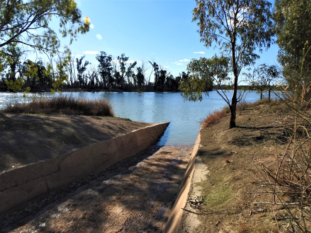
![]() Lock 6 boat ramp GPS: 34.0159 S; 140.8885 E
Lock 6 boat ramp GPS: 34.0159 S; 140.8885 E
This is a loop trail, starting and finishing at Lock 6 Boat Ramp.
It provides the paddler with the opportunity to explore and camp along Pipeclay, Monoman, and Chowilla Creeks before returning upstream along the Murray River to the launch point.
Start at the boat ramp on Lock 6 Road (off Murtho Rd)
Paddle 4km upstream through Lock 6 and to the Isle of Man (13 km). Take the second opening to the oxbow lake around the isle and into Pipeclay Creek (Point T) GPS 33.9657 S 140.9340 E.
Note: The lower entrance to the oxbow lake at the Isle of Man is usually blocked by reeds.
After about 1km turn right into Pipeclay Creek (Point V) GPS 33.9599 S 140.9283 E. You will then need to portage around the weir.
Note: if the regulator is allowing strong flow and there are obstacles in the creek, it can be dangerous for novices immediately below the regulator and you may choose to portage to a safer point downstream.
Continue downstream on Pipeclay Creek (approx. 3.7 km) to the junction with Chowilla Creek (Point E: GPS: 33.9348 S 140.9172 E ).
Turn left into Chowilla Creek and paddle for approx. 2.5 km to the junction with Monoman Creek (Point D: GPS 33.9532 S 140.8987 E ).
Note: There are a number of designated National Park campsites along Monoman Creek if camping overnight.
If camping, turn right into Monoman Creek or alternatively, continue along Chowilla Creek passing Boat Creek on the LHS at Point C (GPS 33.9605 S; 140.8946 E). The next landmark is a bridge approximately 2Km from Boat Creek, then it is plain sailing until you reach the junction with Monoman Creek where it rejoins Chowilla Creek at Point B (GPS 33.9814 S; 140.8624 E)
Continue in Chowilla Creek for approx. 3 km to the Regulator which may be closed between August and early December. If so, portage around it, and after another 1 km paddling, you will return to the Murray River at Point A (GPS 34.0132 S; 140.8585 E).
Turn Left into the Murray and continue back to the Lock 6 Boat Ramp (approx. 4 km).
![]()
![]()
Rubbish skip at Lock 6 Boat ramp

