Chambers Creek Loop Trail
Explore the tangled maze of reed-lined backwaters and towering red gums in Loch Luna Game Reserve near Kingston-on-Murray — with an optional extension all the way to Lake Bonney and Barmera.
- Distance
- 8–10 km loop
- Difficulty
- Easy–Moderate
- Trail type
- Loop
- From Adelaide
- 216 km north-east
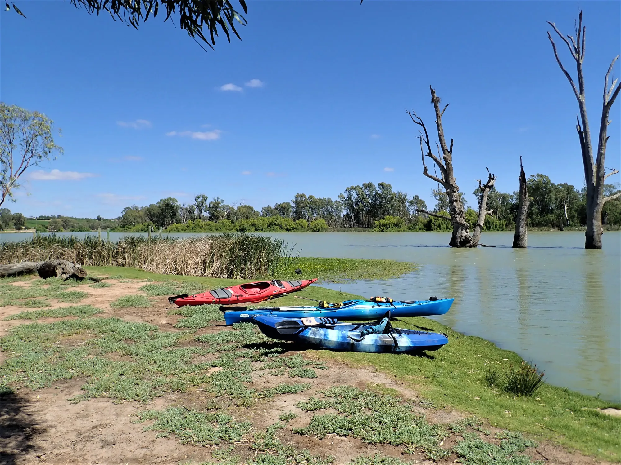
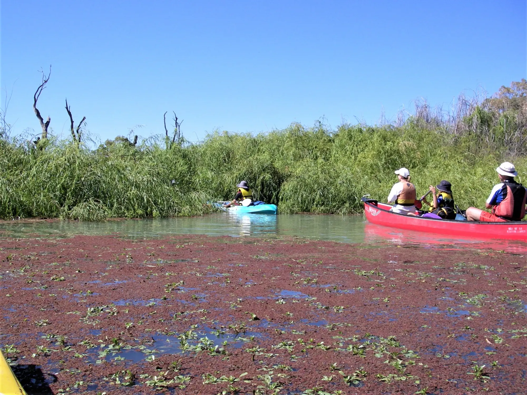
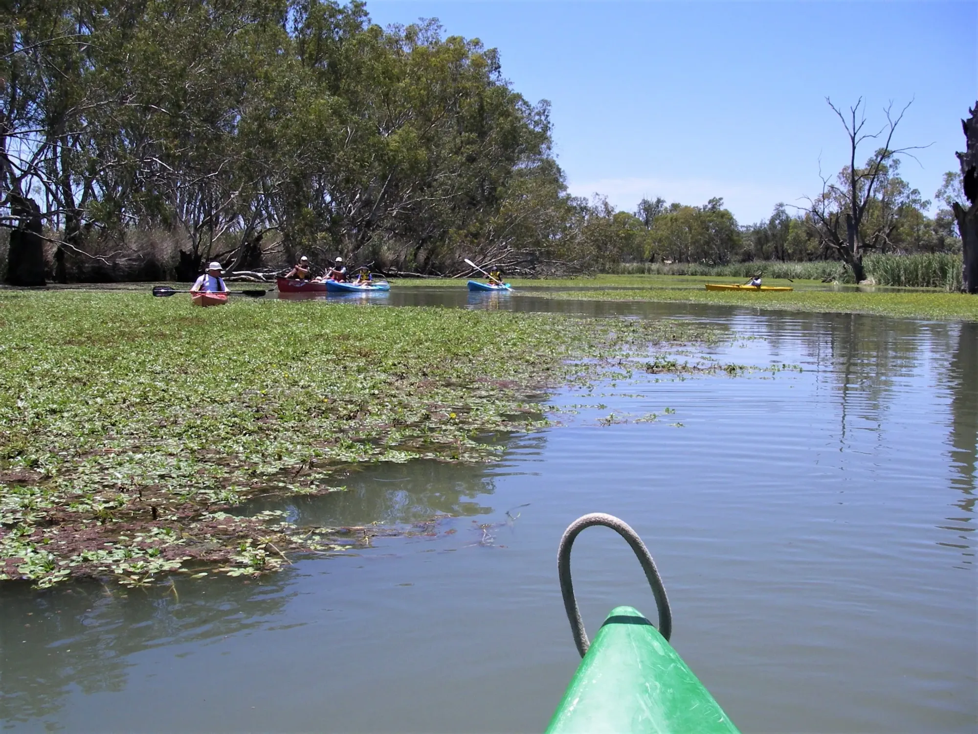
Chambers Creek Loop Trail takes paddlers into the intricate maze of backwaters that make up Loch Luna Game Reserve near Kingston-on-Murray. Part of one of South Australia’s most iconic paddling locations, the system weaves through reed-lined channels, past towering dead river red gums, and around small islands alive with waterbirds — with an optional extension to Lake Bonney and Barmera.
About This Trail
The Loch Luna and Moorook Game Reserves encompass a vast network of floodplain waterways north of the Murray River between Cobdogla and Lock 3, close to Kingston-on-Murray. The reserves are visible from the Sturt Highway causeway leading to Kingston Bridge — the same elevated highway that serves as a reliable navigation landmark from within the creek system.
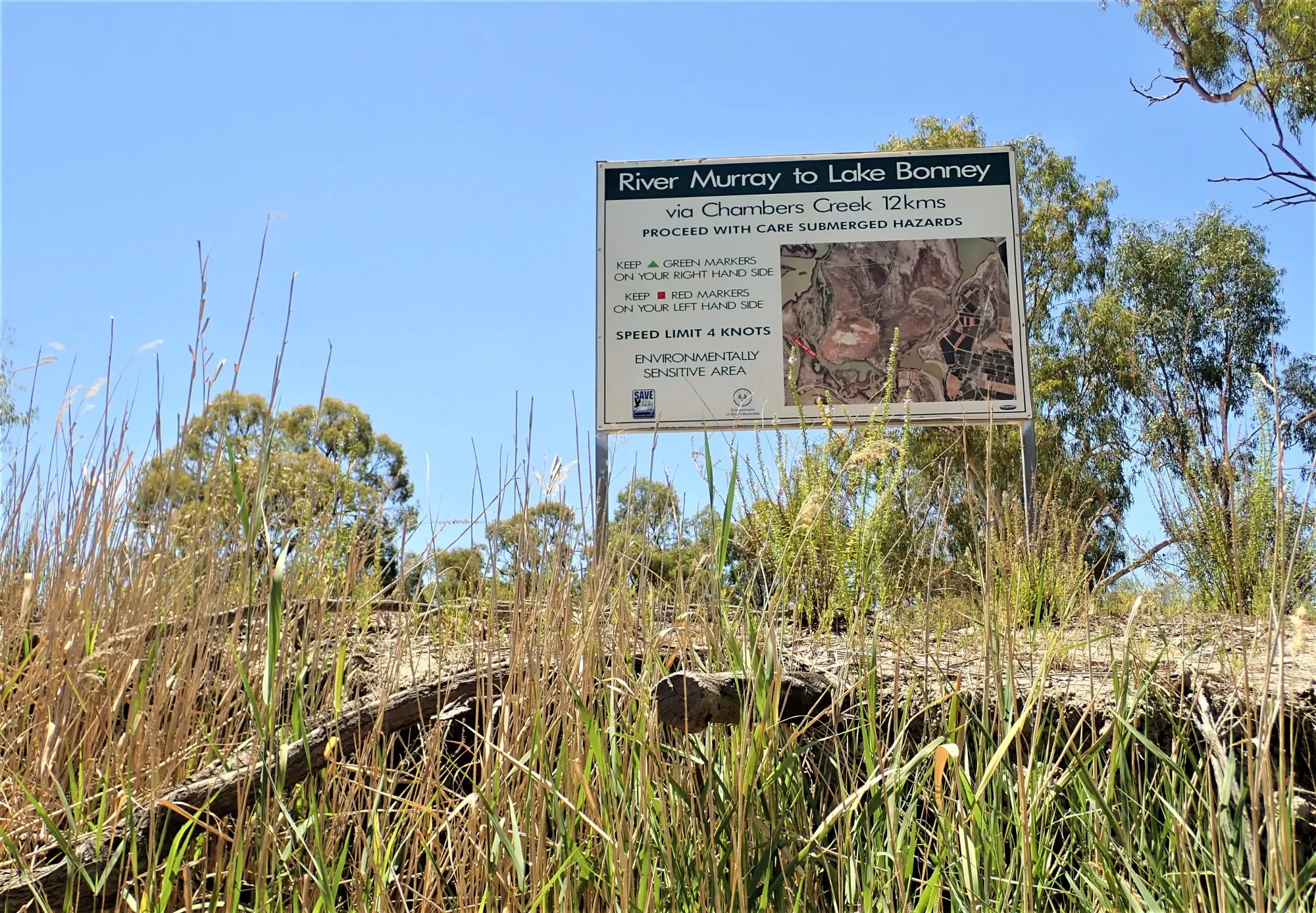
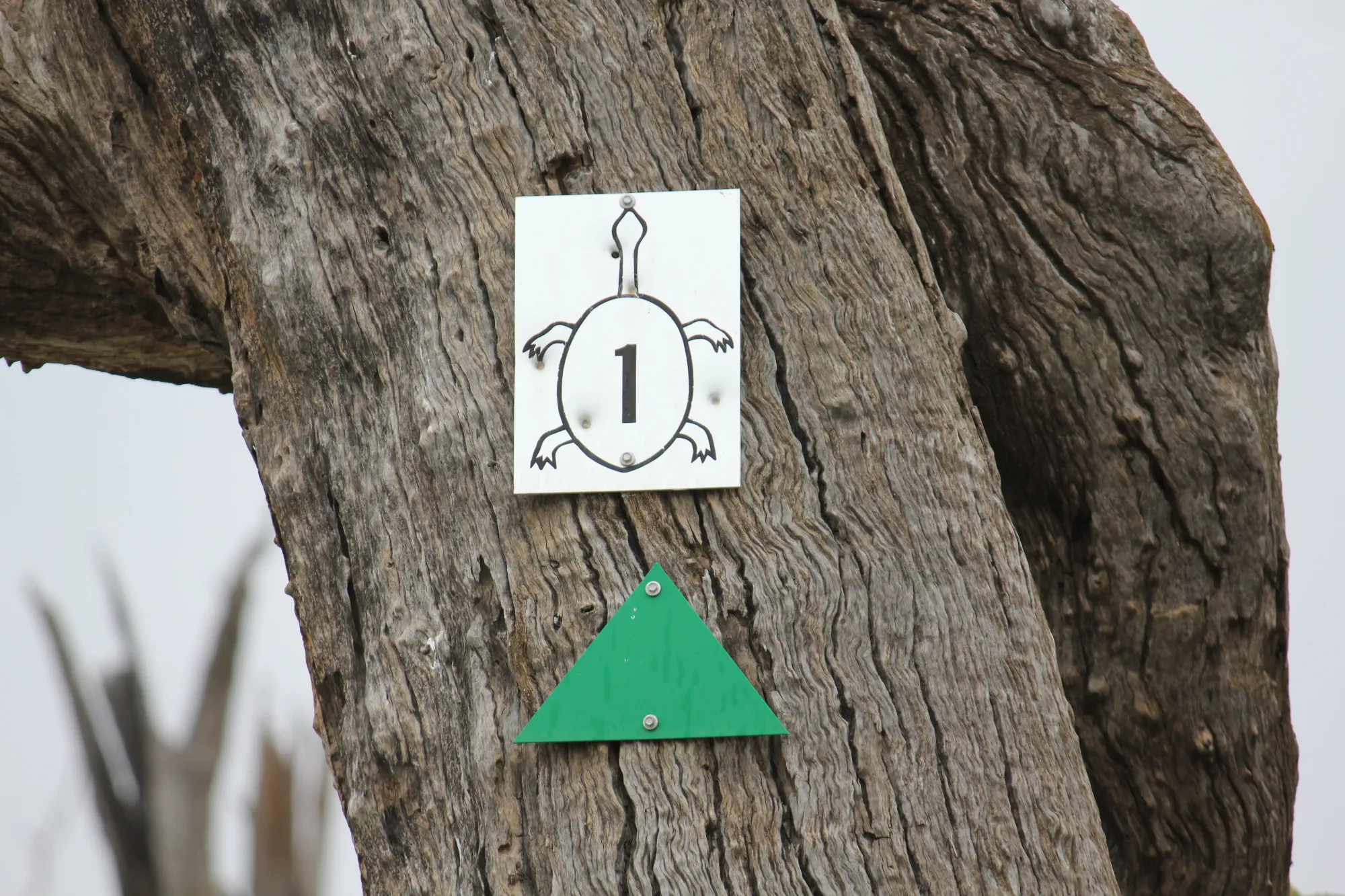
The trail begins at the Kingston-on-Murray Caravan Park, where canoe hire is also available. From the put-in, paddlers head upstream (right) along the Murray for 1.8 km before turning into Hawker/Chambers Creek behind Thurk Island. The creek weaves for about 600 m before dividing — red squares and green triangles on dead trees mark the Chambers Creek route toward Lake Bonney; blue signs on trees lead only to Nockburra Creek and should be avoided if staying on the main loop.
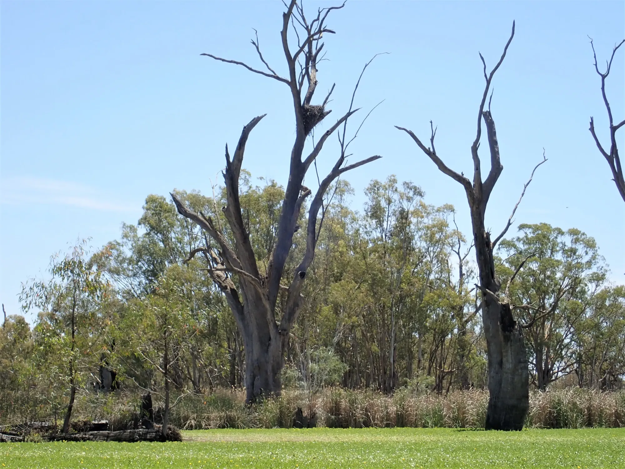
Navigation is genuinely part of the adventure here. Many dead ends are blocked by reeds, and some older markers are missing. However the area is compact and the elevated Sturt Highway causeway remains visible from most parts of the system as a reliable reference. A large eagle’s nest at Point A is clearly visible across the floodplain and is the primary navigation landmark in the creek system.

Paddle SA is the governing body of paddle sport and recreation in South Australia. It leads and supports paddling in South Australia and encourages the safe exploration of our waterways.
Paddling Trails South Australia has a range of trails to suit different abilities. Know your ability.
🌐 paddlesa.au →Launch Sites & Route
The main launch is the Kingston-on-Murray Caravan Park jetty on the Murray River. An alternative launch at Shueard Road (Chambers Creek Launch) is also accessible and useful for paddlers wanting shorter trips within the creek system only.
| Site | Location | Notes |
|---|---|---|
| Kingston-on-Murray Caravan Park | Murray River jetty and boat ramp. GPS: 34.2199°S, 140.3527°E. Full caravan park facilities including toilets and showers. Canoe hire available on-site. Paddle upstream (right) 1.8 km to the Hawker/Chambers Creek entrance behind Thurk Island. | |
| Chambers Creek Launch — Shueard Road | No facilities at this launch. GPS: 34.2233°S, 140.3770°E. Situated opposite the Sugarloaf Hill Campsite. Some old tortoise-symbol canoe trail signs survive nearby — do not rely on these, use the red squares and green triangles. |
Route Description
- Leg 1 — Murray River to Chambers Creek entrance (1.8 km): From the caravan park jetty, paddle upstream (right) along the Murray for 1.8 km. Behind Thurk Island you will find the entrance to Hawker/Chambers Creek, clearly marked with a sign directing paddlers toward Chambers Creek, Lake Bonney, and Barmera.
- Leg 2 — Creek junction and main loop (approx. 4–6 km): The creek weaves for about 600 m then divides. Follow red squares and green triangles on dead trees for Chambers Creek (south-easterly direction). Avoid blue signs which lead only to Nockburra Creek. Navigate east approximately 1 km to the Eagle’s Nest at Point A, continue to the Shueard Road launch narrows, then paddle the broad loop around the small islands.
- Optional extension — Lake Bonney and Barmera (+8 km return): At Point B you will find the remains of an old bridge. From here Chambers Creek continues south-east to Lake Bonney and on to Barmera. The full distance from Kingston-on-Murray to Barmera is 17 km on water.
- Return leg: Keep to your left as you pass through the narrows past the Shueard Road launch. There are some reeds to navigate but this is a picturesque route back to the Eagle’s Nest tree, and then downstream to the caravan park.
Points of Interest
- A Eagle’s Nest Landmark Tree (GPS: 34.2165°S, 140.3713°E) — A large eagle’s nest sits high in a dead river red gum and is clearly visible across the floodplain. This is the primary navigation reference when paddlers feel disoriented in the creek maze. Whistling kites also nest in the hollows of surrounding dead gums.
- › Sugarloaf Hill & Narrows — The colourful sandstone cliffs of Sugarloaf Hill are a visual highlight of the middle section. The Shueard Road alternative launch sits opposite the campsite at the narrows. Some old tortoise-symbol canoe trail markers survive nearby but should not be relied upon.
- B Old Bridge Remains — Lake Bonney Junction (GPS: 34.2248°S, 140.3948°E) — The remains of an old bridge mark where Chambers Creek continues south-east to Lake Bonney and Barmera. This is the turnaround point for the standard loop and the start of the optional extension.
- › Canoe Trees — Scars from bark cut to make canoes by First Nations peoples can be spotted on river red gums along the creek banks. These are significant cultural heritage features — please do not touch or disturb them.
- › Thurk Island — Located in the Murray River directly opposite the entrance to Hawker/Chambers Creek. The island is full of interesting inlets and is a haven for birdlife — worth exploring on the way in or out.
Environment & Wildlife
The Loch Luna and Moorook Game Reserves protect a RAMSAR-recognised wetland system of national ecological significance. The floodplain vegetation is dominated by river red gums and river box with an understorey of lignum, grasses, and sedges. Dense stands of bulrush and reeds border the permanent waterways. Samphire grows on the low-lying salt-affected soils.
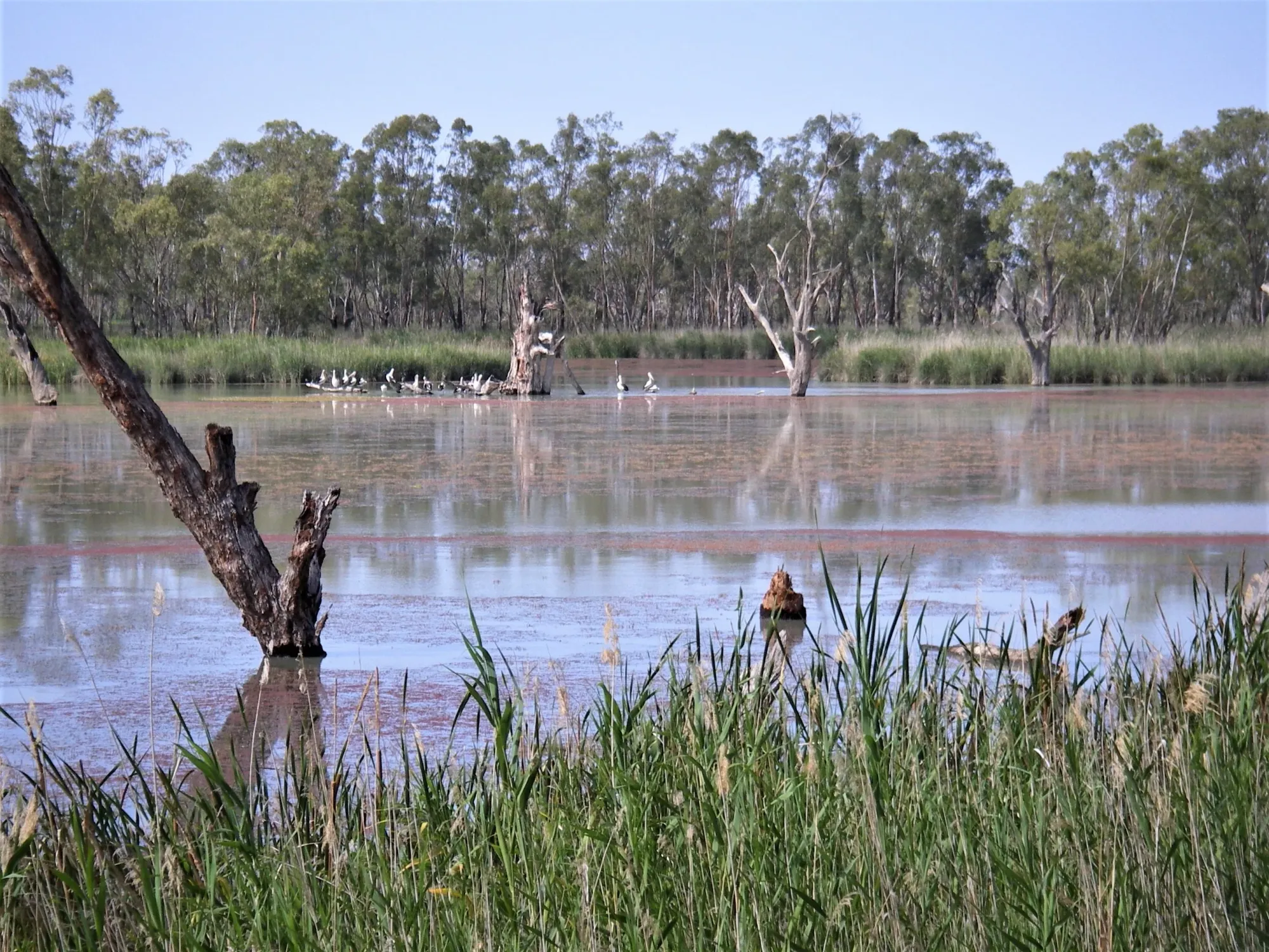
These wetlands are important nesting habitat for numerous waterbird species, particularly during flood periods. Commonly seen species include great cormorants, darters, black swans, pelicans, whistling kites, and reed warblers. With luck, regent parrots may also be spotted. The wetlands are important tortoise nesting habitat. Many towering dead river red gums — killed when water levels were artificially raised following construction of Lock 3 in 1925 — create dramatic silhouettes at sunrise and sunset, and their hollows shelter an abundance of birds.
Safety & Weather
Always check weather and wind conditions before setting out. The BOM forecast for Kingston-on-Murray is the most relevant source for this trail. This is a remote location 216 km from Adelaide. Mobile reception may be limited within the creek system. Tell someone your float plan before launching. The nearest hospital is Waikerie Health Service, approximately 45 km away.
Trail Gallery
7 photos