


 https://canoeadventure.com.au/
Canoe Adventures Riverland hire and deliver kayaks in this area.
www.facebook.com/
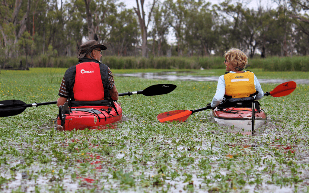
 Paddle SA is the governing body of paddle sport and recreation in South Australia. It leads and supports paddling in South Australia and encourages the safe exploration of our waterways.
Paddling Trail South Australia has a range of Paddling Trails to suit different abilities.
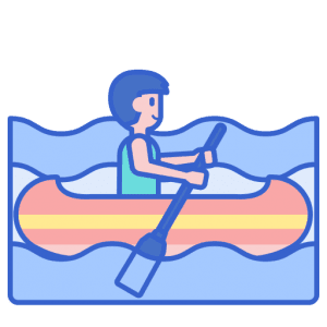
Know your ability.
Paddle SA is the governing body of paddle sport and recreation in South Australia. It leads and supports paddling in South Australia and encourages the safe exploration of our waterways.
Paddling Trail South Australia has a range of Paddling Trails to suit different abilities.
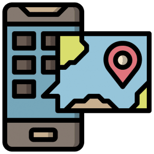
Know your ability.  If you have a smartphone or tablet you can download the free Avenza PDF Map app and have interactive paddling trail maps on hand when you need them. The app uses your device’s built-in GPS to plot your real-time location within the park onto a map. The app can be used without a network connection and without roaming charges. You can also measure area and distance, plot photos, and drop Placemark pins.
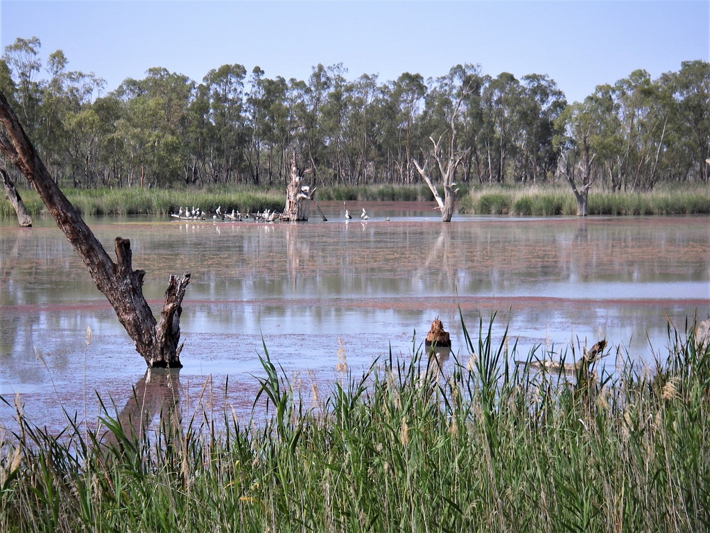
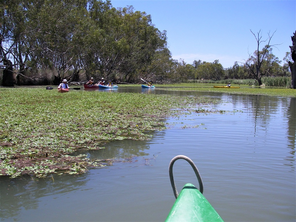
This area is quite a tangled mass of waterways. There are old markers to mark canoe trails, but many are confusing as some of the routes are now blocked by reeds and weeds.
However, the paddle area for this trail is relatively small and reference is easily made to the highway which is elevated and clearly visible from many parts of the system.
Trail description from Shueard Road Launch point
If launching from the Shueard Road launch point then head due west approximately 1.5km, keeping to the RHS and you will soon see the Eagle Nest.
The large eagle nest can be seen in a tree at Point A (GPS 32.2166 S 140.3716 E) which is clearly visible for some distance and can be used as a reference point if lost.
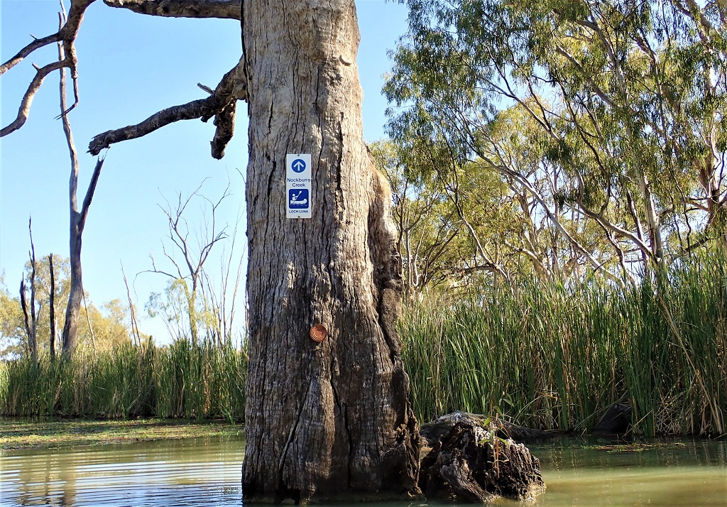
There are two entrances to Nockburra Creek and both are clearly marked by blue signs on trees.
Both arms of the Nockburra Creek join again about 0.5km north of this point. Follow the creek a further kilometer and you will enter Loch Luna.
Turn left, and you will be back on the Murray River after about 1.25km and you should see Lock 3 ahead of you. You could return to your launch site from this point; however, it is more interesting to go back to where the creek enters Loch Luna and return by a different route.
Go back about 1.5km staying in Nockburra Creek, taking care to avoid the lake on the left as it is impassable further on, blocked by reeds.
Turn left at Point B (GPS 34.2055 S 140.3746 E) and you can follow this waterway back to the Chambers Creek area. The eagle nest tree will be clearly visible ahead of you.
From here you can return to the canoe launch site by traveling back the same way you came.
Trail description from Kingston-on-Murray Caravan Park
The trail starts at Kingston-on-Murray Caravan Park. Turn right and travel upstream for 1.8km. Behind Thurk Island you will find the entrance to Hawker/ Chambers Creek, it is clearly marked with a sign with directions to Chambers Creek and on to Lake Bonney and Barmera.
This creek weaves for about 600m and then divides. Nockburra Creek goes due north and Chambers Creek goes in a south-easterly direction.
The directions to Chambers Creek are clearly marked with pink tassels tied to various trees and stumps and an old big broad arrow on a tree.
The large eagle nest can be seen in a tree at Point A (GPS 32.2166 S 140.3716 E) which is clearly visible for some distance and can be used as a reference point if lost.
There are two entrances to Nockburra Creek and both are clearly marked by blue signs on trees.
Both arms of the Nockburra Creek join again about 0.5km north of this point. Follow the creek a further kilometer and you will enter Loch Luna.
Turn left and you will be back on the Murray River after about 1.25km and you should see Lock 3 ahead of you. You could return to your launch site from this point however it is more interesting to go back to where the creek enters Loch Luna and return by a different route.
Go back about 1.5km staying in Nockburra Creek, taking care to avoid the lake on the left as it is impassable further on, blocked by reeds.
Turn left at Point B (GPS 34.2055 S 140.3746 E) and you can follow this waterway back to the Chambers Creek area. The eagle nest tree will be clearly visible ahead of you.
Go to the tree, turn right and you will be back in Nockburra Creek. From here you can go back to Caravan park.
![]()
![]()
![]()
![]()
![]()
![]()
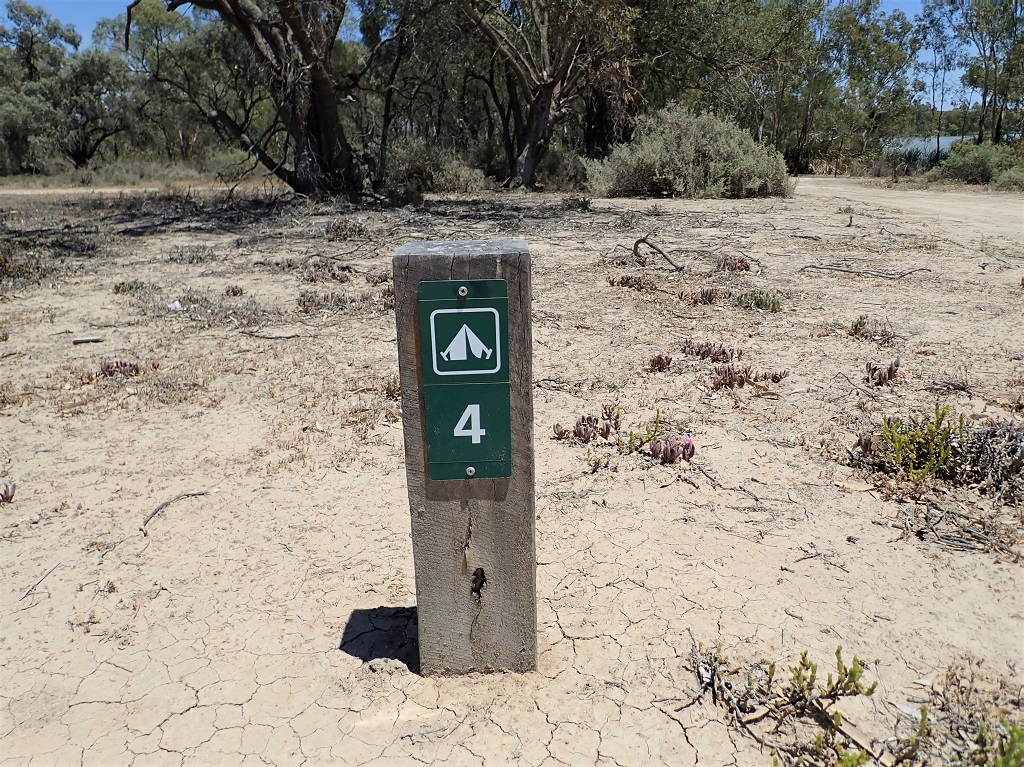
No Facilities at the Chambers Creek canoe launch site.
Full facilities at the Kingston-on-Murray Caravan Park
