Swan Alley Creek – Garden Island
A circular paddle into the mangrove heart of Barker Inlet — winding tidal creeks, abundant birdlife, and dolphins in a protected sanctuary.
- Distance
- 9–10 km loop
- Difficulty
- Easy–Moderate
- Trail type
- Circular / Loop
- From Adelaide
- 14 km north-west
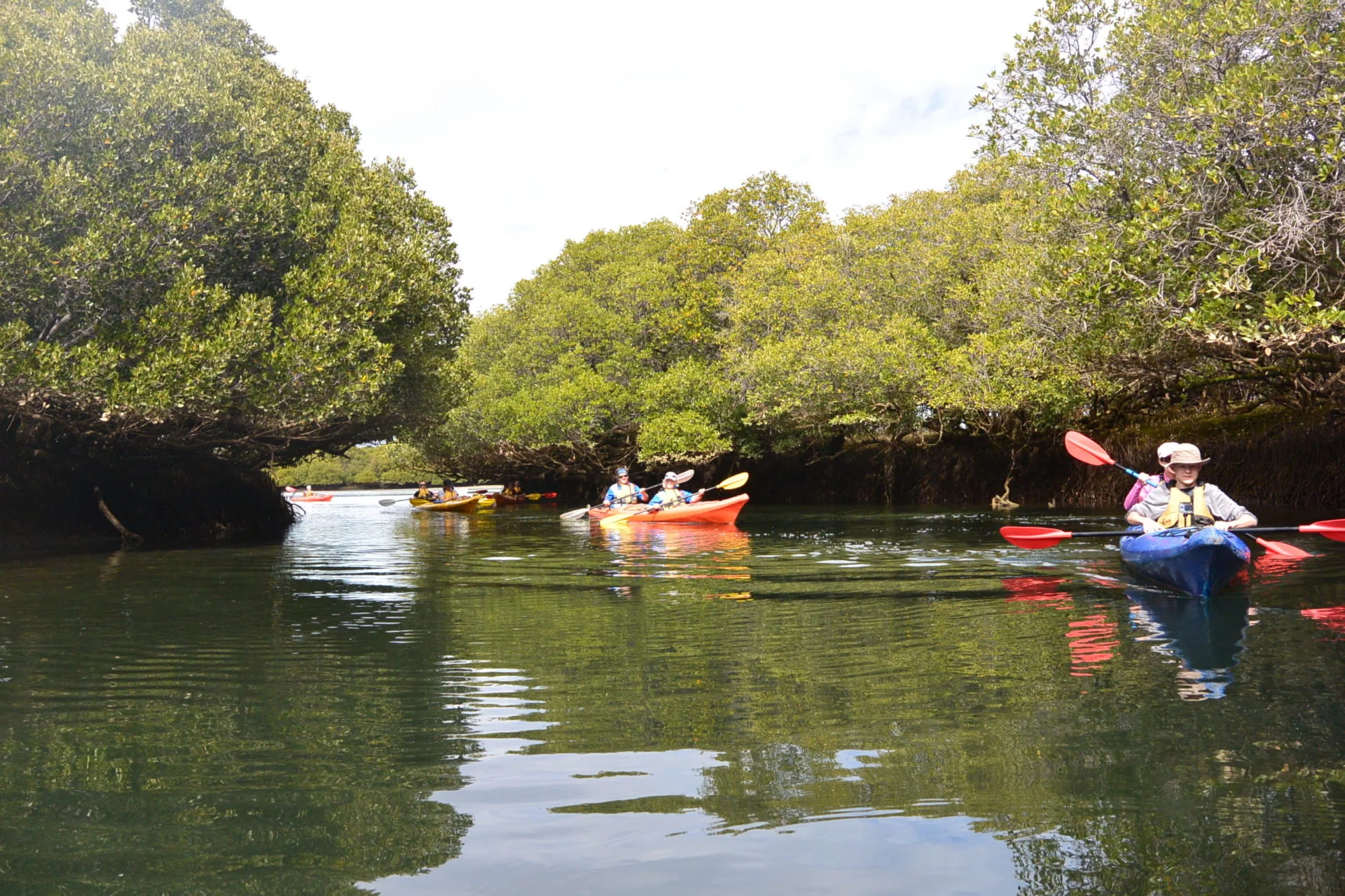
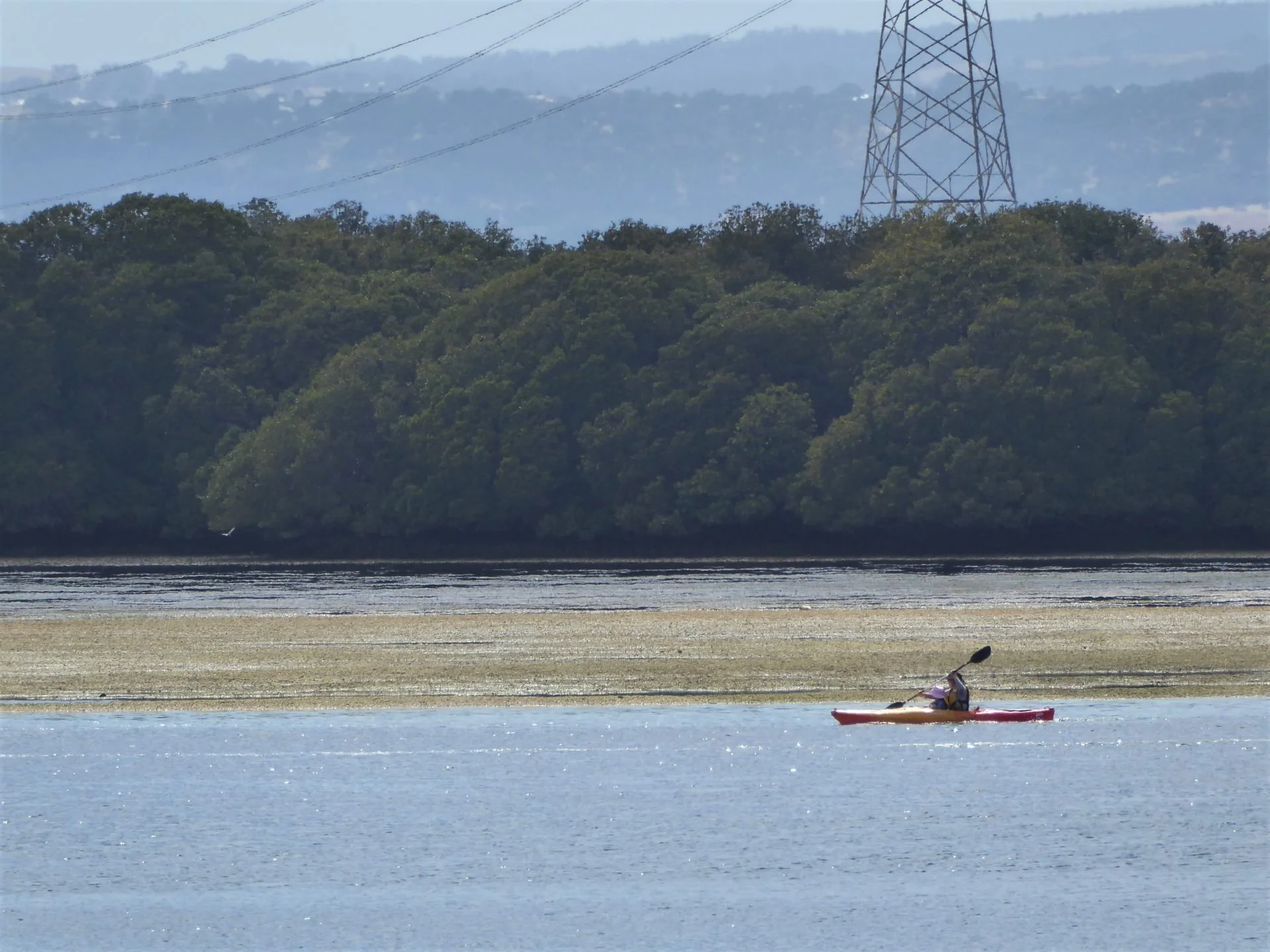
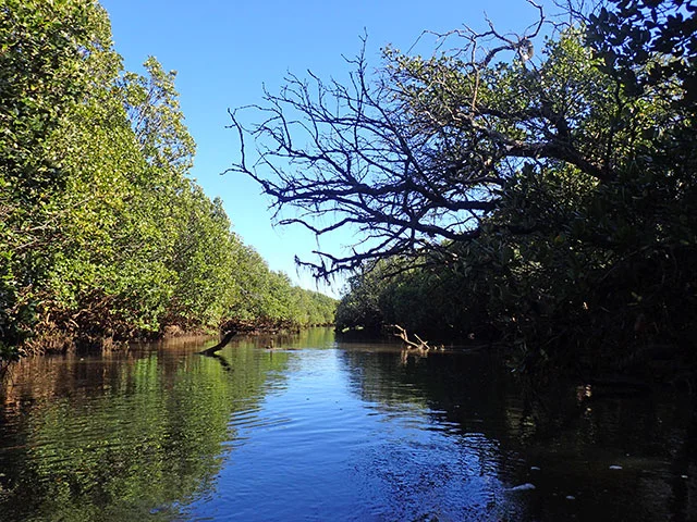
Swan Alley Creek — Garden Island takes you from the Port River into one of the most rewarding mangrove paddling environments near Adelaide. Launching from the well-equipped Garden Island Boat Ramp, the circular route weaves through tidal creeks that meander deep into the mangrove forest on the eastern side of Barker Inlet, with a genuine chance of encountering the resident dolphins of the Adelaide Dolphin Sanctuary along the way.
About This Trail
Garden Island, in the North Arm of the Port River, is the gateway to Swan Alley Creek — one of a number of tidal creeks that branch into the mangrove forest on the eastern side of Barker Inlet. The route is circular, returning to the Garden Island Boat Ramp after approximately 9–10 km at a comfortable paddling pace.
The creek system is intersected by the channel alongside an embankment built in the late 1800s to reclaim land to the east, but abandoned some years later. That history has become invisible from the water, which feels surprisingly remote despite the proximity of suburban Adelaide. Swan Alley branches into a number of smaller creeks and side channels, rewarding paddlers who have the time and the right tide.
The full trail is approximately 19 km if all connecting creek arms are explored. The core Swan Alley Creek circuit sits at 9–10 km and suits a 2-hour to half-day paddle. Conditions are flatwater with tidal flow throughout. Paddlers must remain alert to and give way to large vessels at all times on the Port River section of the route.

Paddle SA is the governing body of paddle sport and recreation in South Australia. It leads and supports paddling in South Australia and encourages the safe exploration of our waterways.
Paddling Trails South Australia has a range of trails to suit different abilities. Know your ability.
🌐 paddlesa.au →Launch Site & Route
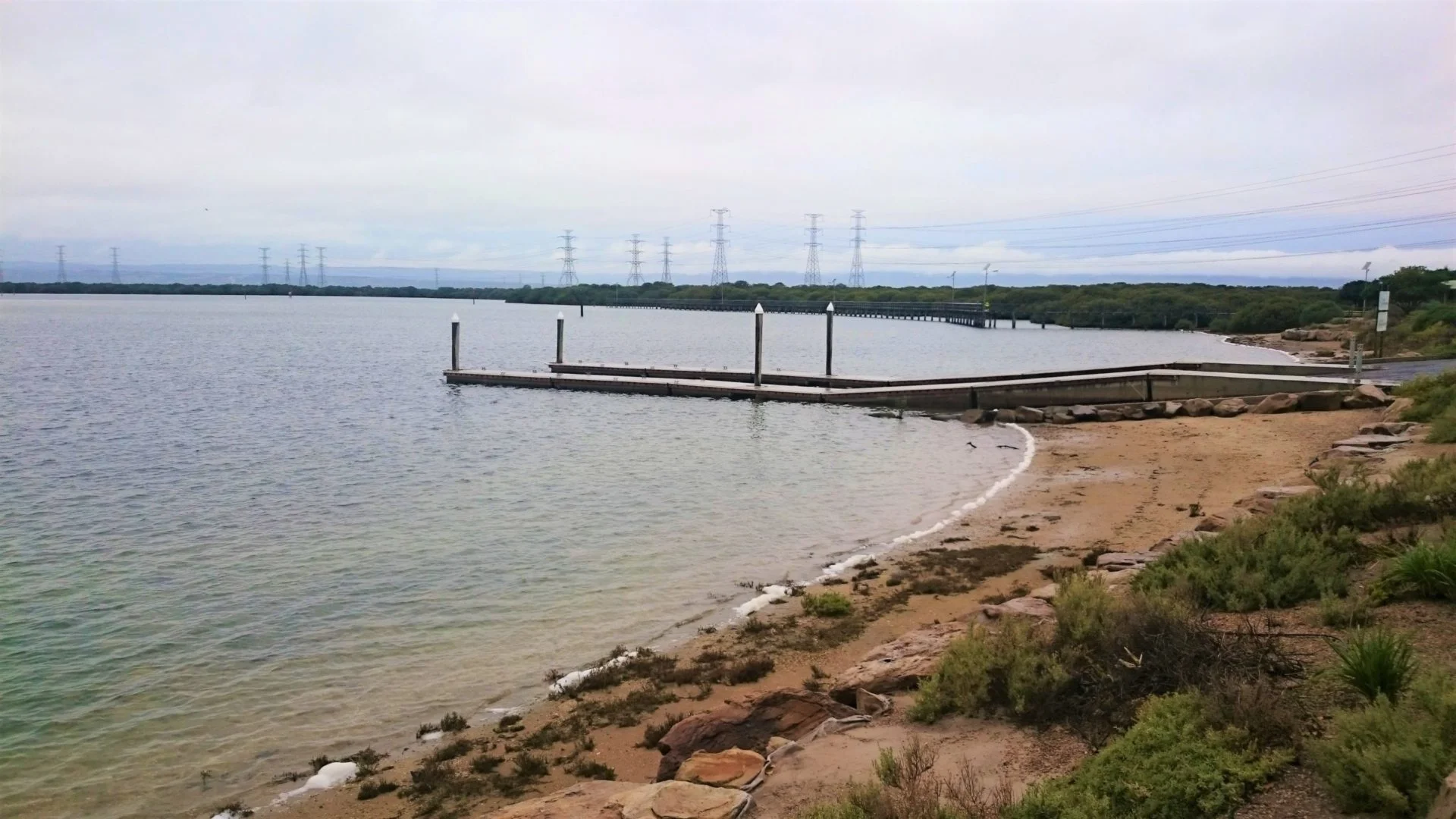
There is one primary launch site for this trail, with excellent facilities and ample parking directly at the water's edge.
| Site | Location | Notes |
|---|---|---|
| Garden Island Boat Ramp | GPS: -34.804162229691876, 138.53934328863616. Toilets, change rooms, BBQ, shady trees, picnic tables, grassy area. Extensive parking. |
Route Description
- Launch and head south: From Garden Island Boat Ramp, paddle around the southern end of Torrens Island. This area is shallow and dries out at low tide — ensure sufficient tide height before proceeding.
- Point A — Creek Entrance: Head north-northeast to locate the entrance to Swan Alley Creek. At low tide keep slightly west of the direct track and look for the channel in the shallows.
- Point B — Creek Junction: About 1 km from the entrance the creek branches in four directions — explore as far as tide and time allow. See Points of Interest below for full branch details.
- Return to Garden Island: Retrace the main channel south and around the point back to the boat ramp to complete the loop.
Points of Interest
- A Swan Alley Creek Entrance — GPS: 34.7923 S; 138.5513 E. The gateway to the mangrove creek system. At low tide approach from slightly west of the direct track and watch for the channel in the shallows. A sandbar ~300 m inside on the southern side is often the only landing spot for a rest.
- B Creek Junction — GPS: 34.7924 S; 138.5618 E 📍 Map. About 1 km from the entrance Swan Alley branches in four directions: the first right (easterly) is the Swan Alley continuation, navigable to the trotting track at high tide; the second right is the Little Para River outfall (short distance only); the third right (north-easterly) is Shooting Creek, navigable some distance at high tide; the last branch (north-westerly) leads to the embankment channel and Burrows Creek except at low tide.
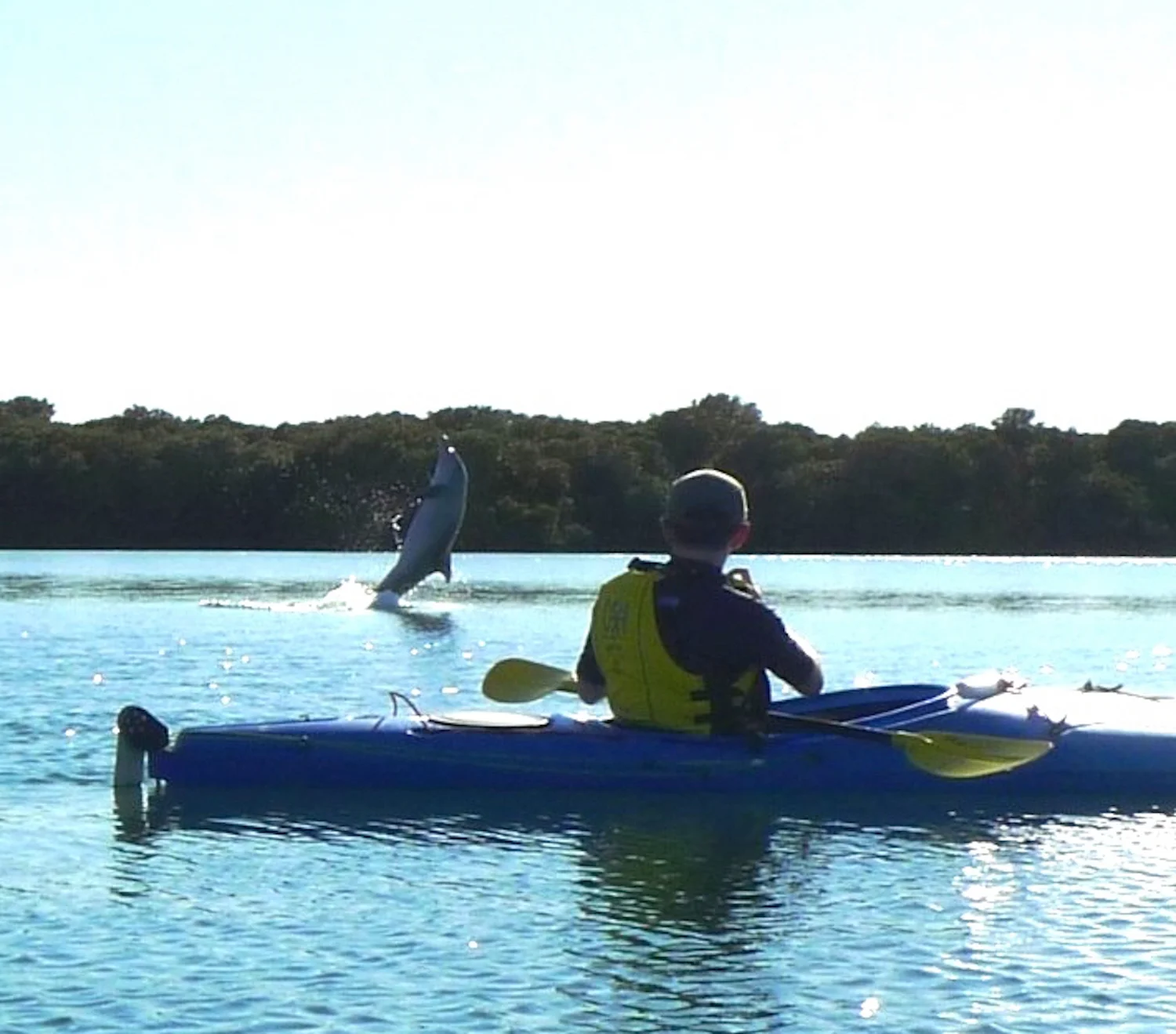
- C Adelaide Dolphin Sanctuary — the entire waterway lies within this marine protected area established in 2005. Resident Indo-Pacific bottlenose dolphins are frequently encountered. Maintain at least 50 m distance.
- D Australian Submarine Corporation (ASC) — the ASC Osborne facility on the Port River, visible from the water, has built Australia's Collins Class submarines since its opening in 1989. In 1987 it was awarded what was then the largest defence contract in Australian history.
- E Torrens Island Quarantine Station — built in 1879 as South Australia's first line of defence against diseases arriving by ship. No public access today, but the Port Adelaide Maritime Museum occasionally conducts tours.
Wildlife & Environment
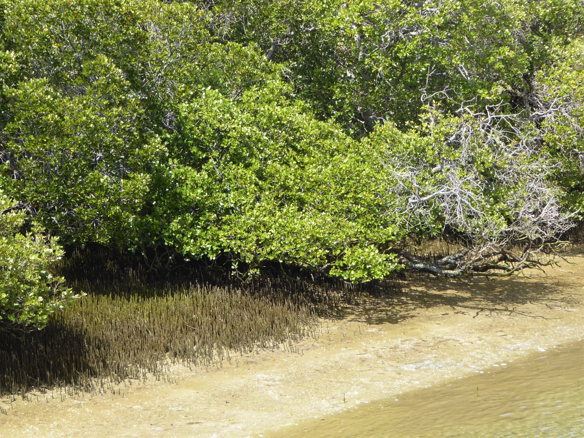
The mangrove creek system of Barker Inlet is one of Adelaide's most ecologically significant coastal habitats. The Grey Mangrove ( Avicennia marina) forest that lines Swan Alley Creek and its branches supports rich birdlife — herons, egrets, cormorants, ibis, spoonbills, and a wide range of migratory waders work the tidal flats and creek margins throughout the year.
The entire paddling area sits within the Adelaide Dolphin Sanctuary, protecting a resident population of Indo-Pacific bottlenose dolphins ( Tursiops aduncus). Encounters on this trail are frequent. Some of the resident dolphins have been individually identified and named — you can familiarise yourself with their unique markings before visiting.
History & Heritage
The embankment channel that intersects Swan Alley Creek is a remnant of a late-19th-century land reclamation scheme that was abandoned before completion. The floodplain reverted to mangrove and saltmarsh, preserving the tidal habitat that paddlers explore today.
Paddling back through the Port River section of the route, the ASC Osborne shipyard is visible on the western bank — a striking piece of living industrial heritage. Across the water, the Torrens Island Quarantine Station (1879) tells a pivotal story of colonial South Australia. Built to isolate arriving passengers suspected of carrying diseases such as smallpox, the station served as the colony's primary health border until the Commonwealth took over its administration in 1912. Many of the buildings date from after that time, with the site also housing German and Austrian detainees during World War I, and later serving as an Army facility.