


 Paddle SA is the governing body of paddle sport and recreation in South Australia. It leads and supports paddling in South Australia and encourages the safe exploration of our waterways.
Paddling Trail South Australia has a range of Paddling Trails to suit different abilities.
Know your ability.
Paddle SA is the governing body of paddle sport and recreation in South Australia. It leads and supports paddling in South Australia and encourages the safe exploration of our waterways.
Paddling Trail South Australia has a range of Paddling Trails to suit different abilities.
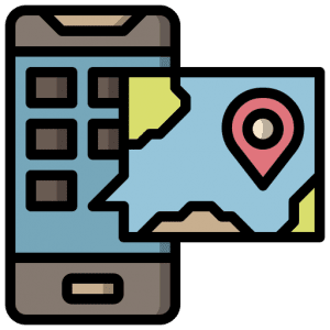
Know your ability.  If you have a smartphone or tablet you can download the free Avenza PDF Map app and have interactive paddling trail maps on hand when you need them. The app uses your device’s built-in GPS to plot your real-time location within the park onto a map. The app can be used without a network connection and without roaming charges. You can also measure area and distance, plot photos, and drop Placemark pins.
![]() Launch Sites:
Launch Sites:
Blanchetown Public Boat ramp GPS: 34.3583 S; 139.6215 E
Swan Reach public Boat ramp GPS: 34.5686 S; 139.5954 E
Public Boat ramps at either Blanchetown and Swan Reach (details on map)
Trail Points:
The trail starts at Blanchetown or Swan Reach (if you want to do the trip from Swan Reach be aware that you are travelling upstream in this direction)
NOTE: These notes will cover the trail paddling from north to south.
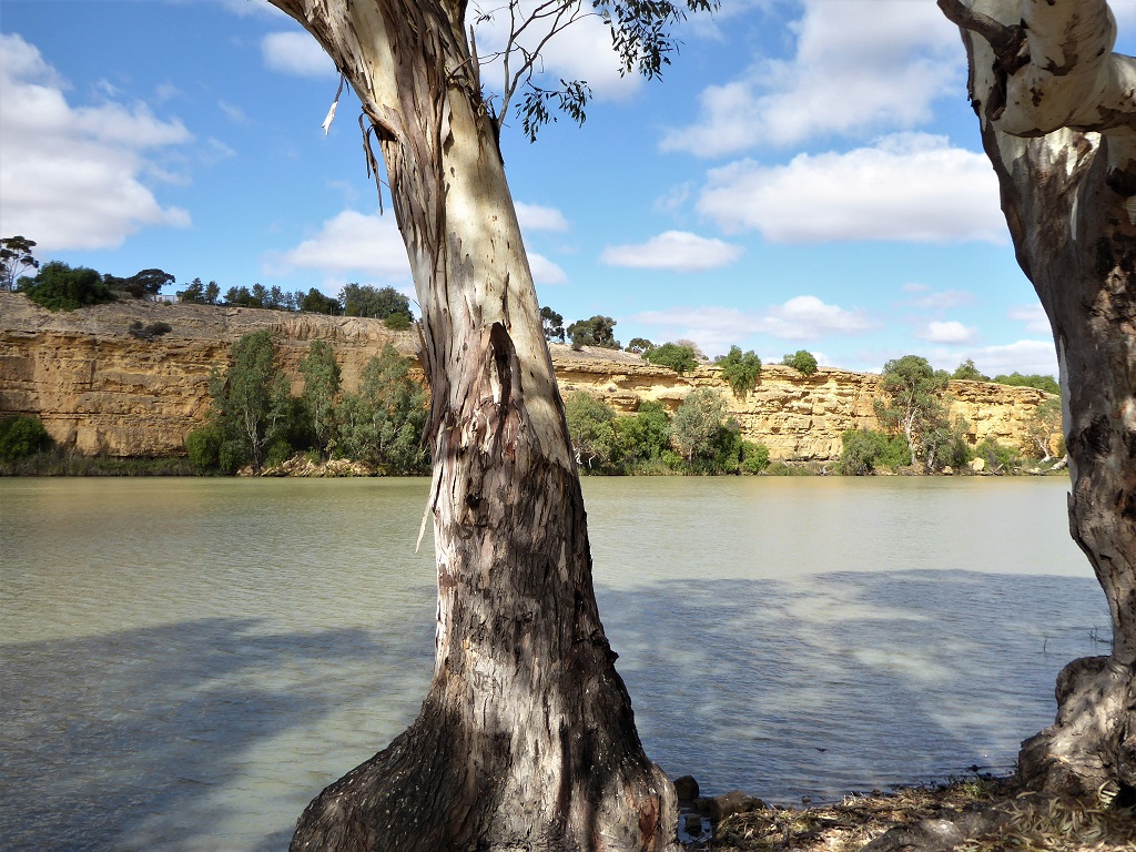
![]() The entrance to Moorunde creek is marked by the remains of a concrete weir readily seen from the river. (Point A) GPS: 34.3969 S; 139.6159 E
The entrance to Moorunde creek is marked by the remains of a concrete weir readily seen from the river. (Point A) GPS: 34.3969 S; 139.6159 E
There is a difficult portage near the entrance around two trees.
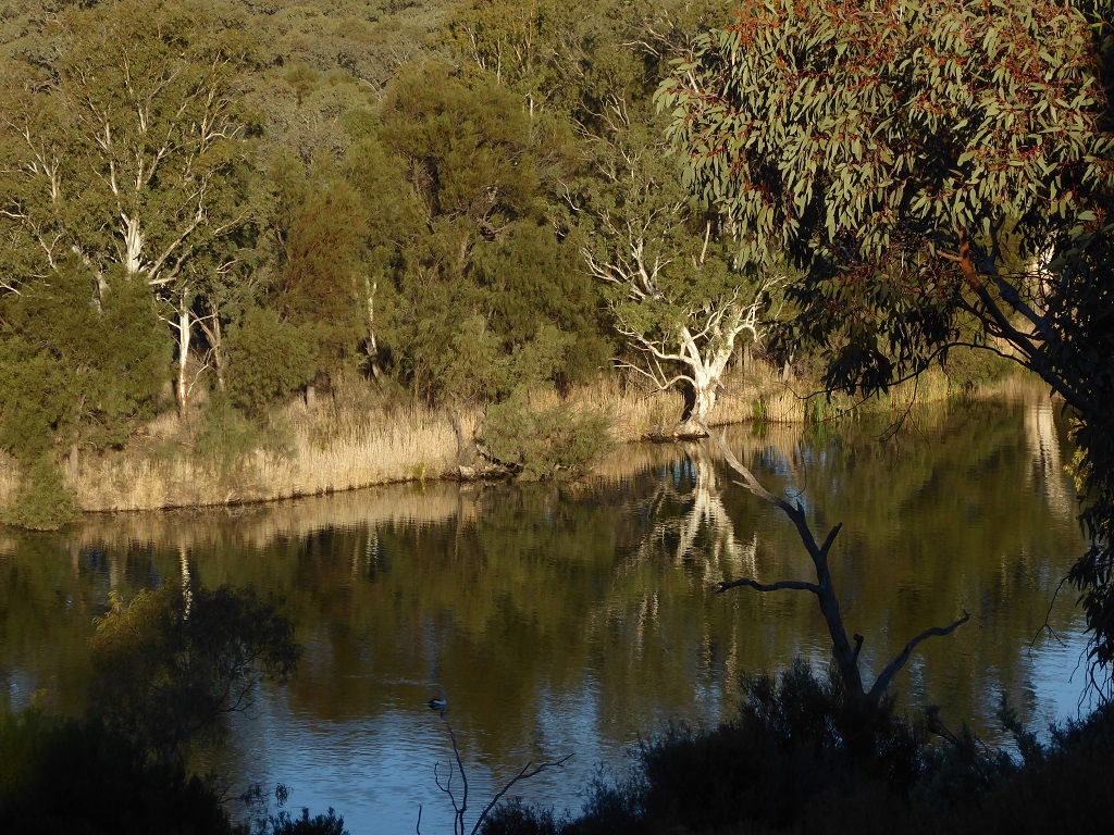
![]() Moorunde Creek runs into Portee creek after passing Portee homestead (BnB)
Moorunde Creek runs into Portee creek after passing Portee homestead (BnB)
There are four more portages after Portee homestead where tracks/roads cross the creek.
Camping is available at the Reserve at the end of Swan Reach/ Stockwell road beside the pumphouse, on the western side of the river just after the exit from Portee creek into the Murray river (Point B) GPS: 34.5054 S; 139.5698 E). This is an Ideal spot for an overnight stay – or a lunch break if the trip is to be done in one day.
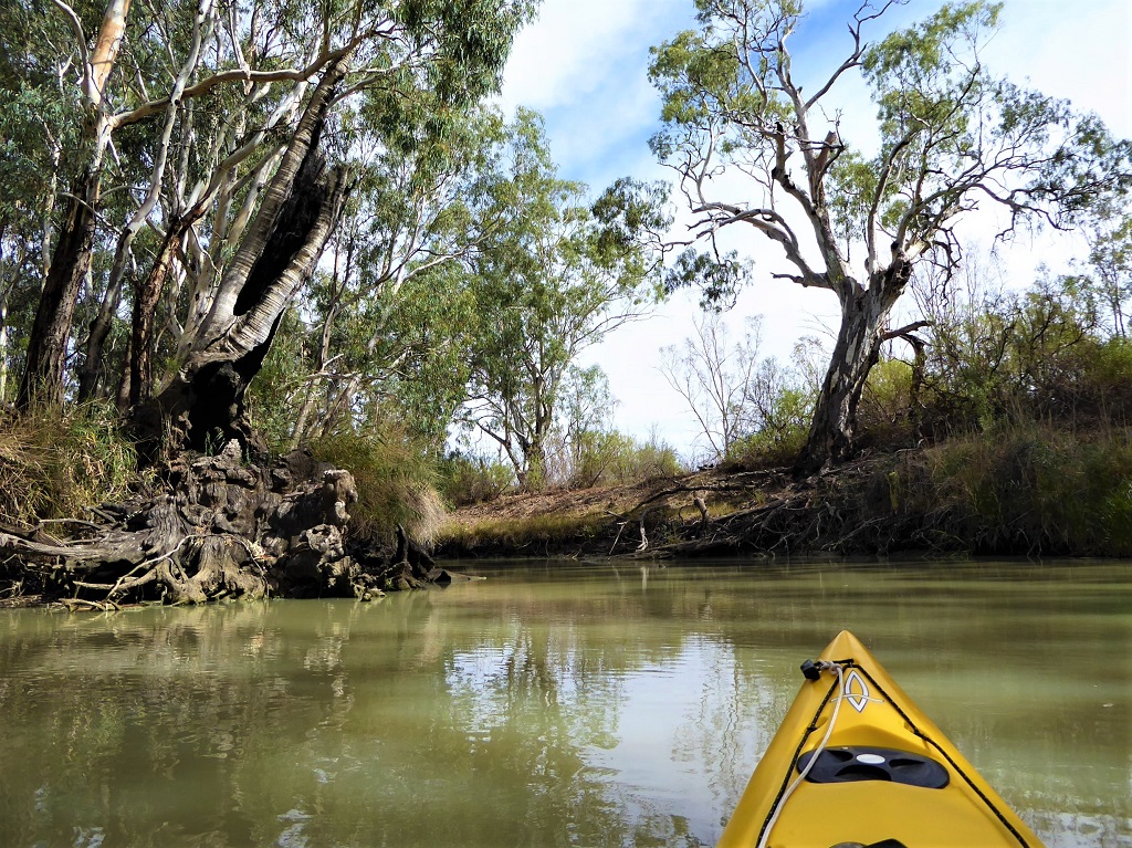
![]() Yacto creek entrance is about 700 m upstream for the exit of Portee creek into the Murray river at (Point C) GPS: 34.4988 S; 139.5834 E.
Yacto creek entrance is about 700 m upstream for the exit of Portee creek into the Murray river at (Point C) GPS: 34.4988 S; 139.5834 E.
There is a further portage across a bank near its exit back to the river and then it is only a short trip down stream to Swan Reach. Beware of the need to negotiate the river past the ferry crossing at Swan Reach which is just north of the boat ramp.
![]()
![]()
![]()
![]()
Full range of facilities (toilets, parking, picnic areas) available at both ends of this trail.
