Wongulla Walker Flat Loop Trail
A moderate loop through the sheltered lagoons and floodplain backwaters between Wongulla and Walker Flat — ochre cliffs, ancient Aboriginal heritage, and floodplains teeming with birdlife just 131 km from Adelaide.
- Distance
- 16 km loop
- Difficulty
- Moderate
- From Adelaide
- 131 km north-east
The Wongulla Walker Flat Loop Trail winds through the sheltered backwaters of Wongulla and Manuka lagoons before emerging at the dramatic ochre cliffs of Walker Flat — one of the most spectacular stretches on the entire Murray River. The trail is rated moderate due to portages along the way, and can be tackled from either end in either direction.
About This Trail
The trail passes through Wongulla Lagoon and Manuka Lagoon — sheltered floodplain backwaters teeming with birdlife — before reaching Walker Flat and returning to the launch site via the Murray River main channel. A short portage is required at Point B (Manuka Lagoon entry). The trail can be started from either Wongulla or Walker Flat and paddled in either direction.
An optional Lake Bywaters extension adds approximately 3 km to the journey — the entry point is visible at Point C. This area can be busy with ferry activity and visitors during holiday periods. The Wongulla launch is more convenient for paddlers than the Walker Flat launch.

Paddle SA is the governing body of paddle sport and recreation in South Australia. It leads and supports paddling in South Australia and encourages the safe exploration of our waterways.
Paddling Trails South Australia has a range of trails to suit different abilities. Know your ability.
🌐 paddlesa.au →Launch Sites & Route
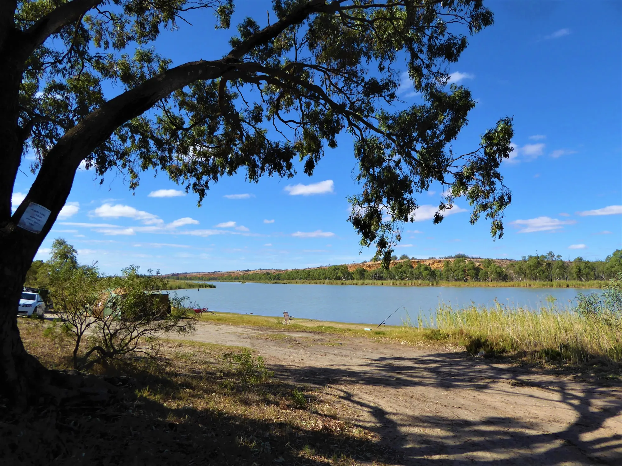
There are two launch options. Wongulla Foreshore Reserve is the recommended starting point as its launch facilities are more convenient for paddlers. Walker Flat can be busy with ferry activity and visitor traffic during holidays. The trail can be completed in either direction — clockwise (Wongulla lagoons first) or anti-clockwise (river first).
| Site | Location | Notes |
|---|---|---|
| Wongulla Foreshore Reserve | GPS: 34.7081 S; 139.5724 E. Camping on site. Toilets at boat ramp. Parking at campsite. | |
| Walker Flat | GPS: 34.7546 S; 139.5688 E. Full facilities including shops and campground. Can be busy with ferry traffic during holiday periods. |
Route Description
From the Wongulla Foreshore Reserve boat ramp, paddle downstream (south) along the Murray River approximately 3.5 km. Point A (GPS: 34.7289 S; 139.5458 E) marks the entry into Wongulla Lagoon from the main river channel. Turn here to enter the lagoon backwaters.
Paddle through Wongulla Lagoon to Point B (GPS: 34.7444 S; 139.5435 E). A short portage is required here to enter Manuka Lagoon. After the portage, continue paddling through the sheltered lagoon backwaters toward Walker Flat.
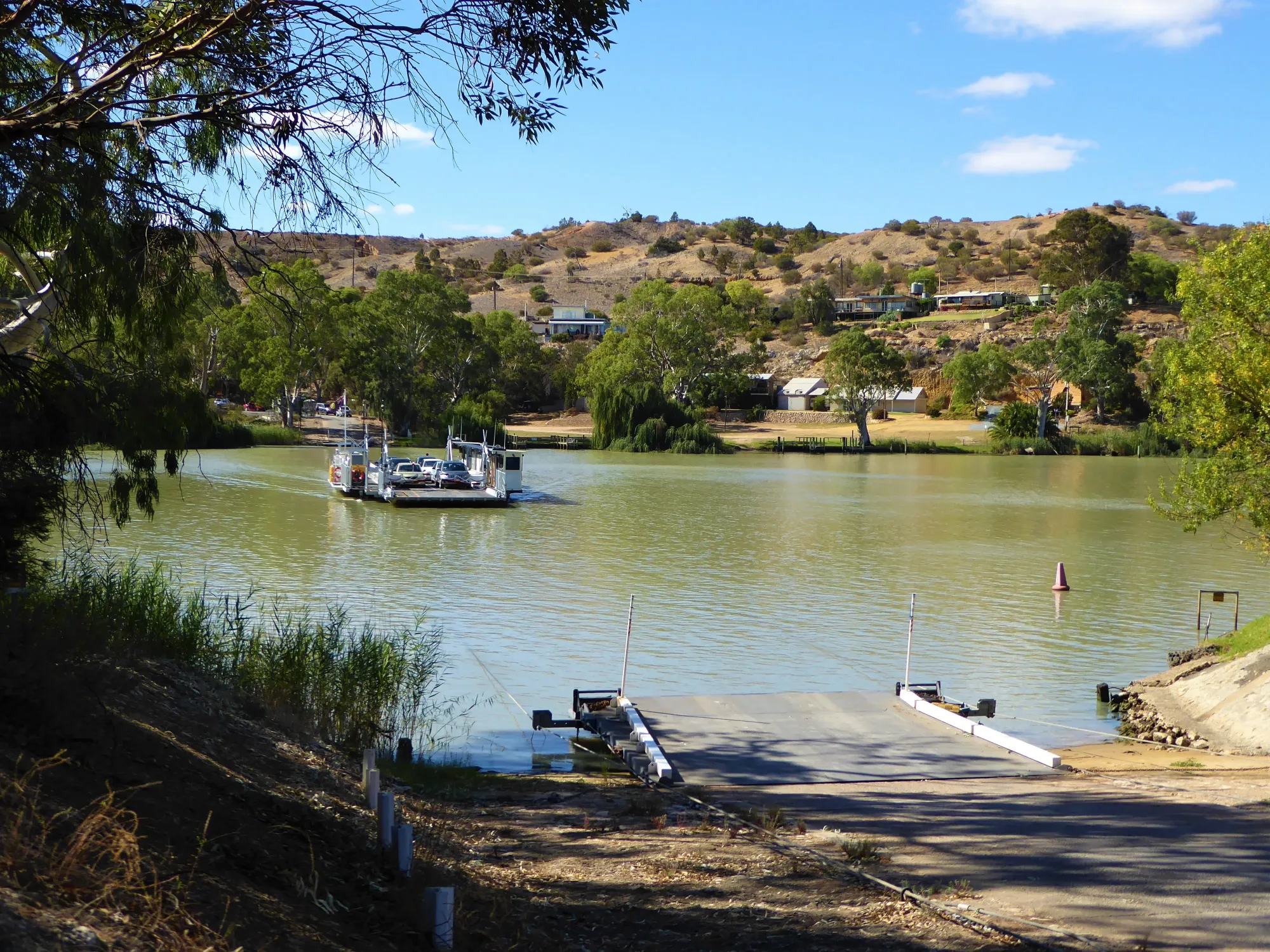
Continue through Manuka Lagoon and the backwaters to Walker Flat (GPS: 34.7546 S; 139.5688 E). Walker Flat has a boat ramp, free 24-hour ferry, general store, and various accommodation options — an ideal lunch stop. The ochre-coloured cliffs and superb lookout above the town are a highlight of the trail.
The trip can be extended by approximately 3 km by paddling into Lake Bywaters. The point of entry is at Point C (GPS: 34.7514 S; 139.5591 E) — look for the entry point as you approach Walker Flat.
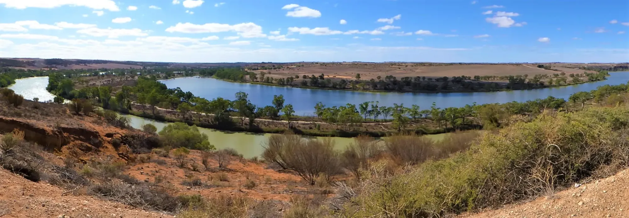
The return trip is via the Murray River main channel — paddle north upstream from Walker Flat back to the Wongulla Foreshore Reserve launch. This section passes beneath the striking ochre-coloured cliffs and provides excellent views of the river scenery in the opposite direction.
Ngaiawang Country
The Wongulla and Walker Flat area lies at the southern boundary of Ngaiawang (also Ngayawang) Country. The Ngaiawang people were the Traditional Custodians of this stretch of the Murray River, occupying approximately 6,200 km² of territory ranging from the North West Bend (Morgan) south to around Devon Downs, just north of Wongulla. The Marne River, which flows into the Murray at Wongulla, formed an important access route through Peramangk Country in the Mount Lofty Ranges to the river itself.
The Wongulla/Walker Flat area is of exceptional significance to Australian archaeology. Devon Downs (Kroehens Landing, just north of Wongulla on the eastern bank) and Fromms Landing (just south of Walker Flat) are both now protected Aboriginal Heritage Sites. Devon Downs was the first site of major archaeological excavation and study in Australia — excavated in 1929 by Norman Tindale of the South Australian Museum. Using freshwater mussel samples, the cave was dated to 5,000 years before present, confirming continuous Aboriginal occupation of the Murray River for thousands of years. Stone pirri points and other artefacts were also discovered in the layers of sand beneath the middens.
Paddling Trails South Australia acknowledges the Ngaiawang people as Traditional Custodians of the lands and waters along this trail, and pays respect to Elders past, present and emerging.
Wongulla & Walker Flat
Wongulla is a delight to drive to — the road descends spectacularly into the Murray floodplain, with a stunning lookout at Maynards Lookout near Aruma on the way in. The drive winds through backwaters and floodplains surrounding the town, all teeming with birdlife. Wongulla is home to many river shacks and holiday homes, with a boat ramp, picnic spot, and public toilets at the foreshore reserve. It also features on the Mid Murray Self Drive Eco Tour.
Walker Flat is one of the most spectacular spots on the entire Murray River. The tall, ochre-coloured limestone cliffs loom over the water and a superb lookout offers sweeping river views. Facilities include a boat ramp, a free 24-hour ferry across the Murray, a general store, and various accommodation options. Walker Flat is also a popular mooring spot for houseboats, whose passengers gather at dusk to enjoy the iridescent sunsets over the dramatic cliff faces.
The Marne River — which flows into the Murray at Wongulla — was known as the Rhine River South until 1917, when it was renamed after the Battle of the Marne in France due to anti-German sentiment during the First World War.
Wildlife & Environment
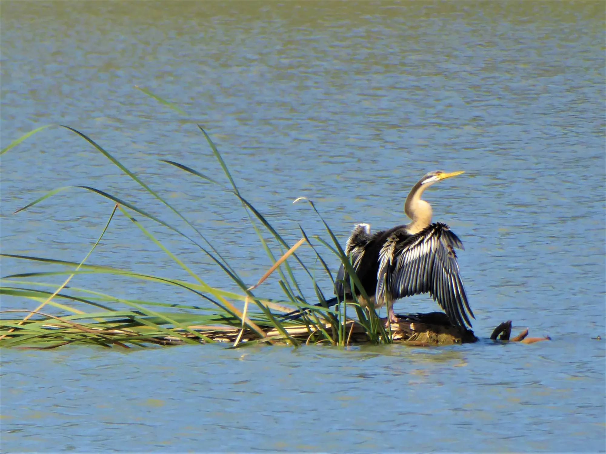
The floodplain lagoons and backwaters along this trail are exceptional birdwatching habitat. The sheltered waters of Wongulla and Manuka lagoons support pelicans, royal spoonbills, great egrets, herons, cormorants, and an abundance of duck species. Pied butcherbirds are commonly heard in the river red gum woodland, and the cliffs above Walker Flat support nesting raptors.
Southern hairy-nosed wombats inhabit the dry mallee and limestone country around Wongulla and are sometimes spotted near the foreshore reserve at dawn and dusk. Eastern grey kangaroos and echidnas are also frequently seen along the river banks. The lagoon backwaters provide critical habitat for waterbirds nesting in the river red gum hollows, and the connection between the lagoons and the main river channel creates a diverse mosaic of aquatic habitats.
Trail Gallery
4 photos