Murbko Loop Trail
A 19 km return loop through two picturesque lagoons off the Murray near Blanchetown — Murbko Flat and Irwin Flat — with pelicans, whistling kites, cockatoos nesting in sandstone cliffs, and the ruins of the last post office on the river.
- Distance
- ~19 km return
- Difficulty
- Easy
- Trail type
- Return Loop
- From Adelaide
- 145 km north-east
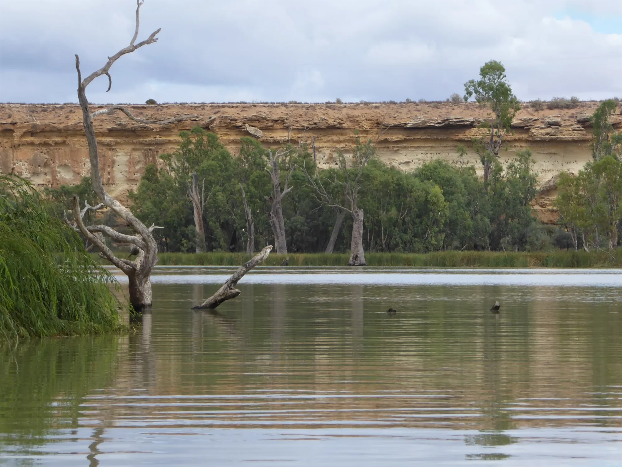
The Murbko Loop Trail is a 19 km return paddle through two quiet, wildlife-rich lagoons off the Murray River north of Blanchetown. Launching from Murbko, paddlers venture into Murbko Flat lagoon and Irwin Flat lagoon via short portages, before returning to the launch site along the river. The trail is rated easy, with the portages of about 250 m each manageable for most paddlers — or avoidable entirely by staying on the river. Pelicans, whistling kites and cockatoos nesting in the sandstone cliffs are constant companions, and at the southern end of Irwin Flat lies the atmospheric ruin of the last post office ever to operate on the Murray River.
About This Trail
This is a return loop trail beginning and ending at the Murbko launch site. From the launch, paddlers travel downstream along the Murray, entering the lagoons via portages at their northern ends before exiting at the southern end and returning upstream along the river.
The loop can be completed in either direction. Both lagoon portages can be avoided entirely by continuing downstream on the Murray and entering the lagoons from their southern ends instead. The trail can also be extended to include the McBeans Pound Northern Loop for a longer day.

Paddle SA is the governing body of paddle sport and recreation in South Australia. It leads and supports paddling in South Australia and encourages the safe exploration of our waterways.
Paddling Trails South Australia has a range of trails to suit different abilities. Know your ability.
🌐 paddlesa.au →Launch Site & Route
| Site | Location | Notes |
|---|---|---|
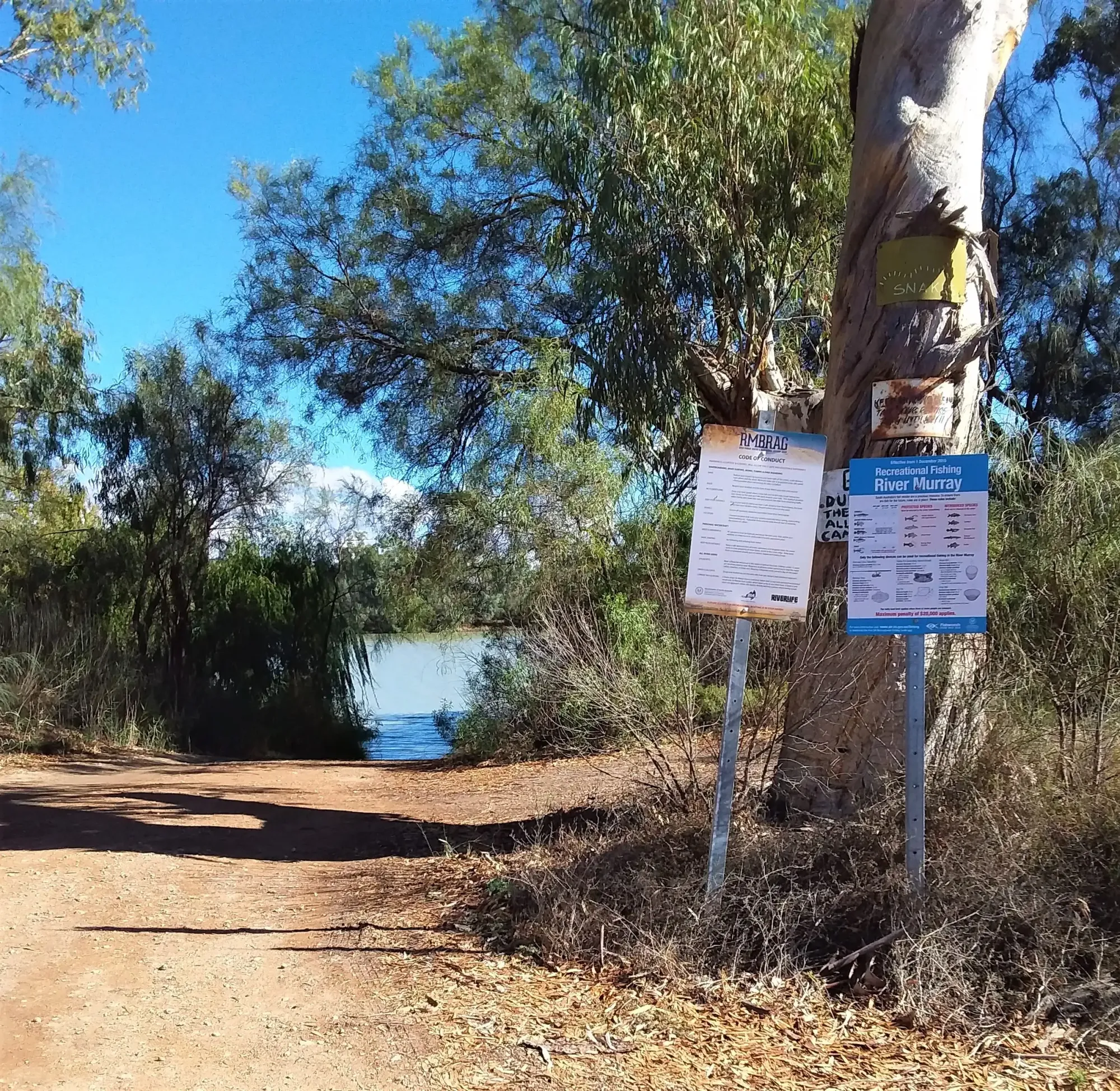
| Murbko Launch No boat ramp | GPS: 34.1632 S; 139.6626 E Road entrance ~700 m past the Lutheran church at Murbko. Free parking at public reserve. | 📍 Directions |
Route Description
Set out from the Murbko launch site onto the Murray River and travel downstream. The portage entrance into Murbko Flat lagoon is at Point A (GPS: 34.1737 S; 139.6512 E). Carry approximately 250 m to enter the lagoon. Alternatively, skip this portage by continuing downstream and entering Murbko Flat from the south.
Paddle through Murbko Flat lagoon (also known as Wombat Hollow) — a quiet, sheltered water body with abundant birdlife. At the southern end, Point B (GPS: 34.1937 S; 139.6511 E) marks the bridge to be crossed out of the lagoon. Cross the bridge and re-enter the river to continue downstream.
Continue downstream along the Murray to Point C (GPS: 34.2189 S; 139.6366 E), the portage entrance into Irwin Flat lagoon. Carry approximately 250 m to enter. Again, this portage can be avoided by continuing downriver and entering Irwin Flat from the south. Both lagoons have abundant birdlife throughout.
Paddle through Irwin Flat lagoon. At the southern end, look up at the cliff for the ruins of the Woods Flat Post Office at Point D (GPS: 34.2342 S; 139.6439 E) — the last post office to close on the River Murray, opened 1901 and closed 1971. The ramp up the cliff face is still visible and provides easy access to the ruin. Exit back to the Murray River at the southern end of the lagoon.
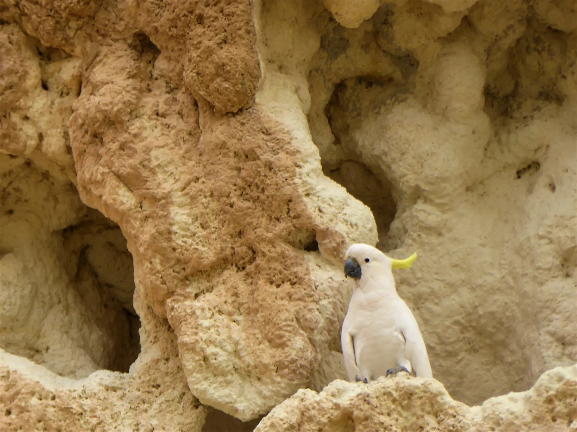
From the southern exit of Irwin Flat, paddle upstream along the Murray River back to the Murbko launch site. The sandstone cliffs lining this section are worth watching carefully — sulphur-crested cockatoos can be seen entering and leaving nesting holes in the cliff face, particularly during the breeding season from August to January.
Wildlife & Environment
The sheltered lagoons of Murbko Flat and Irwin Flat are exceptional birdwatching habitat, with both lagoons consistently noted for their abundant and diverse birdlife. The surrounding Murray floodplain and sandstone cliffs add further variety to what can be seen and heard from the water.
Australian Pelican ( Pelecanus conspicillatus) are a defining feature of any Murray River paddling trip, and the Murbko lagoons are no exception. Whether soaring overhead, coming in to land on the water like a water-skier, or swimming in loose convoys across the lagoon surface, pelicans are a constant presence. They are the only pelican species in Australia, and move inland from coastal and estuarine habitat to ephemeral inland lakes in wetter years.
Whistling Kites ( Haliastur sphenurus) are found along the Murray and its tributaries. Named after their high-pitched, distinctive call — a descending whistle followed by a rapid ascending sequence of staccato notes — you will often hear them before you see them. They are frequently spotted circling lazily overhead, displaying a characteristic underwing pattern with pale “windows”.
Sulphur-crested Cockatoos ( Cacatua galerita) are common along the river, with their loud, grating calls announcing their presence long before the birds come into view. These showy white birds with their brilliant yellow crests feed on seeds, fruits and buds from native trees. Most spectacularly on this trail, they can be seen entering and leaving nesting holes in the sandstone cliffs — especially during the breeding season from August to January.
Country & Heritage
This stretch of the Murray River lies on the traditional Country of the Ngaiawang (Ngayawang) people, whose ancestral territory extended along the Murray from Morgan south to Devon Downs (Ngaut Ngaut), and west to the Mount Lofty Ranges. The river — Murrundi in the Jarildekald language — was the lifeblood of the Nations along its banks, sustaining dense populations through its abundance of fish, wildfowl, mussels and plant foods for tens of thousands of years.
Paddling Trails South Australia acknowledges the Ngaiawang people and the First Peoples of the River Murray and Mallee Region as the Traditional Owners of this Country, and pays respect to Elders past, present and emerging.
Murbko Settlement
In 1861, Thomas Glen took out a pastoral lease named Murbko, stretching from Morgan south towards Blanchetown. When his homestead was inundated in the great Murray flood of 1870, Glen sold the leasehold to Donald McLean. The Hundred of Murbko was declared in 1893 during a period of economic depression, with the government hoping to settle unemployed men on the marginal farming land along the river. Wilhelm Zadow of Blumberg (later Birdwood) purchased the first block in 1894 and, as a devout Lutheran, drove the construction of the Murbko Lutheran Church in 1907 — still standing today, just past the road entrance to this trail's launch site.
The locality takes its name from the original pastoral lease. The area's German-heritage farming families established orchards and farms along the riverflats, and their history is visible in the well-kept church and its historic graveyard with German headstones.
Woods Flat Post Office — Last on the River
At Point D, at the southern end of Irwin Flat lagoon, the cliff above the water holds the ruin of the Woods Flat Post Office — opened in 1901 and closed in 1971, it was the last post office to close on the Murray River. Woods Flat was once a functioning riverbank settlement with a school and institute as well as the post office, serving the farming communities of the upper riverflats. The ramp cut into the cliff face is still visible from the water and provides access to the ruin above. It is a sobering reminder of how many once-thriving river communities have since been reclaimed by the bush.