Clayton to Boundary Creek Loop
A 20 km return day paddle from Clayton Bay across Lake Alexandrina to Boundary Creek and the Ewe Island barrage — paddling through one of Australia’s most significant Ramsar wetlands on Ngarrindjeri Country.
- Distance
- 20 km return
- Difficulty
- Easy – Moderate
- Trail type
- Return
- From Adelaide
- 86 km south-east
The Clayton to Boundary Creek Loop is a full-day paddle across the open waters of Lake Alexandrina and into the reed-lined backwaters of Boundary Creek — one of the principal channels that once connected the Murray system to the Coorong, now closed at its southern end by the Ewe Island barrage. This trail sits entirely within an internationally significant Ramsar wetland, on the ancient Country of the Ngarrindjeri people, and offers exceptional birdwatching through a landscape shaped by the Murray’s long journey to the sea.
About This Trail
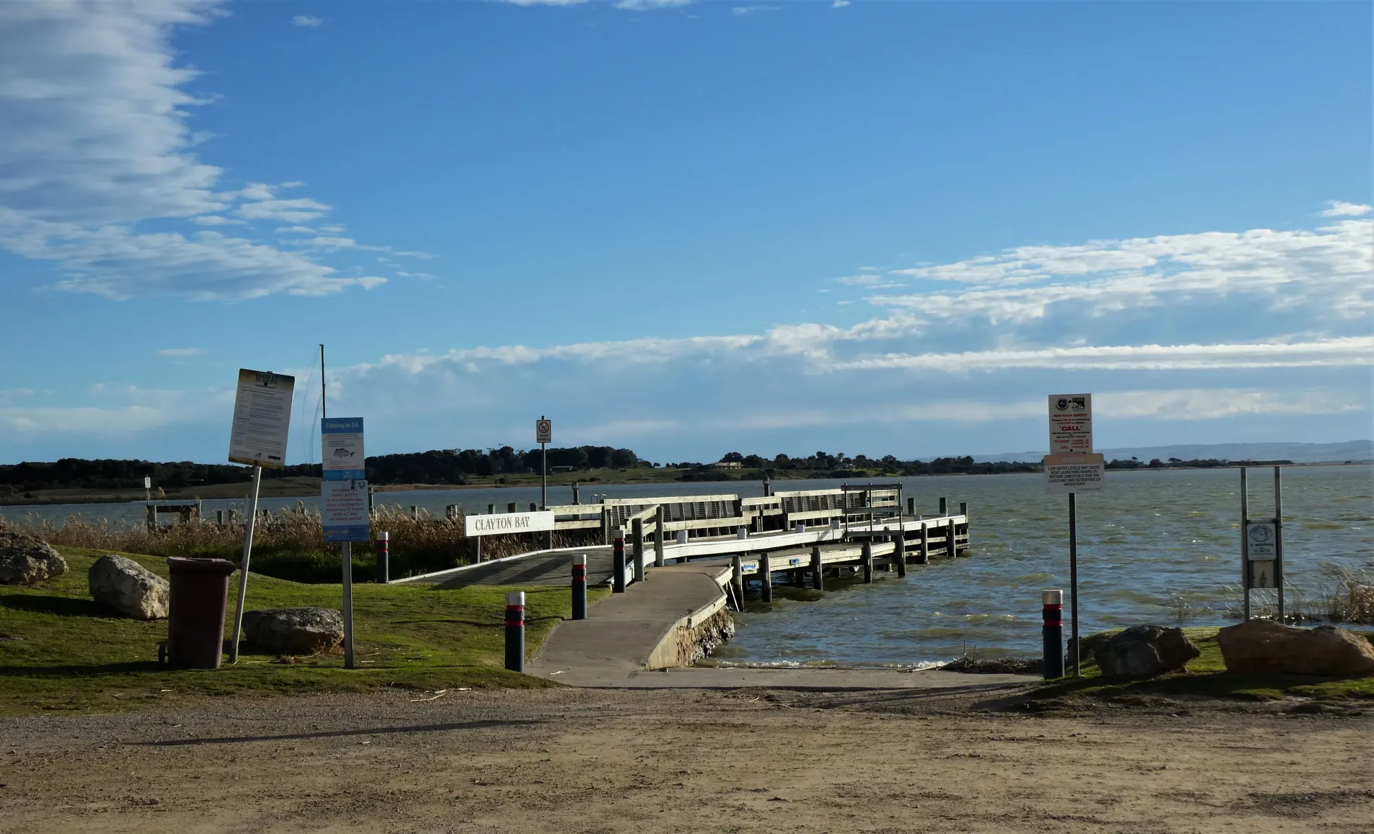
The trail is a return paddle starting and finishing at the Clayton Bay Waterfront Reserve. No car shuffle is required. The outward leg crosses open Lake Alexandrina, following numbered navigation beacons south-east to Rat Island, then into the entrance of Boundary Creek. The return leg retraces the same route.
The two halves of the trail are quite different in character. The lake section is open, exposed to wind, and requires good navigation using the beacons. The creek section is intimate — narrow, reed-lined, shallow in places, and rich with birdlife. The paddle to the Ewe Island barrage and back makes a natural rhythm to the day, with the barrage a good spot for lunch before the return crossing.

Paddle SA is the governing body of paddle sport and recreation in South Australia. It leads and supports paddling in South Australia and encourages the safe exploration of our waterways.
Paddling Trails South Australia has a range of trails to suit different abilities. Know your ability.
🌐 paddlesa.au →Launch Site & Route
| Site | Location | Notes |
|---|---|---|
| Clayton Bay Waterfront Reserve Boat ramp | GPS: 35.4970 S; 138.9235 E. Parking, toilets, picnic tables, BBQ and playground at the reserve. Town shops nearby. Camping at Clayton Bay Holiday Park. |
Route Description
From the Clayton Bay Waterfront Reserve boat ramp, head in a south-easterly direction, following the numbered navigation beacons across the open lake. Rat Island (on the eastern tip of Hindmarsh Island) will appear approximately 4.3 km from the launch point. This open lake crossing is the most wind-exposed section of the trail — assess conditions carefully before and during this leg.
The entrance to Boundary Creek is behind Rat Island, approximately 1 km further on at Point A (GPS: 35.5298 S; 138.9669 E). The entrance may be obscured by reeds — look for the unlit navigation beacon near the entrance to locate it. Once in the creek, paddle slowly; the water can be quite shallow and reeds are abundant. The islands on either side are privately owned. Other creeks in the area are not navigable due to reeds.
From the creek entrance, it is approximately 3.5 km through Boundary Creek to the Ewe Island barrage. This is a suitable spot for a lunch break before the return journey. The barrage marks the point where Boundary Creek, once a principal channel connecting the Murray to the Coorong, is now closed to through passage. Return via the same route to Clayton Bay.
The map shows the Boundary Creek section traced from the KML file. The open lake crossing from Clayton Bay to the creek entrance is shown as a straight-line approximation.
Wildlife & Environment
Clayton Bay and its surrounding wetlands are part of the Coorong, Lower Murray, Lower Lakes, Murray Mouth, Lake Alexandrina and Lake Albert Wetland — designated as a Wetland of International Importance under the Ramsar Convention in 1985. The site covers approximately 140,500 hectares and is one of The Living Murray’s six icon sites. It is also internationally recognised as a critical nesting and breeding ground for migratory birds.
Under Ramsar criteria, the wetlands support more than one percent of the world population of several waterbird species, including the Purple Swamphen ( Porphyrio porphyrio). Pelicans, cormorants, herons, wading birds, black swans and a wide variety of waterfowl are regularly encountered throughout the lake and the reed beds of Boundary Creek.
The freshwater habitats around the islands in this area — Hindmarsh, Mundoo, Ewe and Tauwitchere — are critical habitat for EPBC-listed small-bodied native fish, including the Murray Hardyhead ( Craterocephalus fluviatilis) and Yarra Pygmy Perch ( Nannoperca obscura). The transitional freshwater zones also provide important ecological connectivity for migratory fish species. Wind-exposed mudflats around the islands, created by lake level fluctuations, provide additional foraging habitat for wading birds.
Country & Heritage
Clayton Bay sits within the traditional Country of the Ngarrindjeri people, the Traditional Owners of the Lower Lakes, Murray Mouth and Coorong. The Ngarrindjeri have continuously occupied and cared for this Country — Yarluwar-Ruwe (land, waters and seas) — for thousands of years. In 2017, Ngarrindjeri Native Title rights were formally recognised, affirming their rights to hunt, fish, gather, use natural water and protect cultural sites in the area.
The lakes and waterways are not merely landscape — they are living, spiritually significant Country. The ancestor Ngurunderi shaped the lower Murray River system, Lake Alexandrina and the Coorong in the Dreaming, and this relationship between people, water and Country continues today through active Ngarrindjeri involvement in environmental management and cultural stewardship of the region.
Ngarrindjeri Native Title holders, the Alexandrina Council and local residents work together to protect and restore the wetlands, promote ecotourism practices, and preserve cultural heritage sites. The Alexandrina Council sits largely within Ngarrindjeri traditional lands and entered the Kungun Ngarrindjeri Yunnan (KNY) Agreement — “Listen to Ngarrindjeri People Talking” — with the Ngarrindjeri Nation in 2002.
Paddling Trails South Australia acknowledges the Ngarrindjeri people as the Traditional Owners of this Country, and pays respect to Elders past, present and emerging.
History of Clayton & These Waterways
Clayton was named in 1858 by Governor MacDonnell after the carpenter who helped supervise the building of Captain Charles Sturt’s boat during the 1829–30 expedition, which reached Lake Alexandrina and found the point where the Murray flows to the sea. The town’s name was officially changed to Clayton Bay in 2008 to avoid confusion with Clayton, Victoria.
The PTSA’s own trail notes describe Clayton as “the staging post for the Mundoo and Boundary Creeks, principal channels in a maze of reeds and waterways leading once to the Coorong in the lee of Hindmarsh Island, but closed today by the Murray Mouth Barrages.” The Ewe Island and Tauwitchere barrages were built on a calcareous reef, with earth embankments at both ends — part of the five-barrage system constructed to prevent saltwater intrusion into the Lower Lakes.
The pastoral history of the islands is embedded in the trail’s geography. Rat Island (eastern tip of Hindmarsh Island) was once called Ram Island because this is where rams were set aside from the main flocks. Ewe Island, Lucerne Island and Boundary Creek all reflect this history — the islands were paddocks, and the creeks were fences. In the 1840s, Dr John Rankine operated a ferry service from Clayton Bay to Hindmarsh Island transporting sheep and workers. Rankine’s Ferry — today visible as a cluster of old stone buildings on the slope of Hindmarsh Island — was a regular crossing in its day, with stock swum between island paddocks.