Parnka Point Trails
Two return paddle trails from the narrowest point of the Coorong — exploring the northern and southern lagoons of this internationally significant Ramsar wetland. Approx. 20 km return each trail; allow 4–5 hours per trail.
- Distance
- ~20 km each trail
- Difficulty
- Easy – Moderate
- Trail type
- 2 Return trails
- From Adelaide
- 150 km south-east
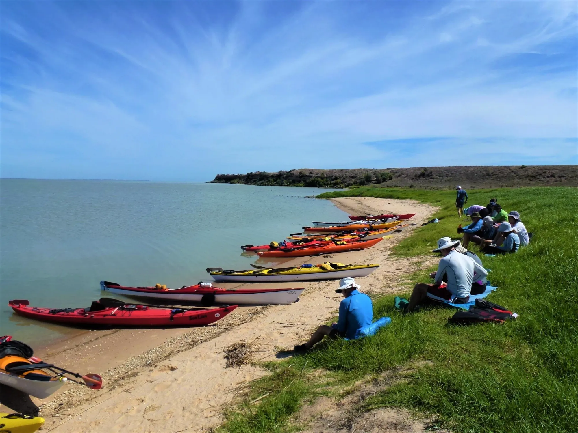
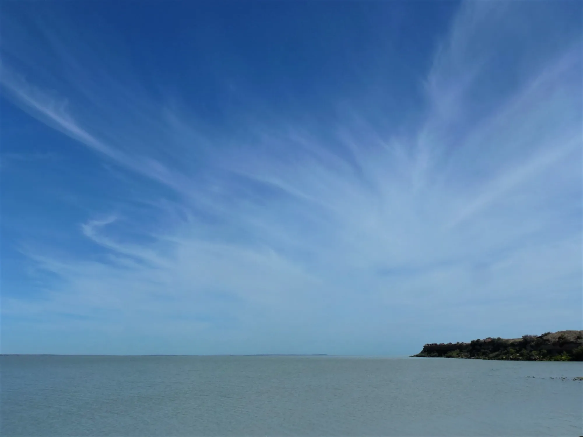
The Parnka Point Trails offer two distinct return paddles from one of the most remarkable locations in South Australia — Parnka Point, known to early European settlers as ‘Hells Gate’, the narrowest point of the Coorong where the vast northern and southern lagoons are separated by a channel less than 100 metres wide. One trail heads north-west into the Northern Lagoon; the other explores the shallower Southern Lagoon. Together they offer a full day’s paddling through an internationally recognised Ramsar wetland teeming with birdlife.
About This Trail
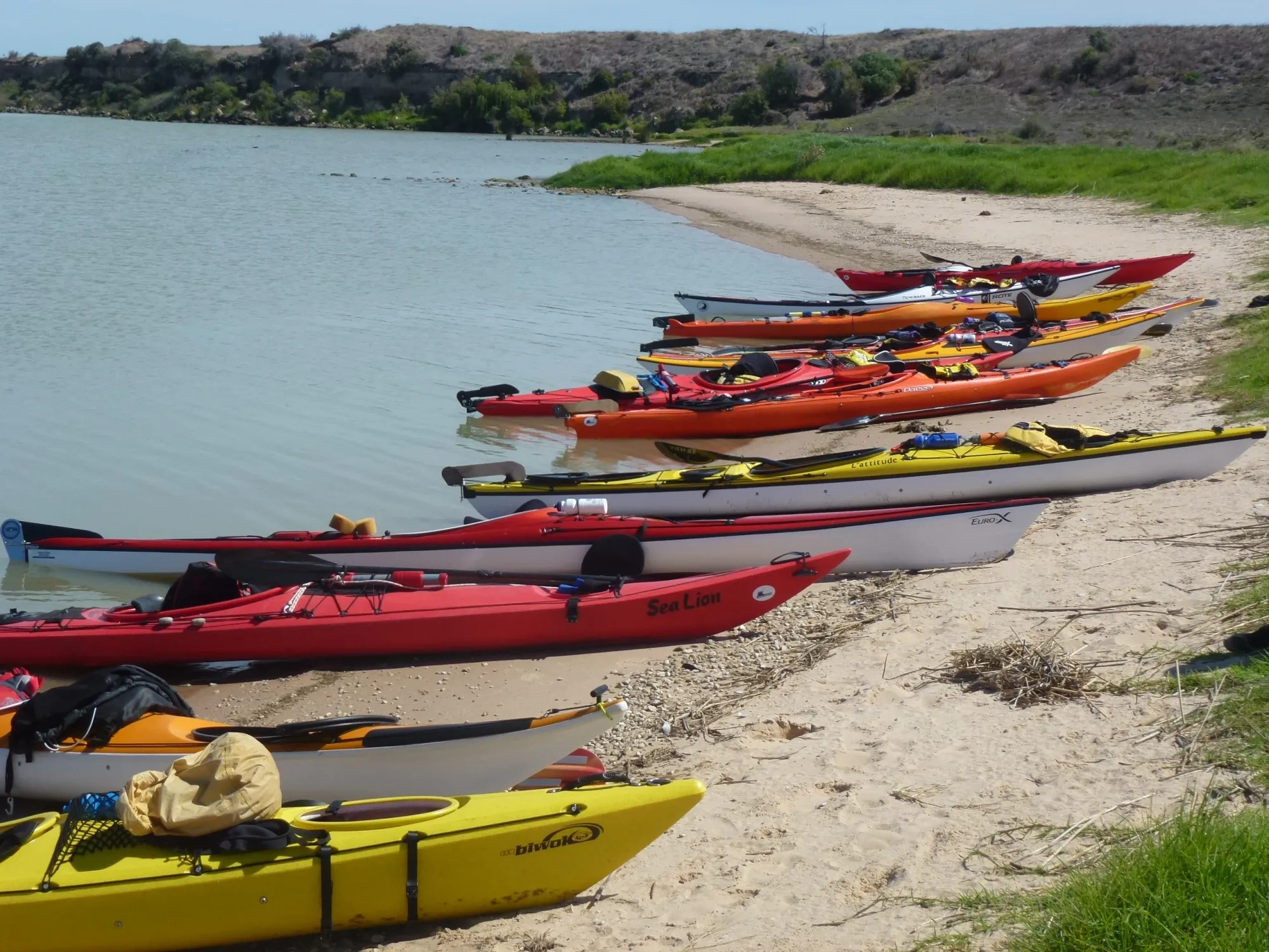
Both trails launch from the Parnka Point boat ramp in Coorong National Park, approximately 150 km south-east of Adelaide via Meningie. Each trail is presented as an independent return paddle — paddlers can choose to complete one or both in a day. The two campgrounds at Parnka Point (13 sites total) make the area an ideal base for an overnight or multi-day Coorong exploration.
The Coorong lagoon at Parnka Point is very shallow, with depths varying significantly by season and wind direction. The area is not tidal, but water levels are strongly influenced by wind — westerly and south-westerly winds push water from the northern lagoon into the southern lagoon, raising southern water levels. These conditions occur mainly in winter, which is also the best season to paddle here.

Paddle SA is the governing body of paddle sport and recreation in South Australia. It leads and supports paddling in South Australia and encourages the safe exploration of our waterways.
Paddling Trails South Australia has a range of trails to suit different abilities. Know your ability.
🌐 paddlesa.au →Launch Site & Route
Both trails launch from the Parnka Point boat ramp, Coorong National Park. There are no facilities at the launch site itself, but the adjacent campgrounds have toilets and water tanks. Parking is available at the launch point. The nearest town for fuel and supplies is Meningie, approximately 17 km north.
| Site | Location | Notes |
|---|---|---|
| Parnka Point Boat Ramp | Coorong National Park, via Meningie (150 km from Adelaide). GPS: 35.9016 S; 139.3960 E. No launch facilities — nearest toilets and water at campgrounds. |
Route Description
From Parnka Point boat ramp, paddle north-west into the Northern Lagoon of the Coorong. The Northern Lagoon extends from Parnka Point to the Goolwa Barrage and offers more sheltered, deeper paddling than the southern section. Keep to the left-hand (western) side of the islands, where the water is deeper and there are fewer rocks. You will pass four islands — Bluff Island, Rabbit Island, Snake Island and lastly the Needles, aptly named as the rocks there are particularly pointed and sharp. These islands are noted breeding areas for fairy terns. You then enter the Northern Lagoon, which is largely free of underwater obstructions but may be shallow in areas. Allow 4–5 hours return. Turn back at a comfortable midpoint and return to Parnka Point.
From Parnka Point boat ramp, paddle south-east into the Southern Lagoon (heading south, the deeper water tends to be on the eastern side of the islands) — the shallower, more remote, and more saline of the two lagoons. The Southern Lagoon extends toward Salt Creek and becomes increasingly narrow and hyper-saline toward its southern end. Note: this section is extremely shallow in summer and may be impassable. The prohibited pelican breeding islands near Jacks Point (GPS 36.0368 S; 139.5674 E) lie within this section — observe all exclusion zones. Allow 4–5 hours return.
Ngarrindjeri Country — The Kurangk
The Coorong lies within the traditional Country of the Ngarrindjeri people, who have inhabited and cared for these lagoons, dunes, and waterways for thousands of years. The name Coorong derives from the Ngarrindjeri word Kurangk, meaning ‘long narrow neck’ — a perfect description of this 130 km saline lagoon stretching south-east from the Murray Mouth.
Parnka Point itself carries deep significance — Parnka is a Ngarrindjeri word meaning ‘sandy beach’, and the point was a significant meeting place for the five Aboriginal groups that formed the Ngarrindjeri clan. The lower Murray, lakes and Coorong region was once one of the most densely populated areas of pre-colonial Australia. The Ngarrindjeri referred to this environment as their ‘supermarket’ — the lagoon and its margins provided clean water, fish, waterfowl, mussels, cockles, and plant medicines in abundance.
Middens of discarded cockle shells, found throughout the sand dunes of the Younghusband Peninsula, represent some of the most extensive archaeological evidence of Aboriginal occupation in Australia. The Ngarrindjeri’s creation stories — including the Dreaming journeys of the ancestral figure Ngurunderi, who shaped the waterways of the lower Murray — remain central to Ngarrindjeri culture today. The Ngarrindjeri Aboriginal Corporation continues to work with the Department for Environment and Water in the co-management of the Coorong.
Paddling Trails South Australia acknowledges the Ngarrindjeri people as the Traditional Custodians of the lands and waters along this trail, and pays respect to Elders past, present and emerging.
Wildlife & Environment
The Coorong is one of Australia’s great wildlife spectacles. Recognised as a Ramsar Wetland of International Importance since 1985 and an Important Bird Area by BirdLife International, the park supports over 230 species of birds — including enormous numbers of migratory waders that travel annually from Siberia, Alaska, Japan, and China to overwinter in the lagoon’s shallows.
Paddling at water level through the lagoon offers unparalleled close encounters with waterbirds: Australian pelicans, royal spoonbills, black-necked storks, pied cormorants, black swans, chestnut teals, Australian shelducks, red-capped plovers, pied oystercatchers, banded stilts, and red-necked avocets are all commonly seen. In the right season, sharp-tailed sandpipers and red-necked stints feed in tight flocks along the waterline.
South of Parnka Point, the breeding islands also support fairy terns (listed as vulnerable), Caspian terns, crested terns, and whiskered terns. On the Younghusband Peninsula opposite the launch point, emus take advantage of fresh water soaks near the base of the dunes. The park has also recorded orange-bellied parrots and hooded plovers, both threatened species.
The Coorong’s unique ecology arises from the meeting of Murray River freshwater, rainfall, groundwater, and Southern Ocean seawater — creating a gradient from estuarine conditions in the Northern Lagoon to hyper-saline conditions in the far Southern Lagoon. The park supports 278 species of plants, with the coastal dune vegetation of the Younghusband Peninsula being particularly fragile and sensitive to disturbance.
Coorong National Park
Coorong National Park was proclaimed in November 1967 as a sanctuary for the birds, animals, and fish of the lagoon system. At 467 km², it encompasses the Coorong lagoon itself and the entire Younghusband Peninsula — the sweeping system of ancient sand dunes that separates the lagoon from the Southern Ocean. The oldest of these dunes date back approximately 120,000 years; the contemporary Coorong lagoon itself formed between 6,000 and 20,000 years ago as rising sea levels created the enclosed lagoon behind the dune barrier.
The park is internationally famous as the setting of Storm Boy — Colin Thiele’s beloved 1964 novel about a young boy and his orphaned pelican, Mr Percival. The story was adapted into a film in 1976 and again in 2019. Filming locations for both films are found throughout the park.
The Coorong’s health has been under pressure in recent decades due to reduced freshwater flows from the Murray River, increased salinity in the southern lagoon, and the impacts of climate change. Environmental flow programs under the Murray–Darling Basin Plan are working to restore the ecological character of the wetland.
Points of Interest
- Parnka Point — Hells Gate: The narrowest point of the Coorong, where the northern and southern lagoons meet in a channel less than 100 m wide. A significant Ngarrindjeri meeting place and one of the most scenic viewpoints on the entire lagoon.
- Younghusband Peninsula: The sweeping dune system visible across the lagoon from the launch point separates the Coorong from the Southern Ocean. Ancient dune formations up to 120,000 years old. A short walk over the dunes reaches the ocean beach. Emus are commonly seen on the peninsula.
- Jack Point Pelican Observatory: A short walking trail (accessible by road, north of Parnka Point) leads to a viewing platform overlooking the pelican breeding islands in the Southern Lagoon. Home of Australia’s most important permanent pelican breeding colony. Binoculars strongly recommended.
- Prohibited breeding islands (south of Parnka Point): The marked islands near Jacks Point (GPS 36.0368 S; 139.5674 E) are protected breeding areas for pelicans, fairy terns, and other seabirds. No landing or close approach permitted at any time.
- Ngarrindjeri shell middens: Ancient shell midden deposits on the dunes of the Younghusband Peninsula record thousands of years of Ngarrindjeri presence on Country. These are significant cultural and archaeological sites — do not disturb or remove any material.
- Camp Coorong Cultural Museum: Located approximately 11 km south of Meningie on the Princes Highway, Camp Coorong is a Ngarrindjeri-owned cultural centre offering insights into Ngarrindjeri history, art, weaving, and traditional practices.
Trail Gallery
4 photos