


 Paddle SA is the governing body of paddle sport and recreation in South Australia. It leads and supports paddling in South Australia and encourages the safe exploration of our waterways.
Paddling Trail South Australia has a range of Paddling Trails to suit different abilities.
Know your ability.
Paddle SA is the governing body of paddle sport and recreation in South Australia. It leads and supports paddling in South Australia and encourages the safe exploration of our waterways.
Paddling Trail South Australia has a range of Paddling Trails to suit different abilities.
Know your ability.  https://canoethecoorong.com
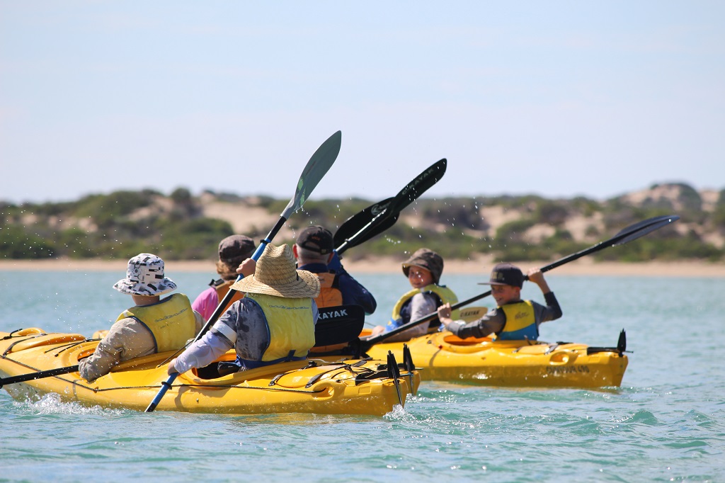
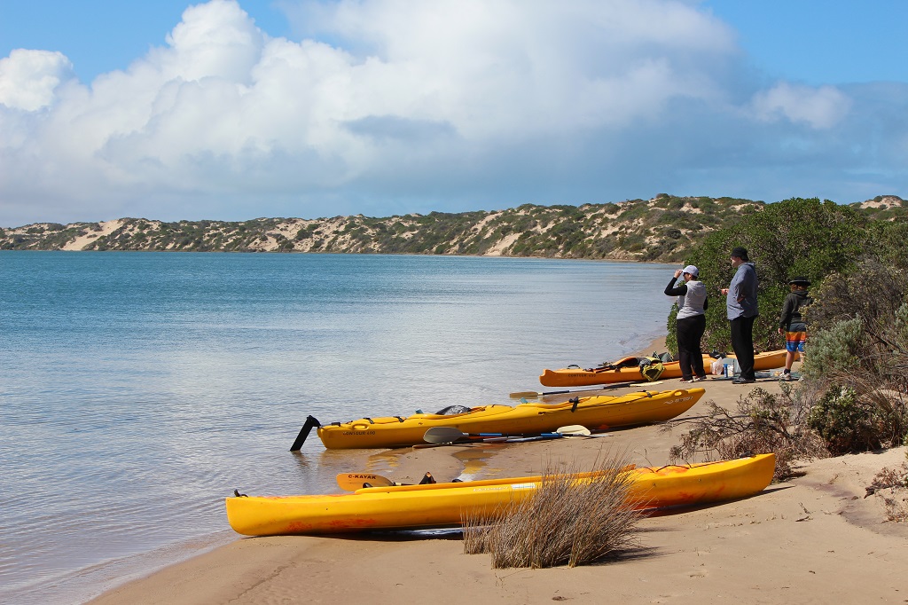
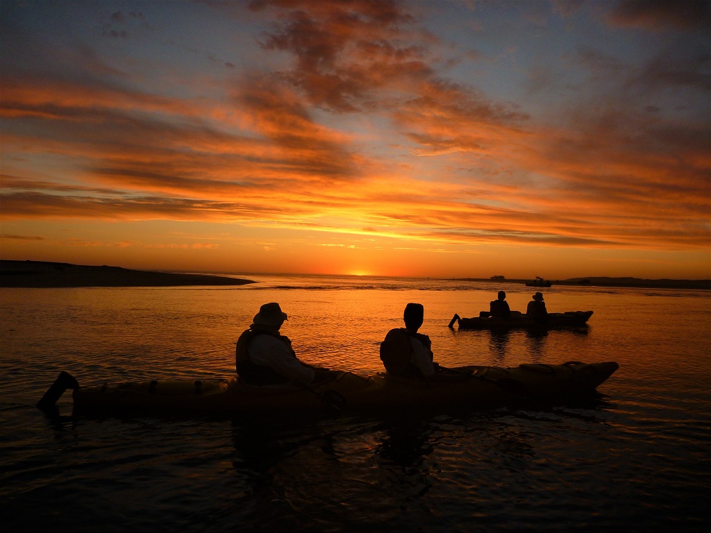
Kayak hire & guided tours through the amazing natural beauty of South Australia’s Coorong National Park near Goolwa. Just one hour from Adelaide.
https://canoethecoorong.com
Kayak hire & guided tours through the amazing natural beauty of South Australia’s Coorong National Park near Goolwa. Just one hour from Adelaide.  If you have a smartphone or tablet you can download the free Avenza PDF Map app and have interactive paddling trail maps on hand when you need them. The app uses your device’s built-in GPS to plot your real-time location within the park onto a map. The app can be used without a network connection and without roaming charges. You can also measure area and distance, plot photos, and drop Placemark pins.
Launch Sites: ![]() Reserve at the end of Mundoo channel road (Not the boat ramp) GPS: 35.5485 S; 138.8882 E
Reserve at the end of Mundoo channel road (Not the boat ramp) GPS: 35.5485 S; 138.8882 E
Return to same point to exit
If staying away overnight then the reserve is more secure for leaving motor vehicles
Trail Points:
The trail starts at the Reserve at the end of Mundoo channel drive. There are many shallow areas in this part of the Coorong, so it is important to stay in the marked channel.
![]() Do not enter the mouth of the Murray as the tidal waters can be quite strong. Land about 200/300 m from the mouth at the Barkers Knoll Boardwalk (Point A) GPS 35.5590 S; 138.8882 E and walk. Toilet facilities are no longer provided here.
Do not enter the mouth of the Murray as the tidal waters can be quite strong. Land about 200/300 m from the mouth at the Barkers Knoll Boardwalk (Point A) GPS 35.5590 S; 138.8882 E and walk. Toilet facilities are no longer provided here.
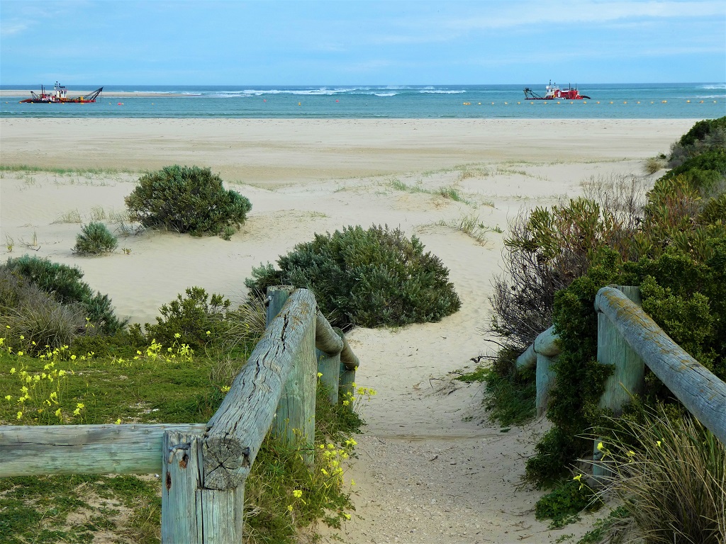
![]() There is a camping site at Godfreys Landing (Point B GPS: 35.5713 S; 138.9241 E) with toilet facilities, however remember to bring your own water as the Coorong is salty. There are tracks at both Barkers Knoll and Godfreys Landing that will take you to the Southern Ocean beaches.
There is a camping site at Godfreys Landing (Point B GPS: 35.5713 S; 138.9241 E) with toilet facilities, however remember to bring your own water as the Coorong is salty. There are tracks at both Barkers Knoll and Godfreys Landing that will take you to the Southern Ocean beaches.
Note: Although there are plenty of Pipis to be found on the beaches in this area, it is forbidden to harvest them as the beaches south of the Murray mouth are reserved for commercial fishers.
Note: Camping permits must be obtained from Coorong National Park prior to departure and can only be obtained online.
![]() If extending the trip to two days a diversion to Boundary creek (Point C GPS 35.5643 138.9182) on the second day would be of interest as an abundance of birds can be seen in this area.
If extending the trip to two days a diversion to Boundary creek (Point C GPS 35.5643 138.9182) on the second day would be of interest as an abundance of birds can be seen in this area.
Note: Avoid landing ashore in the Boundary Creek area as it is a private property on either side of the creek
![]()
![]()
![]()
NOTE: If you plan to make this a longer trip and camp overnight then Camping permits must be obtained from Coorong National Park prior to departure and can only be obtained online
 Coorong Birdwatcher’s Trail
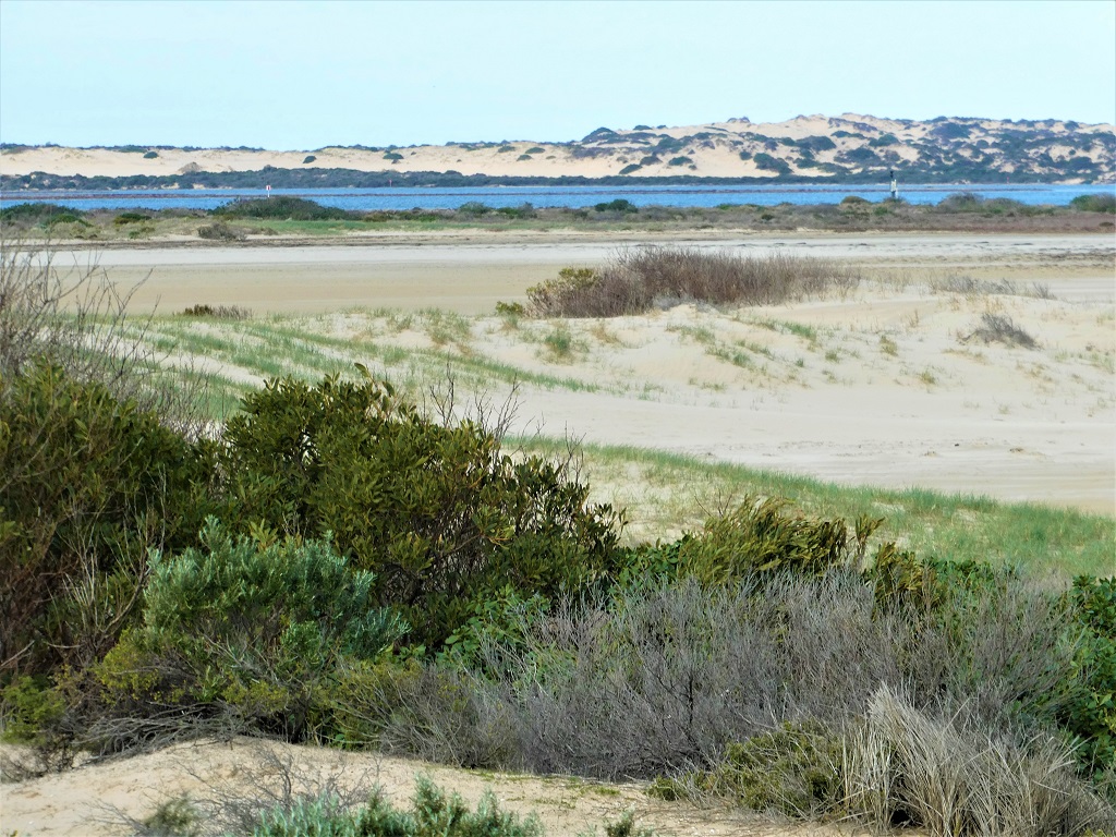
The Coorong consists mostly of a long shallow saltwater lagoon separated from the sea by the sand dunes of the Younghusband Peninsula. Hence the name Coorong, which comes from the Ngarrindjeri word ‘Karangk’ meaning ‘long neck’.
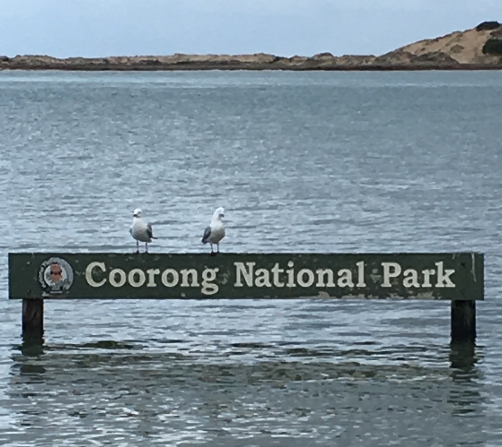
Coorong National Park
Established in 1966, the Coorong National Park is a spectacular saline lagoon stretching 140km. It is separated from the Southern Ocean by sand dunes of the Younghusband Peninsula and is internationally significant under the Ramsar agreement as a migratory wader and waterfowl refuge. In 1980 the Coorong National Park was included on the Register of the National Estate. The 46,745 hectare Coorong National Park includes a magnificent coastal sand dune system and a complex wetland habitat which supports an abundance of birds, ground-dwelling animals, and fish.
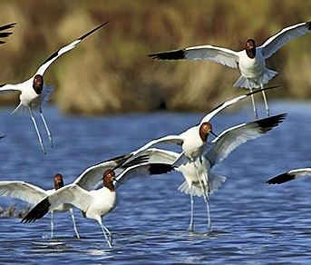
Birds of the Coorong
Which bird is that? Identification of birds, especially the smaller and less colourful species, can be challenging.
Take note of their:
shape – especially beak or bill
unusual features – perhaps their walk or flight pattern
flashes of colour – the head, neck, and underside of wings may give a clue
their habitat – did you see them in reeds, on the beach, or wading?

