


 https://canoeadventure.com.au/
Canoe Adventures Riverland hire and deliver kayaks in this area.
www.facebook.com/
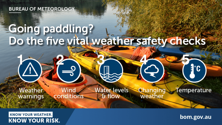
 Paddle SA is the governing body of paddle sport and recreation in South Australia. It leads and supports paddling in South Australia and encourages the safe exploration of our waterways.
Paddling Trail South Australia has a range of Paddling Trails to suit different abilities.
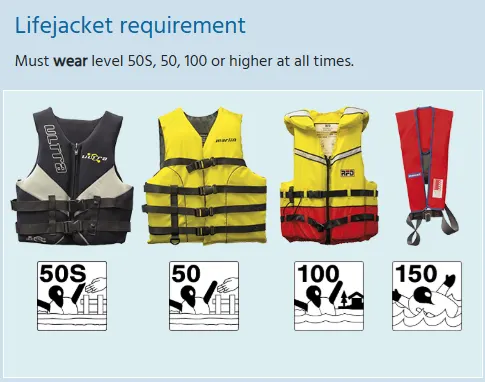
Know your ability.
Paddle SA is the governing body of paddle sport and recreation in South Australia. It leads and supports paddling in South Australia and encourages the safe exploration of our waterways.
Paddling Trail South Australia has a range of Paddling Trails to suit different abilities.
Know your ability.  If you have a smartphone or tablet you can download the free Avenza PDF Map app and have interactive paddling trail maps on hand when you need them. The app uses your device’s built-in GPS to plot your real-time location within the park onto a map. The app can be used without a network connection and without roaming charges. You can also measure area and distance, plot photos, and drop Placemark pins.
![]() Loxton Riverfront Reserve / Caravan Park GPS: 34.4474 S; 140.5486 E
Loxton Riverfront Reserve / Caravan Park GPS: 34.4474 S; 140.5486 E
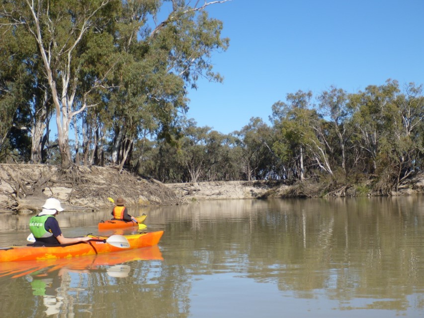
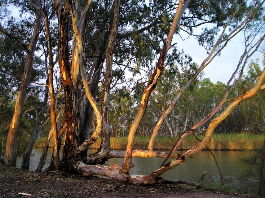
The trail starts at Loxton Riverfront Reserve where the “Tree of Knowledge” is located. This tree has marking showing the high flood levels for the past 50 years.
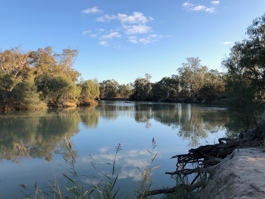
Proceed left and head downstream for about 5.5km to the entrance to Katarapko Creek at Point A (GPS: 34.4469 S; 140.5083 E).
Proceed along the creek for about 13.5K to Point B (GPS: 34.3597 S; 140.5404 E). The creek is part of the Murray River National Park.
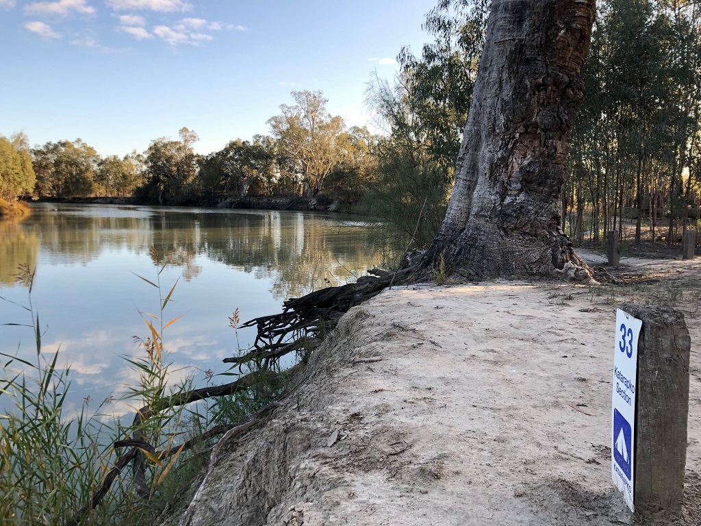
Camping is available all along the creek but individual sites need to be booked beforehand over the internet using the link to the Murray River National Park.
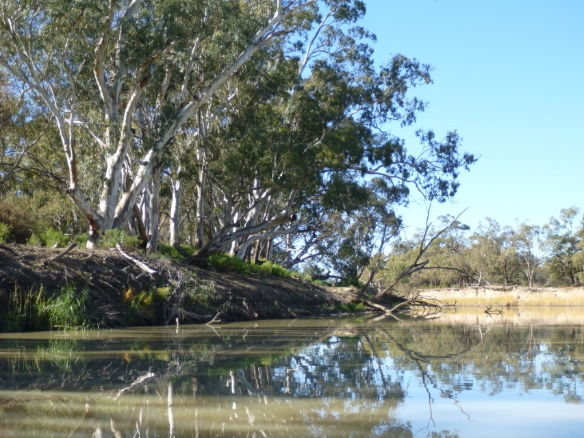
Note: Free camping is available along the Murray River (The first 30 metres from the water’s edge is crown land except for some areas near towns) and there are a number of excellent sandbars for camping along the northern parts of the river, once you leave Katarapko creek.
At Point B (GPS: 34.3597 S; 140.5404 E) the creek divides into two.
The left-hand branch is known as the “Splash”. There is a regulator/weir on this waterway at this point. Instead, take the RH stream for about 3k and you will reach the “Stone Weir”.
There is often a strong flow over this weir.
An easy portage can be taken around this structure along the LHS from the downstream side. 600 meters past the “Stone weir” the creek enters the Murray River. Point C (GPS 34.3505 S 140.5511S).
From here paddlers will find it is an uncomplicated 26km downstream paddle back to the Launch point at Loxton.
Toilets and picnic area at the Loxton Riverfront Reserve (launch site) Full facilities at the adjacent Holiday/Caravan Park

