


 https://canoeadventure.com.au/
Canoe Adventures Riverland hire and deliver kayaks in this area.
www.facebook.com/
 Paddle SA is the governing body of paddle sport and recreation in South Australia. It leads and supports paddling in South Australia and encourages the safe exploration of our waterways.
Paddling Trail South Australia has a range of Paddling Trails to suit different abilities.
Know your ability.
Paddle SA is the governing body of paddle sport and recreation in South Australia. It leads and supports paddling in South Australia and encourages the safe exploration of our waterways.
Paddling Trail South Australia has a range of Paddling Trails to suit different abilities.
Know your ability.  If you have a smartphone or tablet you can download the free Avenza PDF Map app and have interactive paddling trail maps on hand when you need them. The app uses your device’s built-in GPS to plot your real-time location within the park onto a map. The app can be used without a network connection and without roaming charges. You can also measure area and distance, plot photos, and drop Placemark pins.
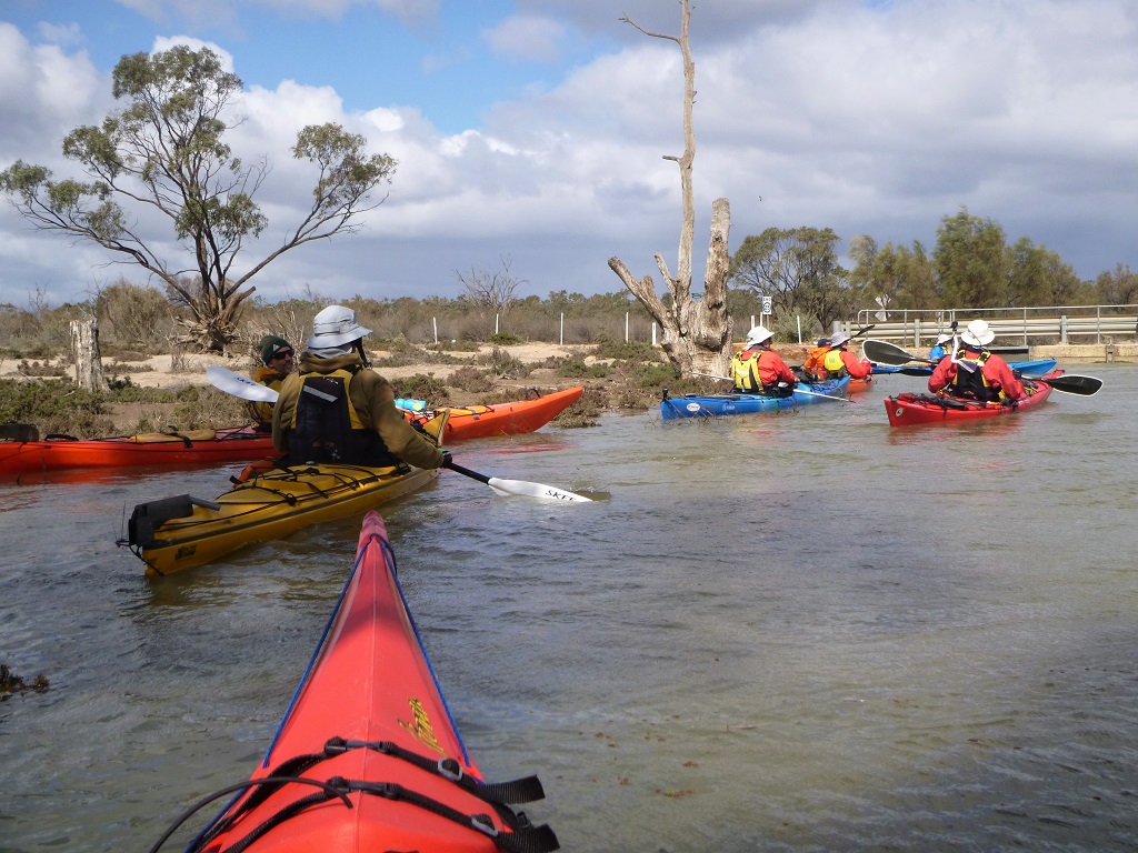
![]() Launch
Launch
Lock 4 Boat ramp Nitschke Rd, Bookpurnong via Berri (GPS 34.3411 S 140.5774 E)
Trail notes
This trail starts upstream of the Lock 4 Boat ramp.
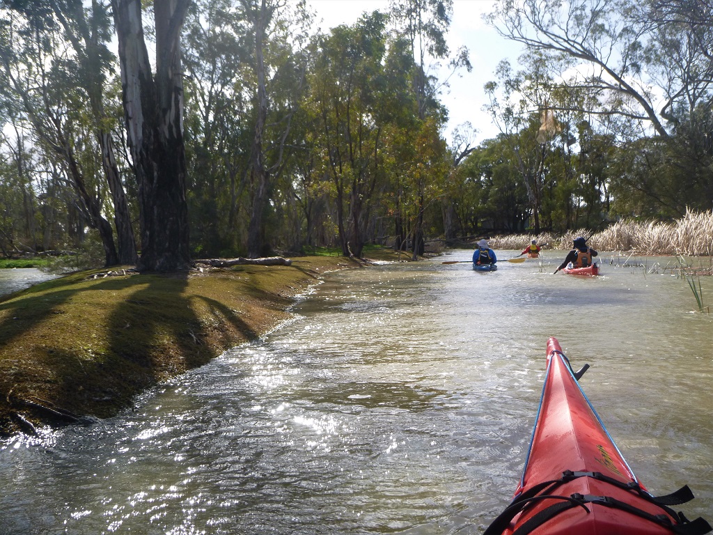
Travel upstream about 100m and enter the creek on the RHS. Point A (GPS 34.3405 S 140.5766 E). This is the entrance to Ajax/Achilles lakes, an attractive bypass to the river.
Paddle about 1.6 km in a northerly direction, avoiding the branch to the right and you will re-enter the river after passing the sunken barges Ajax and Achilles in the next small lake.
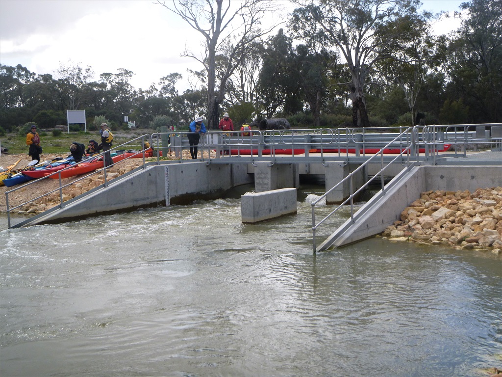
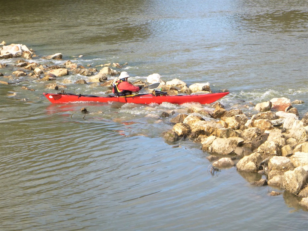
As you travel upstream in the river you will pass the attractive Bookpurnong cliffs (Booky cliffs) on the RHS. Proceed for a further 4 km and enter Eckert Creek on the LHS at Point B (GPS 34.3152 S 140.5855 E). You will need to portage around the regulator at this point.
There are often strong currents in this creek.
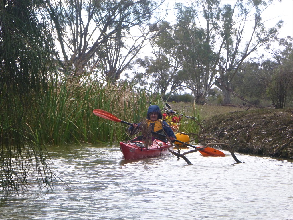
Travel about 1.25 km along this creek and you will reach a branch at Point C (GPS 34.3193 S 140.5761 E). Take the left-hand branch into Jarrett Creek. After about 0.25 km you will pass a culvert with a road over it.
You will probably need to portage around this culvert.
Continue for a further 2.5 km and you will enter Eckert wide water. Keep left here, enter Eckert Creek and continue for a further 1 km to the log crossing regulator at Point D (GPS 34.3363 S 140.5468 E).
Sawmill Creek is on the LHS just prior to the regulator. It is hidden behind a mass of reeds (but it is accessible by kayak).
The creek is quite narrow in places and there is a strong flow of water and numerous fallen trees to navigate.
When water levels are low this creek is not navigable.
If doing the extended trip you will need to portage around the log crossing regulator into the Splash.
If doing the day trip, travel up Sawmill Creek for 1.5 km and you will reach another regulator at Point H (GPS 34.3457 S 140.5504 E). This regulator is often open and can be paddled through, but if not you will need to portage around this regulator. Soon you will re-enter the Murray River at the point that Katarapko Creek enters the river. Turn left and travel about 3 km upstream to Lock 4.
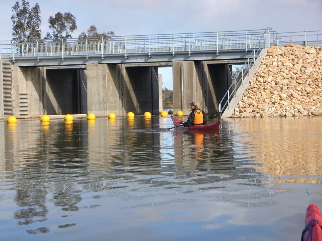
Note: Lock 4 operating times are 8.00AM-11.30AM, 1.00PM-4.30PM
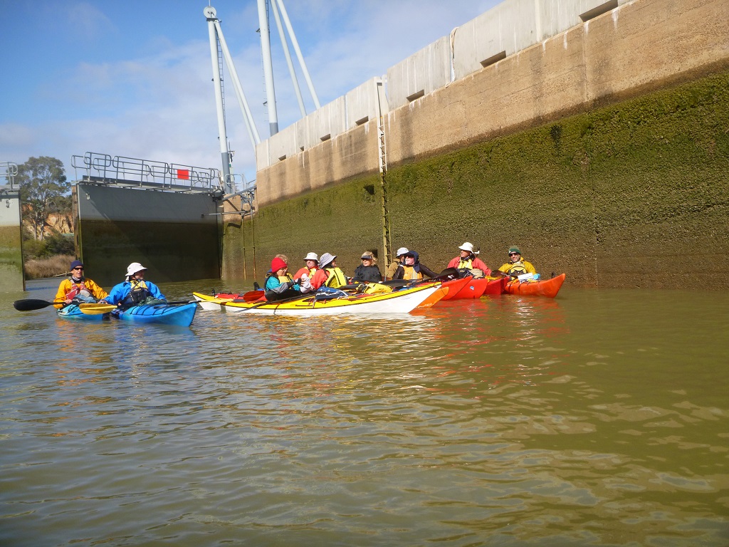
Ring the Lockmaster on (08) 8582 1388 to arrange passage or alternatively land your craft and go to the lock and speak to the Lockmaster. Only approach and enter the Lock when the red light on the Lock turns to green.
There is turbulent water in the Lock when it is filling or emptying. Raft up with other paddlers for safety and hold on to the ladders on the side of the Lock.
DO NOT TIE UP TO THE LADDERS
Note: there is no easy portage around Lock 4.
If doing the extended trip through the Splash, there are numerous campsites available for an overnight stay along this route. Campsites need to be booked online on the Parks SA website.
When doing the longer trip about 6.5 km after the log crossing regulator you will reach another regulator where the Splash enters Katarapko creek at Point E (GPS 34.3598 S 140.5398 E). After portaging around this regulator, turn left into Katarapko Creek.
![]()
![]()
![]()
![]()
![]()
Toilets and picnic area including BBQ at Lock 4 (launch site)
