


 Paddle SA is the governing body of paddle sport and recreation in South Australia. It leads and supports paddling in South Australia and encourages the safe exploration of our waterways.
Paddling Trail South Australia has a range of Paddling Trails to suit different abilities.
Know your ability.
Paddle SA is the governing body of paddle sport and recreation in South Australia. It leads and supports paddling in South Australia and encourages the safe exploration of our waterways.
Paddling Trail South Australia has a range of Paddling Trails to suit different abilities.
Know your ability.  https://canoeadventure.com.au/
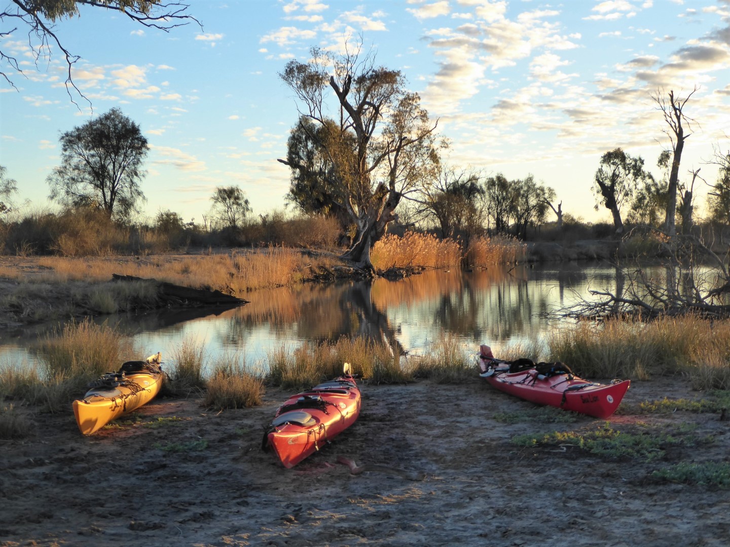
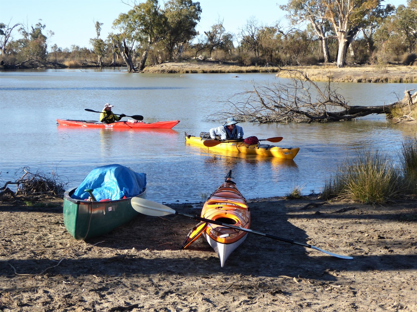
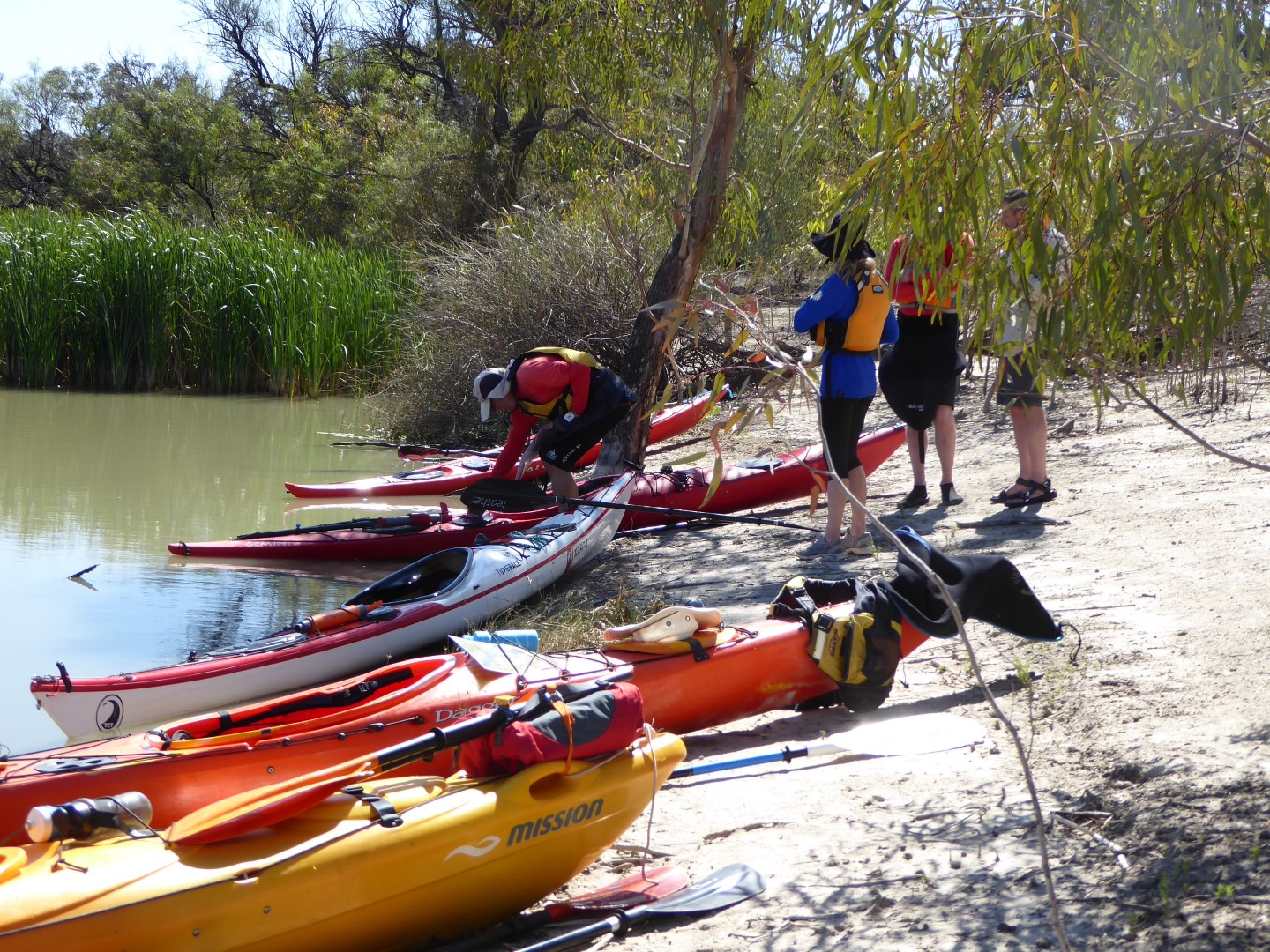
Canoe Adventures Riverland hire and deliver kayaks in this area.
www.facebook.com/
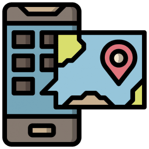
 If you have a smartphone or tablet you can download the free Avenza PDF Map app and have interactive paddling trail maps on hand when you need them. The app uses your device’s built-in GPS to plot your real-time location within the park onto a map. The app can be used without a network connection and without roaming charges. You can also measure area and distance, plot photos, and drop Placemark pins.
![]() Launch:
Launch:
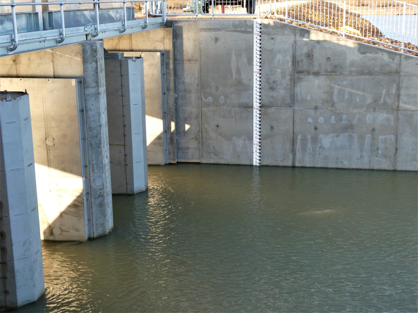
The Pike River Regulator (GPS 34.2583 S 140.7723 E) is located off Letton Road, Lyrup.
Turn off Stanitzki Road (Lyrup) at GPS 34.2697 S 140.7693 E and travel down Letton Road for 0.75km and turn right at that intersection. Then travel a further 1.6km to the regulator.
Trail Notes: This trail has 2 launch sites. From Point A the trails are identical.
The directions here are for clockwise travel however this loop trail can be done just as easily in the reverse direction.
Trail 1 starts at the pumphouse off Stanitzki Road.
To get to Point A paddle in a northwesterly direction. Note: there is a labyrinth of side creeks in this area, but if you keep right you will not get lost.
After 4.2km you will reach a junction with an island in the middle at Point A (GPS 34.2527 S 140.7616 E).
Trail 2 starts at the Pike River regulator on the downstream side.
Travel in a northerly direction.
After 1.0km you will reach a junction with an island in the middle of the waterway at Point A (GPS 34.2527 S 140.7616 E). This is the start of Rumpagunyah Creek. Keep travelling in the northerly direction past this island.
Travel about 1.75km further along this creek and then turn right into the creek at Point B (GPS 34.2438 S 140.7473 E).
About 1km up this creek you will reach a wide body of water. This is Tanyaca Creek. Turn right into this creek at Point C (GPS 34.2348 S 140. 7506 E).
Travel in Tanyaca Creek for about 2.5km and notice that it takes in a wide sweep to the left.
At Point D (GPS 34.2293 S 140.7616 E) take the small creek to the right and travel for about 1km to a junction at Point E (GPS 34.2219 S 140.7585 E). Turn right here. The left backwater is a dead end.
Travel about 0.5Km and cross the levee bank at this point at the ancillary regulator. There is a solid ramp designed for kayaks to portage across the regulator at this point. From here it is about 0.25km to Mundic Creek.
Caution: Do not attempt to portage across the main regulator located about 1km further along this creek as it has not been designed for portage.
Turn right in Mundic Creek and travel about 4.5km to a small creek on the RHS Point G (GPS 34.2098 S 140.7882 E). Turn right into this creek. Be aware that there is often a strong current in this creek.
After about half a kilometre you will reach a wide body of water – Pike Lagoon.
NOTE that both Pike Lagoon and Mundic Creek are quite exposed waters and a head wind can make them difficult paddling.
Follow the lagoon around to the right, ignoring the large anabranch about half a kilometre on the left and continue down the LHS of the lagoon for about 1.5km to Point H (GPS34.2083 S 140.8017 E).
This is the Upper Pike River. Follow this for about 5km to the junction with Snake Creek on the RHS at Point J (GPS 34.2341 s 140.8205 E).
Turn left (straight ahead) at this point in a north-easterly direction to stay in the Pike River. Note: Snake Creek on the RHS rapidly turns into a dead-end unless the water level is high.
Travel about 5km along this stretch of water to the remains of the Col Col Regulator at Point K (GPS 34.2668 S 140.8085 E). This has been replaced by the new Pike River regulator.
Travel 3.5km further on and you will reach the new Pike River regulator and your launch/exit site (Trail 1).
If you launched at the Pumphouse launch site 1, you will need to portage around the new regulator and continue downstream 1km to the island at Point A (GPS 34.2527 S 140.7616 E). Turn left at this point and travel 4.2km back to your launch site 2.
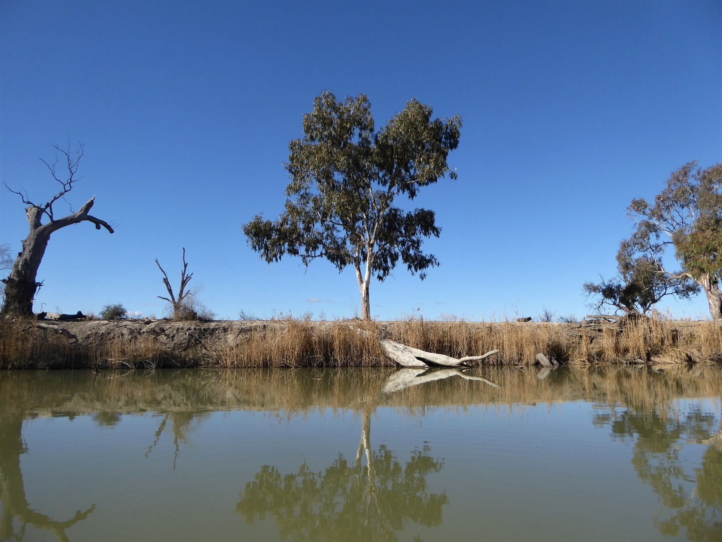
Trees near the Regulator provide some shade for car parking