

 Paddle SA is the governing body of paddle sport and recreation in South Australia. It leads and supports paddling in South Australia and encourages the safe exploration of our waterways.
Paddling Trail South Australia has a range of Paddling Trails to suit different abilities.
Know your ability.
Paddle SA is the governing body of paddle sport and recreation in South Australia. It leads and supports paddling in South Australia and encourages the safe exploration of our waterways.
Paddling Trail South Australia has a range of Paddling Trails to suit different abilities.
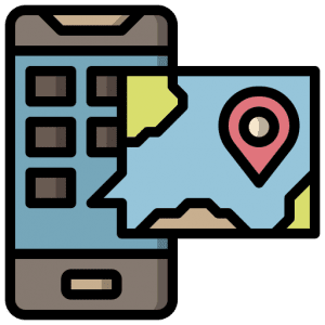
Know your ability.  If you have a smartphone or tablet you can download the free Avenza PDF Map app and have interactive paddling trail maps on hand when you need them. The app uses your device’s built-in GPS to plot your real-time location within the park onto a map. The app can be used without a network connection and without roaming charges. You can also measure area and distance, plot photos, and drop Placemark pins.
Launch Site: ![]() Blanchetown Public Boat ramp GPS: 34.3470 S; 139.6151 E
Blanchetown Public Boat ramp GPS: 34.3470 S; 139.6151 E
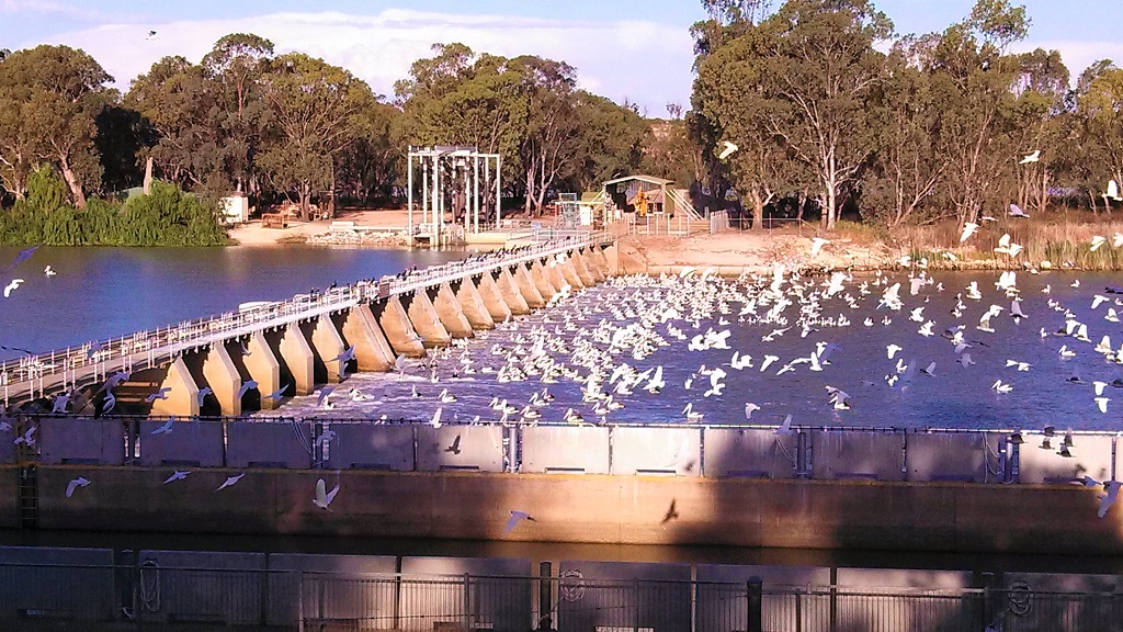
The loop starts from the Public Boat ramp Blanchetown (GPS: 34.3470 S; 139.6151 E) on the western (town side) of the river. It is located immediately below the bridge, however, access is through the town; drive down to and past the Lock and the boat ramp is at the end of this road.
Trail Points:
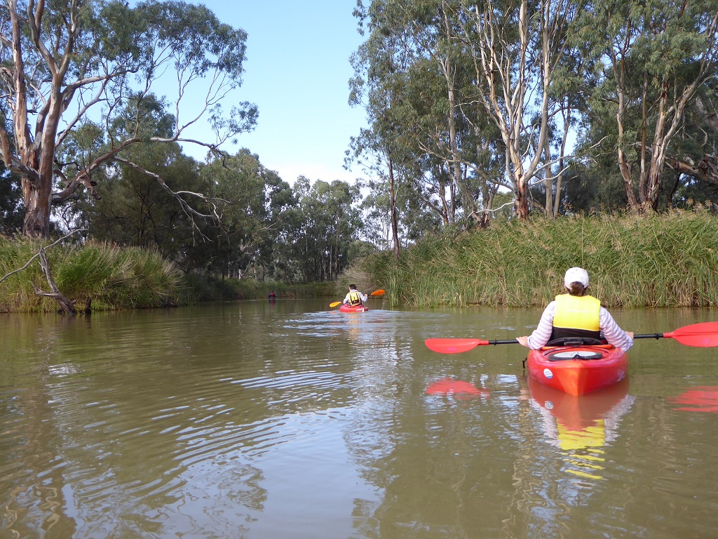
There is abundant bird life along the whole trail.
When setting out from the launch site keep left among the dead trees and you will soon enter a large lagoon. Keep to the right handside of the lagoon and you will then enter Cumbunga creek about 4.2K from the start point.
Take care to avoid the overhead rope crossing the creek, soon after entering the creek. This rope is used to move the manually operated ferry to transport sheep from one side of the creek to the other.
A number of “canoe trees” will be noted along the banks of the creek. The best example is actually on the right hand side close to the river not far past the ferry
Cumbunga creek widens out when it enters Roonka Conservation Park. There is a wide entrance back to river here but continue in the lagoon in a northwesterly direction and you will spot another narrow creek that goes back to the river at ![]() GPS34.2980S; 139.6381E.
GPS34.2980S; 139.6381E.
Go left when you enter the river keeping to the left of a small island (Reedy Island).
The Scouts Aquatic training camp will be spotted on the left and also the old “Roonka” homestead can be seen soon after. B&B is available there at Roonka cottages.
Keep going upstream and on the bend you will see Lazy B landing. A good spot with a concrete table and chairs for a stop for lunch.
Then continue upstream until the next bend and you will see the entrance to a small creek on the RHS at ![]() GPS 34.2839S; 139.6423E. There is a short portage here across a roadway.
GPS 34.2839S; 139.6423E. There is a short portage here across a roadway.
Enter this creek and this route takes paddlers around Julia Island There is a ski jump facility there (the Bedrock Water Ski Club operates here during the summer months). This immediate area should be avoided when they are active.
Follow this lagoon to the other end and the paddler will re enter the river at ![]() GPS 34.2973S; 139.6433E.
GPS 34.2973S; 139.6433E.
The route back to Blanchetown is back along the river, keeping an eye out for an excellent example of a “canoe tree” on the RHS about half a kilometer down from re entering the river.
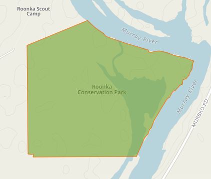
Roonka Conservation Park Roonka Conservation Park is located on the western side of the Murray River about 8km N of Blanchetown (and just south of the Roonka community).
Proclaimed in 1978 it occupies a total area of 102 hectares. It is managed by the Department of the Environment, Water and Natural Resources. More than 50 different species of birds have been recorded in the park, the most common species being the Little Black Cormorant, Sacred Kingfisher, Yellow Rosella, Dusky Woodswallow, and the Welcome Swallow.
Roonka Conservation Park is located on the western side of the Murray River about 8km N of Blanchetown (and just south of the Roonka community).
Proclaimed in 1978 it occupies a total area of 102 hectares. It is managed by the Department of the Environment, Water and Natural Resources. More than 50 different species of birds have been recorded in the park, the most common species being the Little Black Cormorant, Sacred Kingfisher, Yellow Rosella, Dusky Woodswallow, and the Welcome Swallow.
 In 1980 it was described as ‘containing a most important archaeological site, spanning about 18,000 years. It has yielded evidence of an extremely wide variety of mortuary practices, a large range of archaeological phenomena, and a long cultural sequence’. The site has been excavated over more than a decade by the South Australian Museum.

