


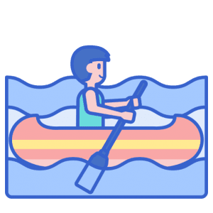
 Paddle SA is the governing body of paddle sport and recreation in South Australia. It leads and supports paddling in South Australia and encourages the safe exploration of our waterways.
Paddling Trail South Australia has a range of Paddling Trails to suit different abilities.
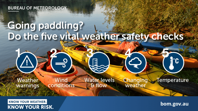
Know your ability.
Paddle SA is the governing body of paddle sport and recreation in South Australia. It leads and supports paddling in South Australia and encourages the safe exploration of our waterways.
Paddling Trail South Australia has a range of Paddling Trails to suit different abilities.
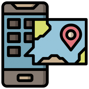
Know your ability.  If you have a smartphone or tablet you can download the free Avenza PDF Map app and have interactive paddling trail maps on hand when you need them. The app uses your device’s built-in GPS to plot your real-time location within the park onto a map. The app can be used without a network connection and without roaming charges. You can also measure area and distance, plot photos, and drop Placemark pins.
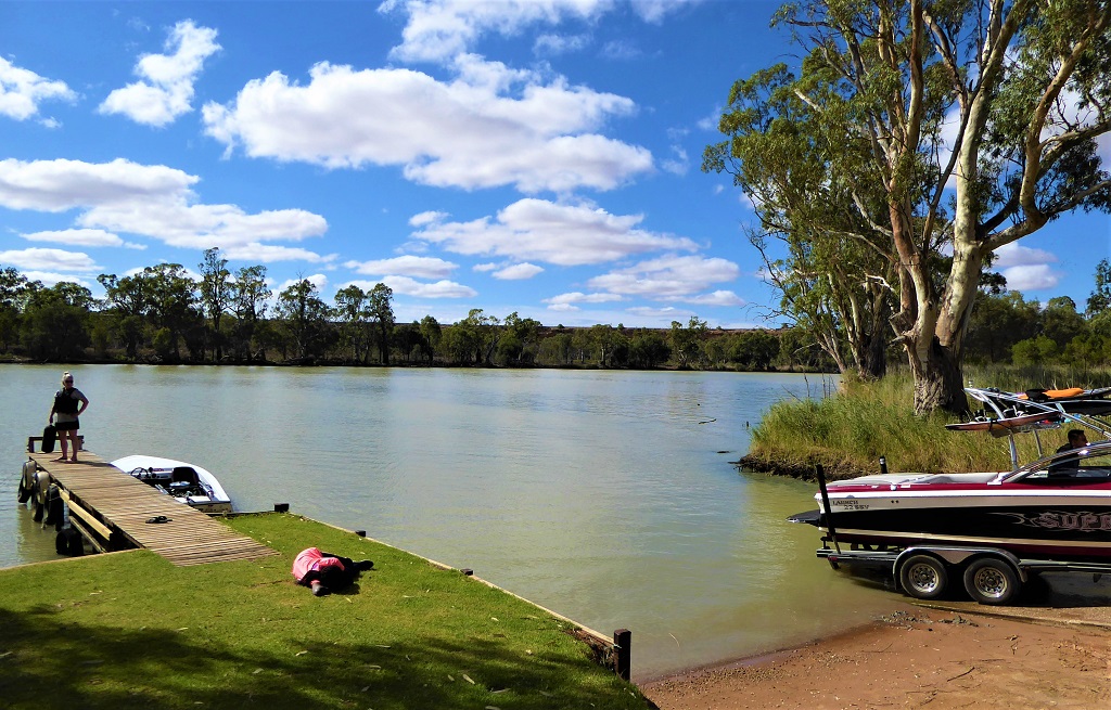
Launch Site: ![]() Punyelroo Public Boat Ramp. GPS: 34.6038 S; 139. 6032 E)
Punyelroo Public Boat Ramp. GPS: 34.6038 S; 139. 6032 E)
Trail Points:![]() The entrance to Punyelroo lagoon is almost opposite the Punyelroo Caravan Park.
The entrance to Punyelroo lagoon is almost opposite the Punyelroo Caravan Park.
The Punyelroo Cave is located at Point A (GPS: 34.5943 S; 139.6112 E) in the lagoon. The Punyelroo Cave extends for about 3 kms but exploration of it is not advised except for experienced cavers.
![]() The trail then continues further up the lagoon to Swan Reach to Point B (GPS: 34.5730 S; 139.5940 E). The town centre can be reached by a short (400m) walk along a path. This spot makes a good lunch stop. There is a short creek alongside the path but it may not be navigable.
The trail then continues further up the lagoon to Swan Reach to Point B (GPS: 34.5730 S; 139.5940 E). The town centre can be reached by a short (400m) walk along a path. This spot makes a good lunch stop. There is a short creek alongside the path but it may not be navigable.
The canoe trail returns to Punyelroo along the same route.
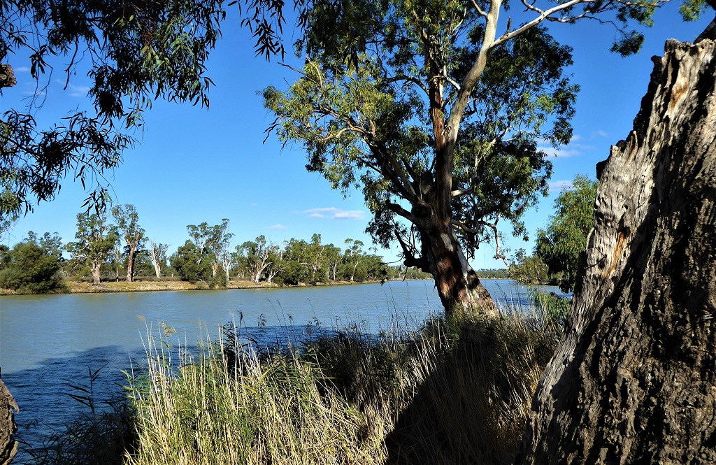
![]() A second loop downstream extends the trail to view the magnificent cliffs at Big Bend at Point C (GPS: 34.6463 S; 139.6233 E). This section adds a further 10-12km round trip.
A second loop downstream extends the trail to view the magnificent cliffs at Big Bend at Point C (GPS: 34.6463 S; 139.6233 E). This section adds a further 10-12km round trip.
![]()
![]()
![]()
![]()
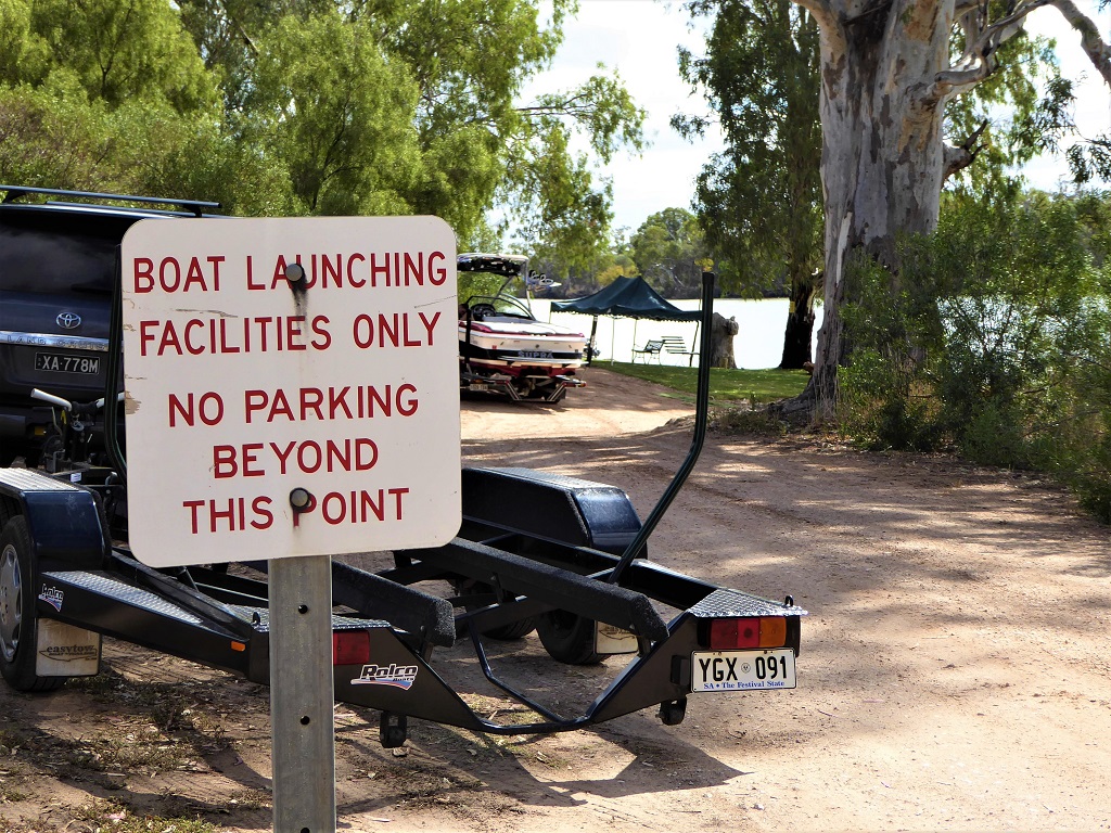
Punyelroo Caravan Park has all facilities including picnic area and its own boat ramp
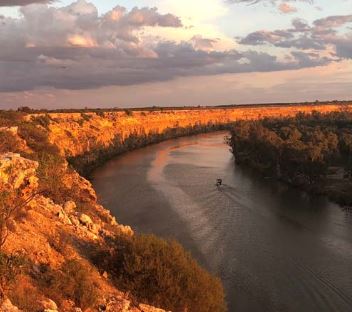 Big Bend
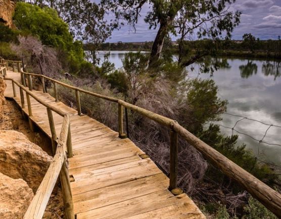 Ngaut Ngaut Aboriginal site
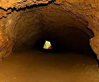 Punyelroo Cave
